46W289 Ellithorpe Rd Hampshire, IL 60140
Estimated Value: $657,000 - $797,583
4
Beds
2
Baths
2,907
Sq Ft
$250/Sq Ft
Est. Value
About This Home
This home is located at 46W289 Ellithorpe Rd, Hampshire, IL 60140 and is currently estimated at $727,292, approximately $250 per square foot. 46W289 Ellithorpe Rd is a home with nearby schools including Lily Lake Grade School, Central Middle School, and Prairie Knolls Middle School.
Ownership History
Date
Name
Owned For
Owner Type
Purchase Details
Closed on
Oct 14, 2004
Sold by
Matson Robert J and Matson Linda B
Bought by
Matson Robert J and Matson Linda B
Current Estimated Value
Home Financials for this Owner
Home Financials are based on the most recent Mortgage that was taken out on this home.
Original Mortgage
$100,000
Interest Rate
5.85%
Mortgage Type
Credit Line Revolving
Purchase Details
Closed on
Jan 7, 1998
Sold by
Matson Robert and Matson Linda
Bought by
County Of Kane
Create a Home Valuation Report for This Property
The Home Valuation Report is an in-depth analysis detailing your home's value as well as a comparison with similar homes in the area
Home Values in the Area
Average Home Value in this Area
Purchase History
| Date | Buyer | Sale Price | Title Company |
|---|---|---|---|
| Matson Robert J | -- | Chicago Title Insurance Co | |
| County Of Kane | -- | -- |
Source: Public Records
Mortgage History
| Date | Status | Borrower | Loan Amount |
|---|---|---|---|
| Closed | Matson Robert J | $100,000 |
Source: Public Records
Tax History Compared to Growth
Tax History
| Year | Tax Paid | Tax Assessment Tax Assessment Total Assessment is a certain percentage of the fair market value that is determined by local assessors to be the total taxable value of land and additions on the property. | Land | Improvement |
|---|---|---|---|---|
| 2024 | $20,268 | $264,705 | $85,501 | $179,204 |
| 2023 | $19,736 | $243,393 | $78,653 | $164,740 |
| 2022 | $18,902 | $222,931 | $72,084 | $150,847 |
| 2021 | $15,772 | $208,561 | $67,451 | $141,110 |
| 2020 | $15,306 | $200,696 | $64,883 | $135,813 |
| 2019 | $14,878 | $193,968 | $62,684 | $131,284 |
| 2018 | $13,982 | $183,791 | $59,398 | $124,393 |
| 2017 | $12,153 | $137,510 | $56,702 | $80,808 |
| 2016 | $12,193 | $129,408 | $53,375 | $76,033 |
| 2015 | -- | $125,845 | $51,890 | $73,955 |
| 2014 | -- | $119,835 | $47,357 | $72,478 |
| 2013 | -- | $125,623 | $48,272 | $77,351 |
Source: Public Records
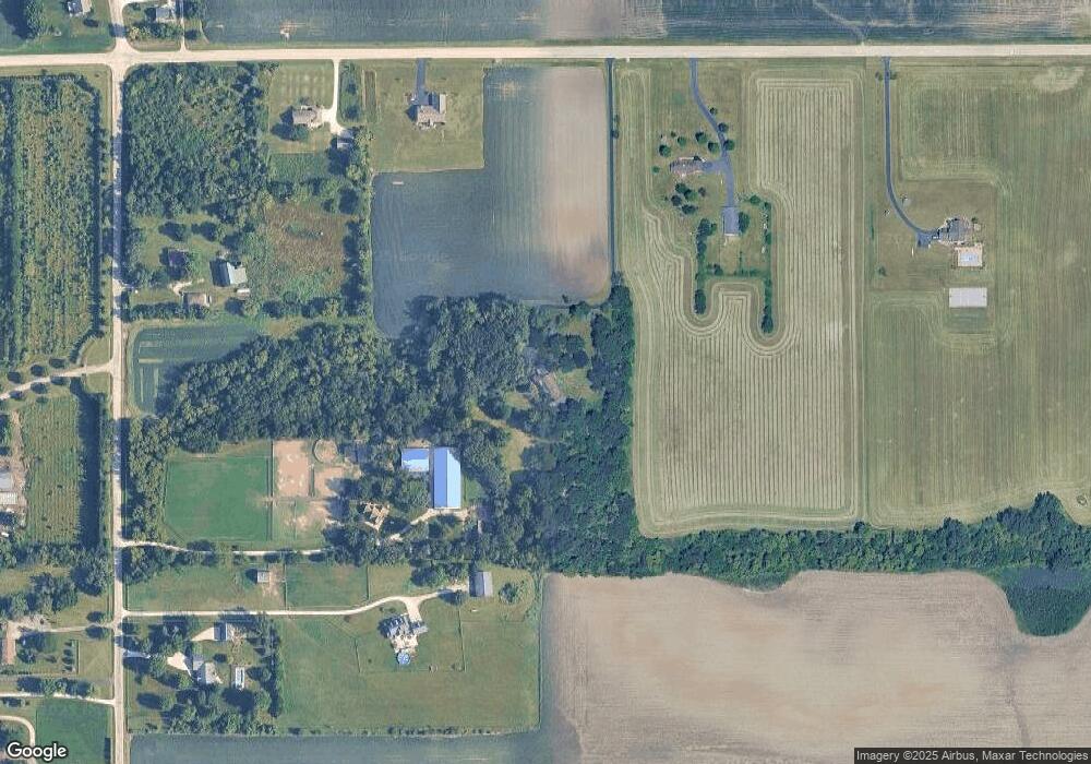
Map
Nearby Homes
- 44W669 Ramm Rd
- 300 Rolling Oaks Dr
- LOT 5 Rolling Oaks Dr
- 224 S Main St
- 174 E Center St
- 44W465 Plank Rd
- 1853 Chandolin Ln
- 1831 Chandolin Ln
- 1855 Chandolin Ln
- 45W909 Grollemond Ln
- 45W829 Grollemond Ln
- 45W910 Grollemond Ln
- 13N415 Burlington Rd
- 10N874 Rippburger Rd
- 0 Plank Rd
- 0 Plank Rd
- 41W591 Lenz Rd
- 1411 Oakfield Ln
- 1451 Oakfield Ln
- 1443 Oakfield Ln
- 9N775 Chapman Rd
- 46W347 Ellithorpe Rd
- 46W195 Ellithorpe Rd
- 9N735 Chapman Rd
- 9N909 Chapman Rd
- 46W433 Ellithorpe Rd
- 46W085 Ellithorpe Rd
- 9N699 Chapman Rd
- 46W470 Ellithorpe Rd
- 9N716 Chapman Rd
- 10N164 Chapman Rd
- 9N664 Chapman Rd
- 9N890 Chapman Rd
- 46W365 Middleton Rd
- 45W879 Ellithorpe Rd
- 46W451 Middleton Rd
- 46W247 Middleton Rd
- 9N680 Chapman Rd
- 46W612 Middleton Rd
- 9N704 Chapman Rd