46W464 Locust St Elburn, IL 60119
Estimated Value: $304,165 - $356,000
--
Bed
--
Bath
1,446
Sq Ft
$235/Sq Ft
Est. Value
About This Home
This home is located at 46W464 Locust St, Elburn, IL 60119 and is currently estimated at $339,291, approximately $234 per square foot. 46W464 Locust St is a home located in Kane County with nearby schools including Kaneland Blackberry Creek Elementary School, Harter Middle School, and Kaneland Senior High School.
Ownership History
Date
Name
Owned For
Owner Type
Purchase Details
Closed on
Apr 15, 2016
Sold by
Mccord David and Mccord Kelly N
Bought by
Mccord Daniel R
Current Estimated Value
Home Financials for this Owner
Home Financials are based on the most recent Mortgage that was taken out on this home.
Original Mortgage
$138,000
Interest Rate
4.25%
Mortgage Type
New Conventional
Purchase Details
Closed on
Dec 2, 2013
Sold by
Mccord David
Bought by
Mccord David and Mccord Daniel R
Purchase Details
Closed on
Aug 27, 1997
Sold by
Mccord Charlene
Bought by
Mccord David
Create a Home Valuation Report for This Property
The Home Valuation Report is an in-depth analysis detailing your home's value as well as a comparison with similar homes in the area
Home Values in the Area
Average Home Value in this Area
Purchase History
| Date | Buyer | Sale Price | Title Company |
|---|---|---|---|
| Mccord Daniel R | -- | Resource Title Llc | |
| Mccord David | -- | None Available | |
| Mccord David | -- | Chicago Title Insurance Co |
Source: Public Records
Mortgage History
| Date | Status | Borrower | Loan Amount |
|---|---|---|---|
| Closed | Mccord Daniel R | $138,000 |
Source: Public Records
Tax History Compared to Growth
Tax History
| Year | Tax Paid | Tax Assessment Tax Assessment Total Assessment is a certain percentage of the fair market value that is determined by local assessors to be the total taxable value of land and additions on the property. | Land | Improvement |
|---|---|---|---|---|
| 2024 | $6,543 | $89,583 | $26,129 | $63,454 |
| 2023 | $6,485 | $83,457 | $24,342 | $59,115 |
| 2022 | $6,225 | $76,524 | $22,320 | $54,204 |
| 2021 | $6,026 | $73,334 | $21,390 | $51,944 |
| 2020 | $5,866 | $70,807 | $20,653 | $50,154 |
| 2019 | $5,736 | $67,979 | $19,828 | $48,151 |
| 2018 | $5,344 | $61,962 | $18,073 | $43,889 |
| 2017 | $4,956 | $56,685 | $16,534 | $40,151 |
| 2016 | $4,599 | $51,635 | $15,061 | $36,574 |
| 2015 | -- | $48,212 | $14,063 | $34,149 |
| 2014 | -- | $48,212 | $14,063 | $34,149 |
| 2013 | -- | $51,986 | $15,164 | $36,822 |
Source: Public Records
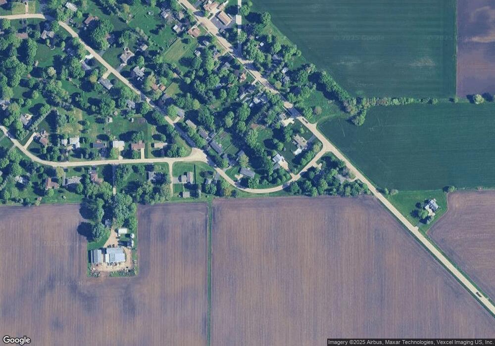
Map
Nearby Homes
- 2S234 Harter Rd
- 2S114 Harter Rd
- 44W301 Main St
- 000 Finley Rd
- 0N119 Dauberman Rd
- Willow Creek Lot 60 Willow Creek Dr
- 43W714 Willow Creek Ct Unit 4
- 43W690 Marian Cir
- 44W099 Finley Rd
- Lot 37 Houtz Cir
- Lot 84 Houtz Cir
- 18-acres Rt 47 - Hughes Rd
- 165 Schneider Rd
- 44W700 Rowe Rd
- LOT 7 Rowe Rd
- 00 Rt 38 Rd
- Lot #7 Derek Dr
- 12 Derek Dr
- 16 Derek Dr
- 5 Derek Dr
- 46W418 Locust St Unit 2
- 46W500 Locust St Unit 2
- 46W495 Locust St
- 2S404 Harter Rd
- 46W512 Locust St
- 2S432 Harter Rd Unit 2
- 46W527 Elm St
- 2S392 Harter Rd
- 46W385 Locust St
- 2S382 Harter Rd
- 46W524 Locust St
- 46W540 Locust St
- 2S472 Harter Rd
- 46W554 Elm St
- 2S389 Harter Rd
- 2S356 Harter Rd
- 46W563 Elm St Unit 2
- 2S371 Harter Rd
- 2S342 Harter Rd