46W640 Locust St Elburn, IL 60119
Estimated Value: $320,000 - $348,000
3
Beds
2
Baths
1,314
Sq Ft
$256/Sq Ft
Est. Value
About This Home
This home is located at 46W640 Locust St, Elburn, IL 60119 and is currently estimated at $335,921, approximately $255 per square foot. 46W640 Locust St is a home located in Kane County with nearby schools including Kaneland Blackberry Creek Elementary School, Harter Middle School, and Kaneland Senior High School.
Ownership History
Date
Name
Owned For
Owner Type
Purchase Details
Closed on
Feb 13, 2014
Sold by
Binge Cheryl J
Bought by
Binge Cheryl J and The Cheryl J Binge Declaration Of Trust
Current Estimated Value
Purchase Details
Closed on
Apr 29, 1998
Sold by
Binge Thomas H and Boughton Rosemary I
Bought by
Binge Thomas M and Binge Cheryl J
Home Financials for this Owner
Home Financials are based on the most recent Mortgage that was taken out on this home.
Original Mortgage
$85,350
Interest Rate
7.18%
Create a Home Valuation Report for This Property
The Home Valuation Report is an in-depth analysis detailing your home's value as well as a comparison with similar homes in the area
Home Values in the Area
Average Home Value in this Area
Purchase History
| Date | Buyer | Sale Price | Title Company |
|---|---|---|---|
| Binge Cheryl J | -- | None Available | |
| Binge Thomas M | -- | Fox Title Company |
Source: Public Records
Mortgage History
| Date | Status | Borrower | Loan Amount |
|---|---|---|---|
| Closed | Binge Thomas M | $85,350 |
Source: Public Records
Tax History Compared to Growth
Tax History
| Year | Tax Paid | Tax Assessment Tax Assessment Total Assessment is a certain percentage of the fair market value that is determined by local assessors to be the total taxable value of land and additions on the property. | Land | Improvement |
|---|---|---|---|---|
| 2024 | $6,465 | $88,612 | $26,129 | $62,483 |
| 2023 | $6,407 | $82,552 | $24,342 | $58,210 |
| 2022 | $6,152 | $75,694 | $22,320 | $53,374 |
| 2021 | $5,955 | $72,539 | $21,390 | $51,149 |
| 2020 | $5,796 | $70,039 | $20,653 | $49,386 |
| 2019 | $5,668 | $67,242 | $19,828 | $47,414 |
| 2018 | $5,280 | $61,291 | $18,073 | $43,218 |
| 2017 | $4,896 | $56,071 | $16,534 | $39,537 |
| 2016 | $4,542 | $51,076 | $15,061 | $36,015 |
| 2015 | -- | $47,690 | $14,063 | $33,627 |
| 2014 | -- | $47,690 | $14,063 | $33,627 |
| 2013 | -- | $51,423 | $15,164 | $36,259 |
Source: Public Records
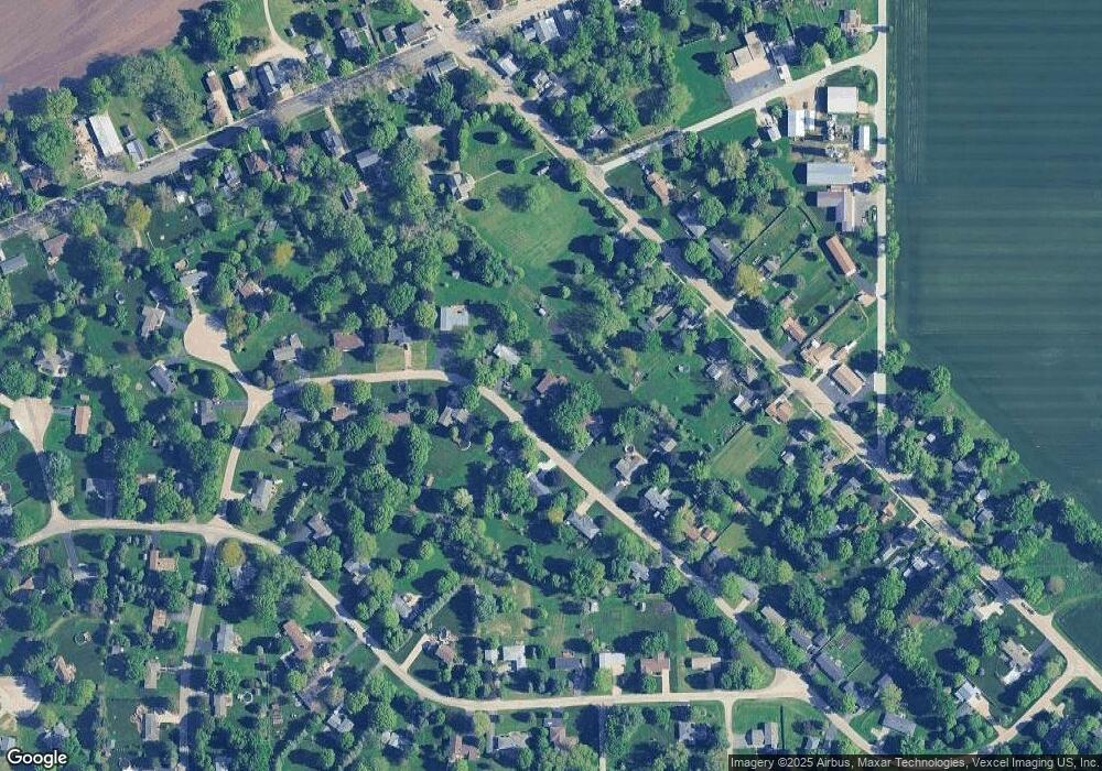
Map
Nearby Homes
- 2S234 Harter Rd
- 2S114 Harter Rd
- 44W301 Main St
- 0N119 Dauberman Rd
- Willow Creek Lot 60 Willow Creek Dr
- 43W714 Willow Creek Ct Unit 4
- 000 Finley Rd
- Lot 37 Houtz Cir
- Lot 84 Houtz Cir
- 18-acres Rt 47 - Hughes Rd
- 43W690 Marian Cir
- 165 Schneider Rd
- 44W099 Finley Rd
- 44W700 Rowe Rd
- LOT 7 Rowe Rd
- 00 Rt 38 Rd
- 48W201 Keslinger Rd
- Lot #7 Derek Dr
- 12 Derek Dr
- 16 Derek Dr
- 46W620 Locust St
- 46W660 Locust St
- 46W645 Locust St
- 46W600 Locust St
- 46W631 Locust St
- 46W673 Locust St
- 46W680 Locust St
- 2S256 Harter Rd
- 2S246 Harter Rd
- 46W615 Locust St
- 46W758 Locust St
- 2S222 Harter Rd
- 2S272 Harter Rd
- 46W584 Locust St Unit 4
- 46W710 Locust St
- 46W707 Locust St
- 2S286 Harter Rd
- 46W569 Locust St
- 46W566 Locust St