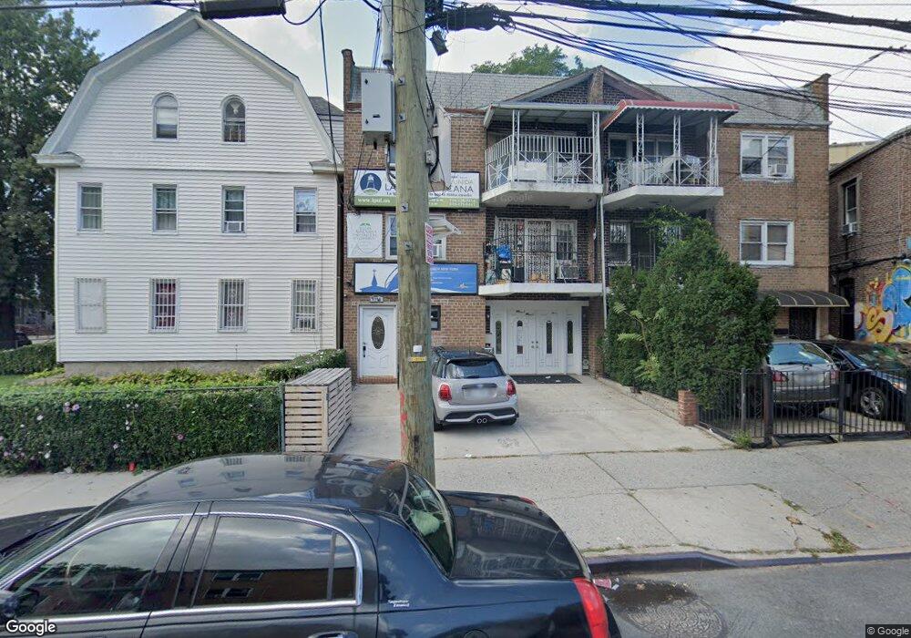
47-10 92nd St Elmhurst, NY 11373
Elmhurst NeighborhoodEstimated Value: $1,427,803
6
Beds
6
Baths
5,325
Sq Ft
$268/Sq Ft
Est. Value
About This Home
This home is located at 47-10 92nd St, Elmhurst, NY 11373 and is currently estimated at $1,427,803, approximately $268 per square foot. 47-10 92nd St is a home located in Queens County with nearby schools including P.S. 13 Clement C Moore, IS 73 - The Frank Sansivieri School, and Newtown High School.
Ownership History
Date
Name
Owned For
Owner Type
Purchase Details
Closed on
Aug 5, 2015
Sold by
Manjarres Julio and Manjarres Julio C
Bought by
Unida Concilio De Iglesias Pentecostales
Current Estimated Value
Purchase Details
Closed on
Jul 26, 2006
Sold by
Exposite Ernest
Bought by
Manjarres and Julio C
Home Financials for this Owner
Home Financials are based on the most recent Mortgage that was taken out on this home.
Original Mortgage
$741,600
Interest Rate
6.49%
Mortgage Type
Commercial
Create a Home Valuation Report for This Property
The Home Valuation Report is an in-depth analysis detailing your home's value as well as a comparison with similar homes in the area
Home Values in the Area
Average Home Value in this Area
Purchase History
| Date | Buyer | Sale Price | Title Company |
|---|---|---|---|
| Unida Concilio De Iglesias Pentecostales | -- | -- | |
| Manjarres | $927,000 | -- |
Source: Public Records
Mortgage History
| Date | Status | Borrower | Loan Amount |
|---|---|---|---|
| Previous Owner | Manjarres | $741,600 |
Source: Public Records
Tax History Compared to Growth
Tax History
| Year | Tax Paid | Tax Assessment Tax Assessment Total Assessment is a certain percentage of the fair market value that is determined by local assessors to be the total taxable value of land and additions on the property. | Land | Improvement |
|---|---|---|---|---|
| 2025 | $14,431 | $77,645 | $17,353 | $60,292 |
| 2024 | $14,443 | $73,250 | $18,092 | $55,158 |
| 2023 | $13,750 | $69,104 | $18,771 | $50,333 |
| 2022 | $12,728 | $77,820 | $25,800 | $52,020 |
| 2021 | $13,424 | $70,320 | $25,800 | $44,520 |
| 2020 | $13,400 | $75,300 | $25,800 | $49,500 |
| 2019 | $12,477 | $79,260 | $25,800 | $53,460 |
| 2018 | $11,441 | $57,587 | $22,491 | $35,096 |
| 2017 | $10,775 | $54,328 | $22,615 | $31,713 |
| 2016 | $10,551 | $54,328 | $22,615 | $31,713 |
| 2015 | $5,962 | $53,921 | $23,002 | $30,919 |
| 2014 | $5,962 | $50,869 | $22,761 | $28,108 |
Source: Public Records
Map
Nearby Homes
- 4808 92nd St
- 91-23 Corona Ave Unit 6B
- 91-23 Corona Ave Unit 2A
- 91-23 Corona Ave Unit 5E
- 91-23 Corona Ave Unit 5A
- 91-23 Corona Ave Unit 6C
- 91-23 Corona Ave Unit 4A
- 91-23 Corona Ave Unit 2F
- 90-19 Corona Ave
- 91-16 43rd Ave
- 91-08 43rd Ave
- 91-02 50th Ave
- 93-10 50th Ave
- 47-11 90th St
- 48-36 90th St
- 93-09 43rd Ave
- 94-14 Corona Ave
- 9421 Alstyne Ave Unit 2D
- 42-87 Hampton St
- 9052 52nd Ave
- 4710 92nd St
- 4708 92nd St
- 9141 48th Ave
- 9141 92nd St
- 9135 48th Ave
- 9130 Corona Ave
- 9128 Corona Ave
- 9128 Corona Ave
- 9128 Corona Ave
- 9133 48th Ave
- 9126 Corona Ave
- 9124 Corona Ave Unit 2
- 9124 Corona Ave Unit 3
- 9122 Corona Ave
- 9120 Corona Ave
- 9129 48th Ave
- 91-20 Corona Ave Unit 1FL&Ba
- 91-20 Corona Ave
- 91-29 48th Ave Unit 3rd Fl
- 91-29 48th Ave
