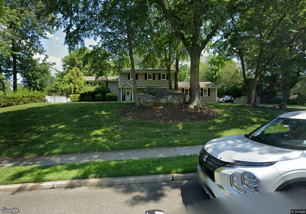
47 Algonquin Trail Oakland, NJ 07436
Estimated Value: $893,761 - $1,006,000
--
Bed
--
Bath
2,376
Sq Ft
$398/Sq Ft
Est. Value
About This Home
This home is located at 47 Algonquin Trail, Oakland, NJ 07436 and is currently estimated at $945,190, approximately $397 per square foot. 47 Algonquin Trail is a home located in Bergen County with nearby schools including Manito Elementary School, Valley Middle School, and Indian Hills High School.
Ownership History
Date
Name
Owned For
Owner Type
Purchase Details
Closed on
Mar 31, 2009
Sold by
Brodesser Norman C and Brodesser Mary Ann
Bought by
Snudden Michael and Snudden Rene
Current Estimated Value
Home Financials for this Owner
Home Financials are based on the most recent Mortgage that was taken out on this home.
Original Mortgage
$230,000
Outstanding Balance
$145,241
Interest Rate
4.92%
Mortgage Type
Purchase Money Mortgage
Estimated Equity
$799,949
Create a Home Valuation Report for This Property
The Home Valuation Report is an in-depth analysis detailing your home's value as well as a comparison with similar homes in the area
Home Values in the Area
Average Home Value in this Area
Purchase History
| Date | Buyer | Sale Price | Title Company |
|---|---|---|---|
| Snudden Michael | $510,000 | -- |
Source: Public Records
Mortgage History
| Date | Status | Borrower | Loan Amount |
|---|---|---|---|
| Open | Snudden Michael | $230,000 |
Source: Public Records
Tax History Compared to Growth
Tax History
| Year | Tax Paid | Tax Assessment Tax Assessment Total Assessment is a certain percentage of the fair market value that is determined by local assessors to be the total taxable value of land and additions on the property. | Land | Improvement |
|---|---|---|---|---|
| 2025 | $15,583 | $738,700 | $362,900 | $375,800 |
| 2024 | $15,236 | $677,500 | $322,400 | $355,100 |
| 2023 | $14,702 | $641,800 | $303,600 | $338,200 |
| 2022 | $14,702 | $625,100 | $294,700 | $330,400 |
| 2021 | $14,220 | $463,200 | $232,800 | $230,400 |
| 2020 | $13,891 | $463,200 | $232,800 | $230,400 |
| 2019 | $13,405 | $463,200 | $232,800 | $230,400 |
| 2018 | $13,122 | $463,200 | $232,800 | $230,400 |
| 2017 | $12,951 | $463,200 | $232,800 | $230,400 |
| 2016 | $12,599 | $463,200 | $232,800 | $230,400 |
| 2015 | $12,349 | $463,200 | $232,800 | $230,400 |
| 2014 | $12,094 | $463,200 | $232,800 | $230,400 |
Source: Public Records
Map
Nearby Homes
- 83 Oneida Ave
- 29 Manito Ave
- 737 Surrey Ln
- 731 Surrey Ln
- 23 Chuckanutt Dr
- 766 Natures Way
- 12 Fordham Rd
- 716 Galloping Hill Rd
- 701 Sneider Ln
- 7 Valley Forge Rd
- 450 Saddle Back Trail
- 21 Cardinal Dr
- 425 Saddle Back Trail
- 705 Sneider Ln
- 632 Ramapo Valley Rd
- 724 Tall Oaks Ct
- 11 Loyola Place
- 732 Mardinly Ave
- 22 Calumet Ave
- 28 Minnehaha Blvd
- 55 Algonquin Trail
- 41 Algonquin Trail
- 7 Hopi Ct
- 46 Algonquin Trail
- 52 Algonquin Trail
- 40 Algonquin Trail
- 9 Hopi Ct
- 35 Algonquin Trail
- 58 Algonquin Trail
- 45 Chicasaw Dr
- 51 Chicasaw Dr
- 63 Algonquin Trail
- 8 Hopi Ct
- 34 Algonquin Trail
- 57 Chicasaw Dr
- 39 Chicasaw Dr
- 64 Algonquin Trail
- 88 Chuckanutt Dr
- 29 Algonquin Trail
- 92 Chuckanutt Dr