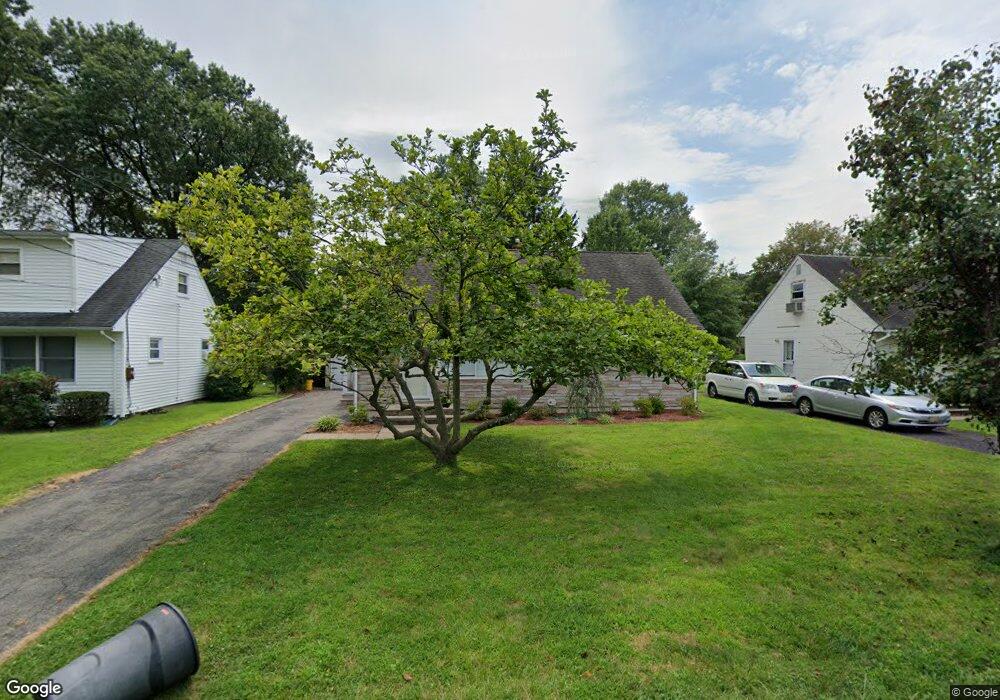
47 Anderson Pkwy Cedar Grove, NJ 07009
Estimated Value: $572,509 - $595,000
--
Bed
--
Bath
1,152
Sq Ft
$506/Sq Ft
Est. Value
About This Home
This home is located at 47 Anderson Pkwy, Cedar Grove, NJ 07009 and is currently estimated at $583,127, approximately $506 per square foot. 47 Anderson Pkwy is a home located in Essex County with nearby schools including Cedar Grove High School, Monarch Montessori School, and St Catherine Of Siena School.
Ownership History
Date
Name
Owned For
Owner Type
Purchase Details
Closed on
Oct 24, 2002
Sold by
Franchino Joseph
Bought by
Tanella Peter and Tanella Kimlani
Current Estimated Value
Home Financials for this Owner
Home Financials are based on the most recent Mortgage that was taken out on this home.
Original Mortgage
$210,000
Interest Rate
6.16%
Purchase Details
Closed on
Oct 21, 1997
Sold by
Franchino Irene
Bought by
Franchino Joseph
Create a Home Valuation Report for This Property
The Home Valuation Report is an in-depth analysis detailing your home's value as well as a comparison with similar homes in the area
Home Values in the Area
Average Home Value in this Area
Purchase History
| Date | Buyer | Sale Price | Title Company |
|---|---|---|---|
| Tanella Peter | $262,500 | -- | |
| Franchino Joseph | $170,000 | -- |
Source: Public Records
Mortgage History
| Date | Status | Borrower | Loan Amount |
|---|---|---|---|
| Previous Owner | Tanella Peter | $210,000 |
Source: Public Records
Tax History Compared to Growth
Tax History
| Year | Tax Paid | Tax Assessment Tax Assessment Total Assessment is a certain percentage of the fair market value that is determined by local assessors to be the total taxable value of land and additions on the property. | Land | Improvement |
|---|---|---|---|---|
| 2025 | $8,321 | $318,800 | $195,800 | $123,000 |
| 2024 | $8,321 | $318,800 | $195,800 | $123,000 |
| 2022 | $8,174 | $318,800 | $195,800 | $123,000 |
| 2021 | $8,075 | $318,800 | $195,800 | $123,000 |
| 2020 | $8,193 | $318,800 | $195,800 | $123,000 |
| 2019 | $8,005 | $318,800 | $195,800 | $123,000 |
| 2018 | $7,638 | $318,800 | $195,800 | $123,000 |
| 2017 | $7,556 | $318,800 | $195,800 | $123,000 |
| 2016 | $7,323 | $318,800 | $195,800 | $123,000 |
| 2015 | $7,154 | $318,800 | $195,800 | $123,000 |
| 2014 | $7,007 | $318,800 | $195,800 | $123,000 |
Source: Public Records
Map
Nearby Homes
- 120 Anderson Pkwy
- 157 1st Ave
- 26 Chestnut Ct
- 1 Chestnut Ct
- 31 Chestnut Ct Unit 16
- 303 Abbe Rd
- 84 Center Ave
- 505 Holly Ln
- 806 Holly Ln
- 911 Holly Ln Unit 11
- 911 Holly Ln
- 7 Mountain Ridge Dr Unit 4B
- 185 Wilmore Rd
- 215 Eileen Dr
- 207 Eileen Dr
- 4 Mountain Ridge Dr Unit 25
- 4 Mountain Ridge Dr
- 47 1st Ave
- 6 Meadow Dr
- 96 Montclair Ave
- 43 Anderson Pkwy
- 51 Anderson Pkwy
- 39 Anderson Pkwy
- 55 Anderson Pkwy
- 20 Carlson Pkwy
- 24 Carlson Pkwy
- 28 Carlson Pkwy
- 48 Anderson Pkwy
- 33 Anderson Pkwy
- 52 Anderson Pkwy
- 44 Anderson Pkwy
- 59 Anderson Pkwy
- 16 Carlson Pkwy
- 32 Carlson Pkwy
- 56 Anderson Pkwy
- 40 Anderson Pkwy
- 63 Anderson Pkwy
- 36 Carlson Pkwy
- 12 Carlson Pkwy
- 36 Anderson Pkwy