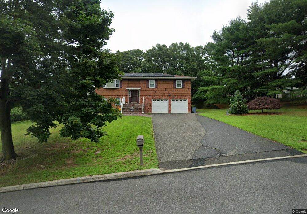
47 Avenue D Ronkonkoma, NY 11779
Estimated Value: $584,000 - $788,000
4
Beds
2
Baths
2,310
Sq Ft
$310/Sq Ft
Est. Value
About This Home
This home is located at 47 Avenue D, Ronkonkoma, NY 11779 and is currently estimated at $715,651, approximately $309 per square foot. 47 Avenue D is a home located in Suffolk County with nearby schools including Chippewa Elementary School, Sagamore Middle School, and Sachem High School East.
Ownership History
Date
Name
Owned For
Owner Type
Purchase Details
Closed on
Feb 22, 2019
Sold by
Bryant Michale and Bryant Lillian S
Bought by
Bryant Lillian S
Current Estimated Value
Purchase Details
Closed on
Jun 22, 2009
Sold by
Silber Allen
Bought by
Auerbach Shay and Rugolo Robert
Home Financials for this Owner
Home Financials are based on the most recent Mortgage that was taken out on this home.
Original Mortgage
$291,900
Interest Rate
4.86%
Mortgage Type
Purchase Money Mortgage
Create a Home Valuation Report for This Property
The Home Valuation Report is an in-depth analysis detailing your home's value as well as a comparison with similar homes in the area
Home Values in the Area
Average Home Value in this Area
Purchase History
| Date | Buyer | Sale Price | Title Company |
|---|---|---|---|
| Bryant Lillian S | -- | -- | |
| Auerbach Shay | $365,000 | -- | |
| Auerbach Shay | $365,000 | -- |
Source: Public Records
Mortgage History
| Date | Status | Borrower | Loan Amount |
|---|---|---|---|
| Previous Owner | Auerbach Shay | $291,900 |
Source: Public Records
Tax History Compared to Growth
Tax History
| Year | Tax Paid | Tax Assessment Tax Assessment Total Assessment is a certain percentage of the fair market value that is determined by local assessors to be the total taxable value of land and additions on the property. | Land | Improvement |
|---|---|---|---|---|
| 2024 | $10,596 | $3,030 | $325 | $2,705 |
| 2023 | $10,596 | $3,030 | $325 | $2,705 |
| 2022 | $9,337 | $3,030 | $325 | $2,705 |
| 2021 | $9,337 | $3,030 | $325 | $2,705 |
| 2020 | $9,675 | $3,030 | $325 | $2,705 |
| 2019 | $9,675 | $0 | $0 | $0 |
| 2018 | $9,006 | $3,030 | $325 | $2,705 |
| 2017 | $9,006 | $3,030 | $325 | $2,705 |
| 2016 | $9,016 | $3,230 | $325 | $2,905 |
| 2015 | -- | $3,230 | $325 | $2,905 |
| 2014 | -- | $3,030 | $325 | $2,705 |
Source: Public Records
Map
Nearby Homes
- 5 Hermart Ln
- 72 Radburn Dr
- 39 Crestwood Ln
- 275 Avenue B
- 262 Avenue C
- 7 Weldon Ln
- 355 Avenue A
- 20 Peak St
- 19 Sherwood Ct
- 350 Holbrook Rd
- 28 Ozark St
- 31 Champlin St
- 26 Liber Blvd
- 9 Songsparrow Ln
- 7 Plymouth St
- 112 A Holbrook Rd
- 156 Horseblock Rd
- 36 Leeds Blvd
- 0 Blydenburgh Rd
- 64 (Lot 2 Ashford) Blydenburgh Rd