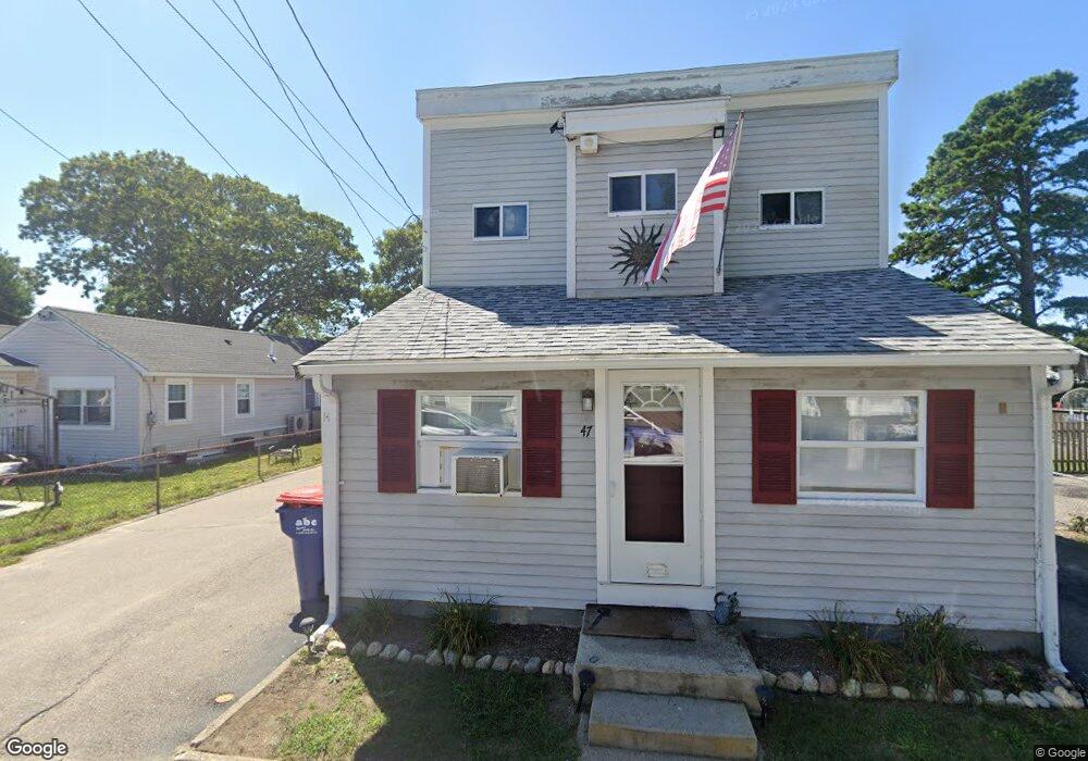
47 Bayview St Unit 1 Wareham, MA 02571
Wareham Center NeighborhoodEstimated Value: $456,000 - $538,837
2
Beds
1
Bath
542
Sq Ft
$943/Sq Ft
Est. Value
About This Home
This home is located at 47 Bayview St Unit 1, Wareham, MA 02571 and is currently estimated at $511,209, approximately $943 per square foot. 47 Bayview St Unit 1 is a home located in Plymouth County.
Ownership History
Date
Name
Owned For
Owner Type
Purchase Details
Closed on
Feb 21, 2020
Sold by
Demattia Michael Jr Est and Demattia
Bought by
Leblanc Joan M and Brooksbank Conor
Current Estimated Value
Home Financials for this Owner
Home Financials are based on the most recent Mortgage that was taken out on this home.
Original Mortgage
$281,200
Outstanding Balance
$248,451
Interest Rate
3.6%
Mortgage Type
New Conventional
Estimated Equity
$262,758
Create a Home Valuation Report for This Property
The Home Valuation Report is an in-depth analysis detailing your home's value as well as a comparison with similar homes in the area
Home Values in the Area
Average Home Value in this Area
Purchase History
| Date | Buyer | Sale Price | Title Company |
|---|---|---|---|
| Leblanc Joan M | $296,000 | None Available | |
| Leblanc Joan M | $296,000 | None Available |
Source: Public Records
Mortgage History
| Date | Status | Borrower | Loan Amount |
|---|---|---|---|
| Open | Leblanc Joan M | $281,200 | |
| Closed | Leblanc Joan M | $281,200 |
Source: Public Records
Tax History
| Year | Tax Paid | Tax Assessment Tax Assessment Total Assessment is a certain percentage of the fair market value that is determined by local assessors to be the total taxable value of land and additions on the property. | Land | Improvement |
|---|---|---|---|---|
| 2025 | $4,869 | $467,300 | $115,300 | $352,000 |
| 2024 | $5,068 | $451,300 | $88,300 | $363,000 |
| 2023 | $4,581 | $395,400 | $80,300 | $315,100 |
| 2022 | $4,581 | $347,600 | $80,300 | $267,300 |
| 2021 | $4,508 | $335,200 | $80,300 | $254,900 |
| 2020 | $4,174 | $314,800 | $80,300 | $234,500 |
| 2019 | $3,881 | $292,000 | $72,600 | $219,400 |
| 2018 | $3,906 | $286,600 | $72,600 | $214,000 |
| 2017 | $3,632 | $270,000 | $72,600 | $197,400 |
| 2016 | $3,259 | $240,900 | $68,800 | $172,100 |
| 2015 | $3,203 | $245,100 | $68,800 | $176,300 |
| 2014 | $3,319 | $258,300 | $68,800 | $189,500 |
Source: Public Records
Map
Nearby Homes
- 10 Barnes St
- 21 Bayview St
- 6 Wildwood Ave
- 6 Pine St
- 43 Shore Ave
- 20 Grant St
- 6 Allen Ave
- 15 Broadmarsh Ave
- 0 Cromesett Rd (Off) Unit 73385395
- 3 Cranberry Grove Way Unit C
- 4 Mather Dr
- 106 Circuit Ave
- 4 Roosevelt St
- 14 Briarwood Dr
- 12 Taft St
- 9 Woodville Way
- 233 Marion Rd
- 6 Bourne Terrace
- 0 Cross Neck Rd Unit 73420524
- 0 Cross Neck Rd Unit 73466177
- 47 Bayview St
- 49 Bayview St
- 45 Bayview St
- 51B Bayview St
- 51A Bayview St
- 36 Pleasant St
- 34 Pleasant St
- 10 Galavotti Ave
- 43 Bayview St
- 53 Bayview St
- 50 Bayview St
- 44 Bayview St
- 44 Bayview St Unit 1
- 41 Bayview St
- 32 Pleasant St
- 9 Galavotti Ave
- 8B Galavotti Ave
- 8 Galavotti Ave
- 8B Galavotti Ave
- 8A Galavotti Ave
Your Personal Tour Guide
Ask me questions while you tour the home.