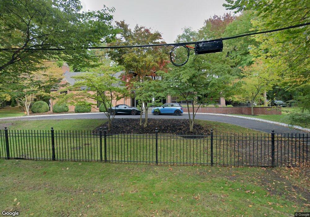
47 Beech Rd Englewood, NJ 07631
Estimated Value: $1,154,000 - $2,734,000
Studio
--
Bath
7,851
Sq Ft
$222/Sq Ft
Est. Value
About This Home
This home is located at 47 Beech Rd, Englewood, NJ 07631 and is currently estimated at $1,741,477, approximately $221 per square foot. 47 Beech Rd is a home located in Bergen County with nearby schools including Dr J Grieco Elementary School, Dr Mccloud Elementary School, and J.E. Dismus Middle School.
Ownership History
Date
Name
Owned For
Owner Type
Purchase Details
Closed on
Sep 30, 2016
Sold by
Powers Lawrence M and Powers Gladys
Bought by
Benigno Joseph and Katona Joseph Margaret M
Current Estimated Value
Home Financials for this Owner
Home Financials are based on the most recent Mortgage that was taken out on this home.
Original Mortgage
$1,050,000
Interest Rate
4.5%
Mortgage Type
New Conventional
Create a Home Valuation Report for This Property
The Home Valuation Report is an in-depth analysis detailing your home's value as well as a comparison with similar homes in the area
Home Values in the Area
Average Home Value in this Area
Purchase History
| Date | Buyer | Sale Price | Title Company |
|---|---|---|---|
| Benigno Joseph | $1,500,000 | Westcor Land Title Insurance | |
| Benigno Joseph | $1,400,000 | Westcor Land Title Insurance |
Source: Public Records
Mortgage History
| Date | Status | Borrower | Loan Amount |
|---|---|---|---|
| Previous Owner | Benigno Joseph | $1,050,000 | |
| Previous Owner | Benigno Joseph | $1,125,000 |
Source: Public Records
Tax History Compared to Growth
Tax History
| Year | Tax Paid | Tax Assessment Tax Assessment Total Assessment is a certain percentage of the fair market value that is determined by local assessors to be the total taxable value of land and additions on the property. | Land | Improvement |
|---|---|---|---|---|
| 2025 | $49,168 | $1,621,500 | $949,000 | $672,500 |
| 2024 | $47,680 | $1,600,000 | $949,000 | $651,000 |
| 2023 | $47,184 | $1,600,000 | $949,000 | $651,000 |
| 2022 | $47,184 | $1,600,000 | $949,000 | $651,000 |
| 2021 | $46,240 | $1,600,000 | $949,000 | $651,000 |
| 2020 | $50,670 | $1,800,000 | $949,000 | $851,000 |
| 2019 | $39,336 | $1,410,400 | $1,370,000 | $40,400 |
| 2018 | $38,391 | $1,410,400 | $1,370,000 | $40,400 |
| 2017 | $37,249 | $1,410,400 | $1,370,000 | $40,400 |
| 2016 | $36,064 | $1,410,400 | $1,370,000 | $40,400 |
| 2015 | $35,754 | $1,410,400 | $1,370,000 | $40,400 |
| 2014 | $35,457 | $1,410,400 | $1,370,000 | $40,400 |
Source: Public Records
Map
Nearby Homes
- 48 S Woodland St
- 394 E Palisade Ave
- 285 Maple St
- 292 Maple St
- 277 Walnut St
- 167 Maple St
- 200 Lincoln St
- 101 E Palisade Ave
- 100 E Palisade Ave Unit B22
- 100 E Palisade Ave Unit B51
- 100 E Palisade Ave Unit D12
- 100 E Palisade Ave Unit A24
- 100 E Palisade Ave Unit A51
- 80 Chester Place
- 2 Maple St
- 109 Grand Ave
- 109 Grand Ave Unit 4H
- 109 Grand Ave Unit 4A
- 109 Grand Ave Unit 1A
- 285 Arch Rd