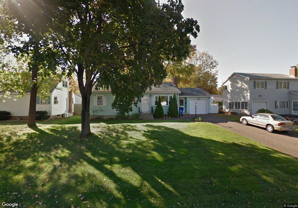
47 Booth Ave Wethersfield, CT 06109
Estimated Value: $324,000 - $358,000
3
Beds
2
Baths
1,120
Sq Ft
$308/Sq Ft
Est. Value
About This Home
This home is located at 47 Booth Ave, Wethersfield, CT 06109 and is currently estimated at $344,805, approximately $307 per square foot. 47 Booth Ave is a home located in Hartford County with nearby schools including Emerson-Williams School, Silas Deane Middle School, and Wethersfield High School.
Ownership History
Date
Name
Owned For
Owner Type
Purchase Details
Closed on
Apr 11, 2013
Sold by
Salgado Sergio M
Bought by
Salgado Sergio M and Salgsdo Heather A
Current Estimated Value
Purchase Details
Closed on
Mar 1, 2006
Sold by
Leonardi Michele and Leonardi Paula M
Bought by
Salgado Sergio M
Purchase Details
Closed on
Dec 30, 1993
Sold by
Federal Home Loan Mortgage Corporation
Bought by
Leonardi Michelle and Leonardi Paula M
Create a Home Valuation Report for This Property
The Home Valuation Report is an in-depth analysis detailing your home's value as well as a comparison with similar homes in the area
Home Values in the Area
Average Home Value in this Area
Purchase History
| Date | Buyer | Sale Price | Title Company |
|---|---|---|---|
| Salgado Sergio M | -- | -- | |
| Salgado Sergio M | $210,000 | -- | |
| Leonardi Michelle | $108,000 | -- |
Source: Public Records
Mortgage History
| Date | Status | Borrower | Loan Amount |
|---|---|---|---|
| Open | Leonardi Michelle | $53,300 | |
| Previous Owner | Leonardi Michelle | $25,000 |
Source: Public Records
Tax History
| Year | Tax Paid | Tax Assessment Tax Assessment Total Assessment is a certain percentage of the fair market value that is determined by local assessors to be the total taxable value of land and additions on the property. | Land | Improvement |
|---|---|---|---|---|
| 2025 | $8,544 | $207,280 | $69,260 | $138,020 |
| 2024 | $6,357 | $147,080 | $72,100 | $74,980 |
| 2023 | $6,145 | $147,080 | $72,100 | $74,980 |
| 2022 | $6,042 | $147,080 | $72,100 | $74,980 |
| 2021 | $5,982 | $147,080 | $72,100 | $74,980 |
| 2020 | $5,985 | $147,080 | $72,100 | $74,980 |
| 2019 | $5,992 | $147,080 | $72,100 | $74,980 |
| 2018 | $5,978 | $146,600 | $69,000 | $77,600 |
| 2017 | $5,830 | $146,600 | $69,000 | $77,600 |
| 2016 | $5,650 | $146,600 | $69,000 | $77,600 |
| 2015 | $5,599 | $146,600 | $69,000 | $77,600 |
| 2014 | $5,386 | $146,600 | $69,000 | $77,600 |
Source: Public Records
Map
Nearby Homes
- 1 Bristol St
- 249 Ridge Rd
- 19 Albert Ave
- 295 Ridge Rd Unit 8
- 1310 Berlin Turnpike Unit 223
- 192 Wolcott Hill Rd
- 90 Goodwin Park Rd
- 116 Wells Farm Dr
- 219 Jordan Ln Unit 221
- 173 Timber Trail
- 273 Forest Dr
- 20 Forest Dr
- 129 Goff Rd
- 35 Kingston St
- 704 Franklin Ave
- 18 Avalon Place
- 43 Yale St
- 39 Schoolhouse Crossing
- 208 Mountain St
- 87 Somerset St
Your Personal Tour Guide
Ask me questions while you tour the home.