47 Bourne Point Rd Wareham, MA 02571
Estimated Value: $697,000 - $1,865,357
3
Beds
2
Baths
1,708
Sq Ft
$745/Sq Ft
Est. Value
About This Home
This home is located at 47 Bourne Point Rd, Wareham, MA 02571 and is currently estimated at $1,272,786, approximately $745 per square foot. 47 Bourne Point Rd is a home located in Plymouth County.
Ownership History
Date
Name
Owned For
Owner Type
Purchase Details
Closed on
Sep 20, 2017
Sold by
Nelson John R and Davis Judith G
Bought by
John R Nelson Irt and Davis
Current Estimated Value
Purchase Details
Closed on
Mar 10, 2010
Sold by
Ruth G Nelson Ret and Nelson
Bought by
Nelson John R
Purchase Details
Closed on
Jul 26, 2002
Sold by
Nelson Ruth I
Bought by
Wanco Mgmt Inc
Create a Home Valuation Report for This Property
The Home Valuation Report is an in-depth analysis detailing your home's value as well as a comparison with similar homes in the area
Purchase History
| Date | Buyer | Sale Price | Title Company |
|---|---|---|---|
| John R Nelson Irt | -- | -- | |
| John R Nelson Irt | -- | -- | |
| Nelson John R | -- | -- | |
| Nelson John R | -- | -- | |
| Wanco Mgmt Inc | $159,000 | -- | |
| Wanco Mgmt Inc | $159,000 | -- |
Source: Public Records
Tax History
| Year | Tax Paid | Tax Assessment Tax Assessment Total Assessment is a certain percentage of the fair market value that is determined by local assessors to be the total taxable value of land and additions on the property. | Land | Improvement |
|---|---|---|---|---|
| 2025 | $17,612 | $1,690,200 | $1,171,800 | $518,400 |
| 2024 | $15,404 | $1,371,700 | $883,700 | $488,000 |
| 2023 | $14,754 | $1,238,100 | $803,700 | $434,400 |
| 2022 | $14,754 | $1,119,400 | $769,300 | $350,100 |
| 2021 | $14,849 | $1,104,000 | $769,300 | $334,700 |
| 2020 | $14,358 | $1,082,800 | $769,300 | $313,500 |
| 2019 | $17,188 | $1,293,300 | $1,016,400 | $276,900 |
| 2018 | $17,121 | $1,256,100 | $1,016,400 | $239,700 |
| 2017 | $16,648 | $1,237,800 | $1,016,400 | $221,400 |
| 2016 | $17,113 | $1,264,800 | $1,066,500 | $198,300 |
| 2015 | $17,580 | $1,345,100 | $1,146,800 | $198,300 |
| 2014 | $13,998 | $1,089,300 | $925,400 | $163,900 |
Source: Public Records
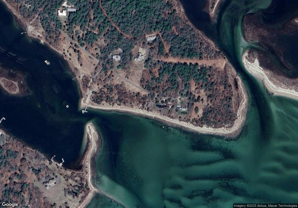
Map
Nearby Homes
- 10 Dowd Ave
- 65 Great Neck Rd
- 8 Over Jordan Rd
- 14 Over Jordan Rd
- 200 Great Neck Rd
- 0 Squaw's Path
- 6 Beacon St Unit 79
- 248 Great Neck Rd
- 7 Cranberry Ln
- 10 Beacon St Unit 83
- 276a Onset Ave
- 38 Amos Way
- 26 Highland Ave
- 1 Gibbs Ball Park Rd
- 391 Onset Ave
- 12 Beacon St Unit 84
- 10 East Blvd
- 10 East Blvd
- 124 Minot Ave Unit 1
- 10 Oak St
- 49 Bourne Point Rd
- 48 Bourne Point Rd
- 51 Bourne Point Rd
- 53 Bourne Point Rd
- 42 Bourne Point Rd
- 34 Bourne Point Rd
- 60 Warren Point Rd
- 30 Bourne Point Rd
- 31 Bourne Point Rd
- 0 Indian Neck
- 52 Warren Point Rd
- 29 Bourne Point Rd
- 30 Maritime Dr
- 30 Maritime Dr Unit 1
- 78 Martin St
- 28 Maritime Dr
- 48 Martin St
- 32 Martin St
- 29 Martin St
- 53 Warren Point Rd
Your Personal Tour Guide
Ask me questions while you tour the home.