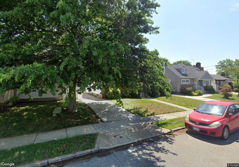
47 Branch Ave Freeport, NY 11520
Estimated Value: $573,000 - $658,205
4
Beds
2
Baths
1,800
Sq Ft
$342/Sq Ft
Est. Value
About This Home
This home is located at 47 Branch Ave, Freeport, NY 11520 and is currently estimated at $615,603, approximately $342 per square foot. 47 Branch Ave is a home located in Nassau County with nearby schools including Columbus Avenue School, Caroline G. Atkinson Intermediate School, and John W Dodd Middle School.
Ownership History
Date
Name
Owned For
Owner Type
Purchase Details
Closed on
Jun 9, 2022
Sold by
Fraser Osbourne and Fraser Claudian N
Bought by
Fraser Nicola and Osbourne Fraser Irrevocable Trust
Current Estimated Value
Purchase Details
Closed on
Mar 29, 2016
Sold by
Hunt Joy P
Bought by
Fraser Claudian N and Fraser Betsy Ann
Home Financials for this Owner
Home Financials are based on the most recent Mortgage that was taken out on this home.
Original Mortgage
$294,566
Interest Rate
4.4%
Mortgage Type
FHA
Purchase Details
Closed on
Feb 27, 2016
Sold by
Sheriff Of Nassau County
Bought by
Hunt Joy P and Hunt Patricia Joy
Home Financials for this Owner
Home Financials are based on the most recent Mortgage that was taken out on this home.
Original Mortgage
$294,566
Interest Rate
4.4%
Mortgage Type
FHA
Purchase Details
Closed on
Nov 8, 2009
Sold by
Hunt Joy P and Hunt Natasha R
Bought by
Hunt Joy P
Purchase Details
Closed on
Feb 28, 2006
Sold by
Hunt Joy
Create a Home Valuation Report for This Property
The Home Valuation Report is an in-depth analysis detailing your home's value as well as a comparison with similar homes in the area
Home Values in the Area
Average Home Value in this Area
Purchase History
| Date | Buyer | Sale Price | Title Company |
|---|---|---|---|
| Fraser Nicola | -- | None Available | |
| Fraser Claudian N | $300,000 | None Available | |
| Hunt Joy P | -- | None Available | |
| Hunt Joy P | -- | -- | |
| -- | -- | -- |
Source: Public Records
Mortgage History
| Date | Status | Borrower | Loan Amount |
|---|---|---|---|
| Previous Owner | Fraser Claudian N | $294,566 |
Source: Public Records
Tax History Compared to Growth
Tax History
| Year | Tax Paid | Tax Assessment Tax Assessment Total Assessment is a certain percentage of the fair market value that is determined by local assessors to be the total taxable value of land and additions on the property. | Land | Improvement |
|---|---|---|---|---|
| 2025 | $8,560 | $397 | $150 | $247 |
| 2024 | $906 | $397 | $150 | $247 |
| 2023 | $9,115 | $397 | $150 | $247 |
| 2022 | $9,115 | $397 | $150 | $247 |
| 2021 | $10,254 | $381 | $144 | $237 |
| 2020 | $10,243 | $696 | $441 | $255 |
| 2019 | $1,077 | $649 | $441 | $208 |
| 2018 | $1,115 | $649 | $0 | $0 |
| 2017 | $6,410 | $649 | $441 | $208 |
| 2016 | $7,384 | $649 | $441 | $208 |
| 2015 | $531 | $649 | $441 | $208 |
| 2014 | $531 | $649 | $441 | $208 |
| 2013 | $511 | $649 | $441 | $208 |
Source: Public Records
Map
Nearby Homes
- 48 Saint Marks Ave
- 173 Cedar St
- 437 Ray St
- 119 S Bay Ave
- 16 Johnson Place
- 31 Casino St Unit PH
- 153 Westend Ave
- 171 Westside Ave
- 159 Branch Ave
- 116 Westend Ave Unit 21
- 116 Westend Ave Unit 8
- 531 Ray St Unit 10
- 587 S Bayview Ave
- 214 Westend Ave Unit 6c
- 210 Westend Ave Unit 8B
- 310 Miller Ave
- 47 Anchor St Unit Y
- 77 Hampton Place
- 226 Westside Ave Unit B
- 8 Florence Ave Unit 16C
- 43 Branch Ave
- 51 Branch Ave
- 86 Saint Marks Ave
- 39 Branch Ave
- 82 Saint Marks Ave
- 55 Branch Ave
- 86 St Marks Ave
- 90 Saint Marks Ave
- 78 Saint Marks Ave
- 35 Branch Ave
- 48 Branch Ave
- 94 Saint Marks Ave
- 44 Branch Ave
- 52 Branch Ave
- 74 Saint Marks Ave
- 40 Branch Ave
- 214 Cedar St
- 40 Branch Ave
- 56 Branch Ave
- 31 Branch Ave