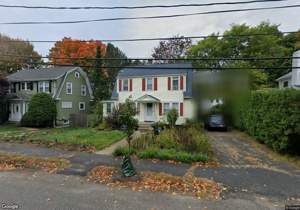
47 Brookdale Rd Newtonville, MA 02460
Nonantum NeighborhoodEstimated Value: $1,114,000 - $1,207,000
3
Beds
2
Baths
1,496
Sq Ft
$781/Sq Ft
Est. Value
About This Home
This home is located at 47 Brookdale Rd, Newtonville, MA 02460 and is currently estimated at $1,168,285, approximately $780 per square foot. 47 Brookdale Rd is a home located in Middlesex County with nearby schools including Horace Mann Elementary School, F.A. Day Middle School, and Newton North High School.
Ownership History
Date
Name
Owned For
Owner Type
Purchase Details
Closed on
Nov 19, 2003
Sold by
Kendig Loretta A
Bought by
Cullere Mollie H Ullman and Luengo Francisco Culle
Current Estimated Value
Home Financials for this Owner
Home Financials are based on the most recent Mortgage that was taken out on this home.
Original Mortgage
$396,000
Outstanding Balance
$183,331
Interest Rate
5.98%
Mortgage Type
Purchase Money Mortgage
Estimated Equity
$984,954
Create a Home Valuation Report for This Property
The Home Valuation Report is an in-depth analysis detailing your home's value as well as a comparison with similar homes in the area
Home Values in the Area
Average Home Value in this Area
Purchase History
| Date | Buyer | Sale Price | Title Company |
|---|---|---|---|
| Cullere Mollie H Ullman | $495,000 | -- |
Source: Public Records
Mortgage History
| Date | Status | Borrower | Loan Amount |
|---|---|---|---|
| Open | Cullere Mollie H Ullman | $396,000 |
Source: Public Records
Tax History Compared to Growth
Tax History
| Year | Tax Paid | Tax Assessment Tax Assessment Total Assessment is a certain percentage of the fair market value that is determined by local assessors to be the total taxable value of land and additions on the property. | Land | Improvement |
|---|---|---|---|---|
| 2025 | $9,195 | $938,300 | $812,600 | $125,700 |
| 2024 | $8,891 | $911,000 | $788,900 | $122,100 |
| 2023 | $8,393 | $824,500 | $597,300 | $227,200 |
| 2022 | $8,031 | $763,400 | $553,100 | $210,300 |
| 2021 | $7,749 | $720,200 | $521,800 | $198,400 |
| 2020 | $7,519 | $720,200 | $521,800 | $198,400 |
| 2019 | $7,307 | $699,200 | $506,600 | $192,600 |
| 2018 | $6,897 | $637,400 | $458,700 | $178,700 |
| 2017 | $6,686 | $601,300 | $432,700 | $168,600 |
| 2016 | $6,396 | $562,000 | $404,400 | $157,600 |
| 2015 | $6,098 | $525,200 | $377,900 | $147,300 |
Source: Public Records
Map
Nearby Homes
- 33 Joseph Rd
- 97 North St
- 581 California St
- 1 Farwell Cir
- 299 Albemarle Rd
- 57 Walnut St
- 354 Linwood Ave Unit 1
- 76 Harding St
- 15 Edinboro Terrace
- 251 Waltham St
- 61 Broadway St
- 611 Watertown St Unit 14
- 40 Fairway Dr
- 286 Nevada St Unit 286
- 282 Nevada St Unit 282
- 3 Annapolis Rd
- 4 Repton Cir Unit 4410
- 3 Repton Cir Unit 3401
- 43 Walker St
- 75 Cherry St
- 43 Brookdale Rd
- 53 Brookdale Rd
- 138 Albemarle Rd
- 132 Albemarle Rd
- 35 Brookdale Rd
- 29 North St
- 146 Albemarle Rd
- 126 Albemarle Rd
- 48 Brookdale Rd
- 42 Brookdale Rd
- 31 Brookdale Rd
- 38 Brookdale Rd
- 56 Brookdale Rd
- 56 Brookdale Rd Unit 1
- 122 Albemarle Rd
- 30 North St
- 114 Albemarle Rd
- 30 Fessenden St
- 11 North St
- 28 Brookdale Rd