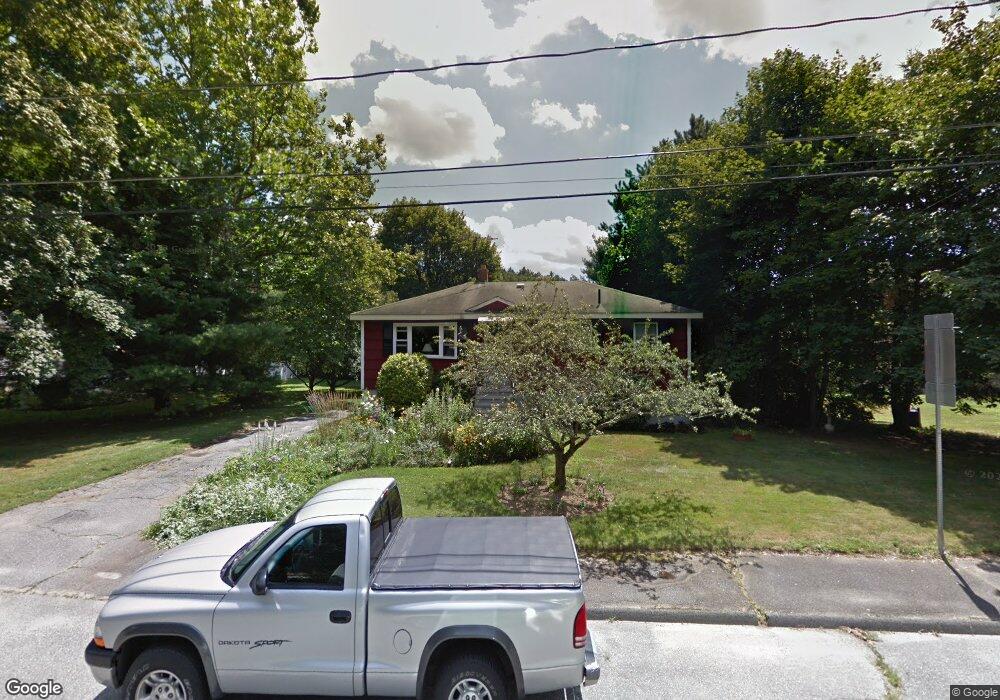
47 Burns Rd Marlborough, MA 01752
Estimated Value: $508,766 - $551,000
3
Beds
1
Bath
960
Sq Ft
$553/Sq Ft
Est. Value
About This Home
This home is located at 47 Burns Rd, Marlborough, MA 01752 and is currently estimated at $530,692, approximately $552 per square foot. 47 Burns Rd is a home located in Middlesex County with nearby schools including Marlborough High School, Advanced Math & Science Academy, and St. Bernadette School.
Create a Home Valuation Report for This Property
The Home Valuation Report is an in-depth analysis detailing your home's value as well as a comparison with similar homes in the area
Home Values in the Area
Average Home Value in this Area
Tax History Compared to Growth
Tax History
| Year | Tax Paid | Tax Assessment Tax Assessment Total Assessment is a certain percentage of the fair market value that is determined by local assessors to be the total taxable value of land and additions on the property. | Land | Improvement |
|---|---|---|---|---|
| 2025 | $4,061 | $411,900 | $235,000 | $176,900 |
| 2024 | $4,077 | $398,100 | $213,600 | $184,500 |
| 2023 | $4,431 | $384,000 | $173,300 | $210,700 |
| 2022 | $4,355 | $331,900 | $165,000 | $166,900 |
| 2021 | $4,304 | $311,900 | $137,500 | $174,400 |
| 2020 | $4,258 | $300,300 | $130,900 | $169,400 |
| 2019 | $4,170 | $296,400 | $128,300 | $168,100 |
| 2018 | $3,817 | $260,900 | $105,900 | $155,000 |
| 2017 | $3,485 | $227,500 | $104,100 | $123,400 |
| 2016 | $3,272 | $213,300 | $104,100 | $109,200 |
| 2015 | $3,302 | $209,500 | $112,200 | $97,300 |
Source: Public Records
Map
Nearby Homes
- 55 Hurley Cir
- 72 Foley Rd
- 28 Sandini Rd
- 10 Masciarelli Dr
- 5 Damico Dr
- 0 Dudley St
- 120 Airport Blvd
- 115 Winter St
- 280 Elm St Unit A6
- 149 Clover Hill St
- 30A Winter Ave
- 76 Broad St
- 206 Millham St
- 30 Broad St Unit 104
- 28 Broad St Unit 203
- 287 Elm St
- 237 Millham St
- 156 Chestnut St
- 38 Gleason Street Extension
- 11 Fuller Dr