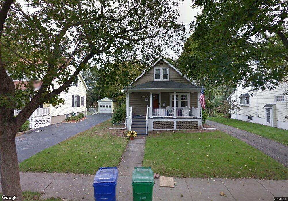
47 Carl St Newton, MA 02461
Newton Highlands NeighborhoodEstimated Value: $911,839 - $1,023,000
3
Beds
1
Bath
1,065
Sq Ft
$915/Sq Ft
Est. Value
About This Home
This home is located at 47 Carl St, Newton, MA 02461 and is currently estimated at $974,960, approximately $915 per square foot. 47 Carl St is a home located in Middlesex County with nearby schools including Countryside Elementary School, Charles E Brown Middle School, and Newton South High School.
Ownership History
Date
Name
Owned For
Owner Type
Purchase Details
Closed on
Sep 16, 2016
Sold by
Dejohn Matthew H and Dejohn Molly M
Bought by
Marks Marianne
Current Estimated Value
Home Financials for this Owner
Home Financials are based on the most recent Mortgage that was taken out on this home.
Original Mortgage
$370,000
Outstanding Balance
$295,542
Interest Rate
3.43%
Mortgage Type
New Conventional
Estimated Equity
$679,418
Purchase Details
Closed on
Jun 16, 2010
Sold by
Walsh Lenore A and Walsh Mildred P
Bought by
Dejohn Matthew H and Dejohn Molly M
Home Financials for this Owner
Home Financials are based on the most recent Mortgage that was taken out on this home.
Original Mortgage
$365,750
Interest Rate
5.03%
Mortgage Type
Purchase Money Mortgage
Create a Home Valuation Report for This Property
The Home Valuation Report is an in-depth analysis detailing your home's value as well as a comparison with similar homes in the area
Home Values in the Area
Average Home Value in this Area
Purchase History
| Date | Buyer | Sale Price | Title Company |
|---|---|---|---|
| Marks Marianne | $645,000 | -- | |
| Dejohn Matthew H | $385,000 | -- |
Source: Public Records
Mortgage History
| Date | Status | Borrower | Loan Amount |
|---|---|---|---|
| Open | Marks Marianne | $370,000 | |
| Previous Owner | Dejohn Matthew H | $365,750 |
Source: Public Records
Tax History Compared to Growth
Tax History
| Year | Tax Paid | Tax Assessment Tax Assessment Total Assessment is a certain percentage of the fair market value that is determined by local assessors to be the total taxable value of land and additions on the property. | Land | Improvement |
|---|---|---|---|---|
| 2025 | $6,882 | $702,200 | $0 | $0 |
| 2024 | $6,653 | $0 | $0 | $0 |
| 2023 | $6,289 | $617,800 | $593,000 | $24,800 |
| 2022 | $6,017 | $572,000 | $549,100 | $22,900 |
| 2021 | $5,806 | $539,600 | $518,000 | $21,600 |
| 2020 | $5,633 | $539,600 | $518,000 | $21,600 |
| 2019 | $5,475 | $523,900 | $502,900 | $21,000 |
| 2018 | $5,167 | $477,500 | $453,300 | $24,200 |
| 2017 | $4,755 | $427,600 | $0 | $0 |
| 2016 | $4,547 | $399,600 | $0 | $0 |
| 2015 | $4,336 | $373,500 | $373,400 | $100 |
Source: Public Records
Map
Nearby Homes
- 51 Carl St
- 128 Charlemont St
- 36 Roland St
- 183 Oak St Unit 307
- 183 Oak St Unit 205
- 15 Buff Cir
- 116 Upland Ave
- 36 Cannon St
- 415 Dedham St Unit D
- 1 Williams Ct
- 66 Linden St
- 250 Woodcliff Rd
- 12 Shawmut Park
- 18-20 Pennsylvania Ave Unit 18
- 20 Pennsylvania Ave
- 20 Pennsylvania Ave Unit 20
- 27 Indiana Terrace Unit 29
- 300 Elliot St Unit 300
- 302 Elliot St Carriage House N Unit 3
- 304 Elliot St Carriage House S Unit 4