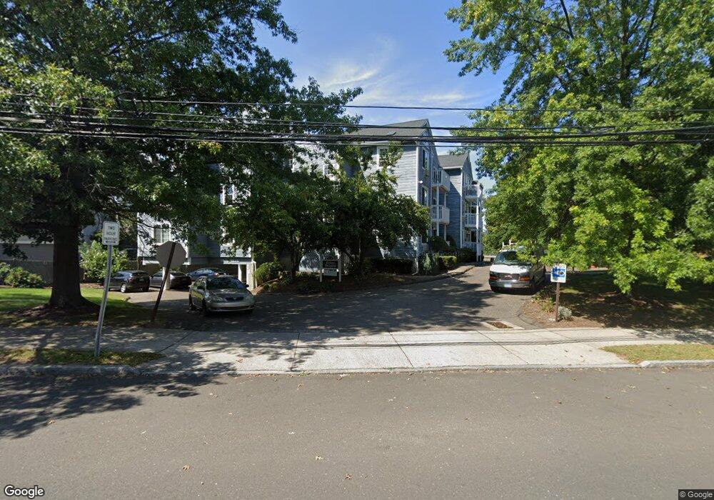
47 Cedar St Unit 21 Norwalk, CT 06854
Brookside NeighborhoodEstimated Value: $306,308 - $336,000
2
Beds
1
Bath
908
Sq Ft
$346/Sq Ft
Est. Value
About This Home
This home is located at 47 Cedar St Unit 21, Norwalk, CT 06854 and is currently estimated at $314,577, approximately $346 per square foot. 47 Cedar St Unit 21 is a home located in Fairfield County with nearby schools including Jefferson Marine Science Elementary School, Ponus Ridge Middle School, and Brien Mcmahon High School.
Ownership History
Date
Name
Owned For
Owner Type
Purchase Details
Closed on
Nov 19, 2007
Sold by
Yuille Melissa
Bought by
Bonilla Carlos A and Galindo Fernanda
Current Estimated Value
Home Financials for this Owner
Home Financials are based on the most recent Mortgage that was taken out on this home.
Original Mortgage
$224,000
Outstanding Balance
$134,510
Interest Rate
5.5%
Estimated Equity
$180,067
Purchase Details
Closed on
Oct 28, 2004
Sold by
Fwl Prop Llc
Bought by
Yuille Melissa
Create a Home Valuation Report for This Property
The Home Valuation Report is an in-depth analysis detailing your home's value as well as a comparison with similar homes in the area
Home Values in the Area
Average Home Value in this Area
Purchase History
| Date | Buyer | Sale Price | Title Company |
|---|---|---|---|
| Bonilla Carlos A | $280,000 | -- | |
| Bonilla Carlos A | $280,000 | -- | |
| Yuille Melissa | $269,900 | -- | |
| Yuille Melissa | $269,900 | -- |
Source: Public Records
Mortgage History
| Date | Status | Borrower | Loan Amount |
|---|---|---|---|
| Open | Yuille Melissa | $224,000 | |
| Closed | Yuille Melissa | $27,980 | |
| Closed | Yuille Melissa | $224,000 | |
| Previous Owner | Yuille Melissa | $15,000 |
Source: Public Records
Tax History
| Year | Tax Paid | Tax Assessment Tax Assessment Total Assessment is a certain percentage of the fair market value that is determined by local assessors to be the total taxable value of land and additions on the property. | Land | Improvement |
|---|---|---|---|---|
| 2025 | $3,725 | $157,220 | $0 | $157,220 |
| 2024 | $3,668 | $157,220 | $0 | $157,220 |
| 2023 | $3,139 | $126,110 | $0 | $126,110 |
| 2022 | $3,080 | $126,110 | $0 | $126,110 |
| 2021 | $2,637 | $126,110 | $0 | $126,110 |
| 2020 | $2,967 | $126,110 | $0 | $126,110 |
| 2019 | $2,933 | $126,110 | $0 | $126,110 |
| 2018 | $3,584 | $138,510 | $0 | $138,510 |
| 2017 | $3,457 | $138,510 | $0 | $138,510 |
| 2016 | $3,524 | $138,510 | $0 | $138,510 |
| 2015 | $3,165 | $138,510 | $0 | $138,510 |
| 2014 | $3,468 | $138,510 | $0 | $138,510 |
Source: Public Records
Map
Nearby Homes
- 14 Ferris Ave Unit 9
- 9 Frost St
- 22 Doctor Martin Luther King Junior Dr Unit B1
- 33 Glenwood Ave Unit 1
- 34 Ferris Ave Unit A2
- 32 Pine St Unit 27
- 115 Flax Hill Rd Unit 10
- 8 Elmcrest Terrace Unit 103
- 8 Elmcrest Terrace Unit 100
- 8 Crown Ave
- 47 Taylor Ave
- 33 N Water St Unit 505
- 33 N Water St Unit 804
- 6 W Couch St
- 187 Flax Hill Rd Unit D5
- 6 Norton Place
- 83 Washington St Unit 3C
- 10 Keith St
- 94 Washington St Unit 6
- 94 Washington St Unit 20
- 47 Cedar St Unit 9
- 47 Cedar St Unit 8
- 47 Cedar St Unit 7
- 47 Cedar St Unit 6
- 47 Cedar St Unit 5
- 47 Cedar St Unit 4
- 47 Cedar St Unit 3
- 47 Cedar St Unit 21
- 47 Cedar St Unit 20
- 47 Cedar St Unit 2
- 47 Cedar St Unit 18
- 47 Cedar St Unit 17
- 47 Cedar St Unit 16
- 47 Cedar St Unit 15
- 47 Cedar St Unit 14
- 47 Cedar St Unit 13
- 47 Cedar St Unit 12
- 47 Cedar St Unit 11
- 47 Cedar St Unit 10
- 75 Fairfield Ave Unit 6
Your Personal Tour Guide
Ask me questions while you tour the home.