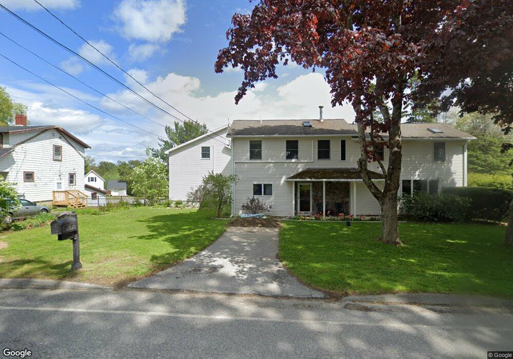
47 Central St Bucksport, ME 04416
Estimated Value: $254,000 - $393,000
4
Beds
4
Baths
3,498
Sq Ft
$94/Sq Ft
Est. Value
About This Home
This home is located at 47 Central St, Bucksport, ME 04416 and is currently estimated at $329,333, approximately $94 per square foot. 47 Central St is a home with nearby schools including G. Herbert Jewett School, Miles Lane School, and Bucksport Middle School.
Ownership History
Date
Name
Owned For
Owner Type
Purchase Details
Closed on
Feb 6, 2020
Sold by
Parker Lisa M
Bought by
Parker Keith L and Parker Lisa M
Current Estimated Value
Home Financials for this Owner
Home Financials are based on the most recent Mortgage that was taken out on this home.
Original Mortgage
$13,500
Outstanding Balance
$11,854
Interest Rate
3.72%
Mortgage Type
New Conventional
Estimated Equity
$317,479
Create a Home Valuation Report for This Property
The Home Valuation Report is an in-depth analysis detailing your home's value as well as a comparison with similar homes in the area
Home Values in the Area
Average Home Value in this Area
Purchase History
| Date | Buyer | Sale Price | Title Company |
|---|---|---|---|
| Parker Keith L | -- | None Available | |
| Parker Keith L | -- | None Available | |
| Parker Keith L | -- | None Available |
Source: Public Records
Mortgage History
| Date | Status | Borrower | Loan Amount |
|---|---|---|---|
| Open | Parker Keith L | $13,500 | |
| Closed | Parker Keith L | $13,500 |
Source: Public Records
Tax History
| Year | Tax Paid | Tax Assessment Tax Assessment Total Assessment is a certain percentage of the fair market value that is determined by local assessors to be the total taxable value of land and additions on the property. | Land | Improvement |
|---|---|---|---|---|
| 2025 | $7,356 | $474,600 | $41,320 | $433,280 |
| 2024 | $5,354 | $404,060 | $41,320 | $362,740 |
| 2023 | $5,152 | $404,060 | $41,320 | $362,740 |
| 2022 | $4,089 | $241,260 | $36,440 | $204,820 |
| 2021 | $3,920 | $241,260 | $36,440 | $204,820 |
| 2020 | $3,920 | $241,260 | $36,440 | $204,820 |
| 2019 | $3,933 | $241,260 | $36,440 | $204,820 |
| 2018 | $3,607 | $241,260 | $36,440 | $204,820 |
| 2017 | $3,907 | $238,230 | $30,660 | $207,570 |
| 2016 | $3,873 | $234,740 | $35,260 | $199,480 |
| 2015 | $4,001 | $234,000 | $35,000 | $199,000 |
| 2014 | $3,312 | $234,736 | $35,259 | $199,477 |
| 2013 | $3,183 | $234,740 | $35,260 | $199,480 |
Source: Public Records
Map
Nearby Homes
- 21 Federal St
- 52 Mechanic St
- 13 Buck St
- 105 Main St
- 29 Oak St
- 3 Main St
- 269 E Side Dr
- 53-04 Race Course Rd
- 53-03 Race Course Rd
- 195 River Rd
- 115 Gross Point Rd
- 54 Gross Point Rd
- 00 Switzer Spring Rd
- 141 Gross Point Rd Unit 1
- 141 Gross Point Rd
- 141 Gross Point Rd Unit Waterfront
- 30 Katahdin Dr
- 55 W Side Dr
- 150 Bowden Point Rd
- 259 Bowden Point Rd
Your Personal Tour Guide
Ask me questions while you tour the home.