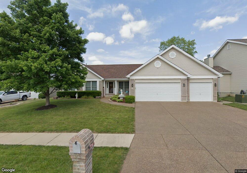
47 Chaunston Ct Saint Peters, MO 63376
Estimated Value: $422,843 - $497,000
3
Beds
2
Baths
1,984
Sq Ft
$231/Sq Ft
Est. Value
About This Home
This home is located at 47 Chaunston Ct, Saint Peters, MO 63376 and is currently estimated at $458,961, approximately $231 per square foot. 47 Chaunston Ct is a home located in St. Charles County with nearby schools including Emge Elementary School, Fort Zumwalt South Middle School, and Fort Zumwalt South High School.
Ownership History
Date
Name
Owned For
Owner Type
Purchase Details
Closed on
Jan 19, 2024
Sold by
Norwood Robin L and Norwood Steve R
Bought by
Steve And Robin Norwood Living Trust and Norwood
Current Estimated Value
Purchase Details
Closed on
Aug 22, 2003
Sold by
Tom Johnson Construction Co Inc
Bought by
Norwood Steve R and Norwood Robin L
Home Financials for this Owner
Home Financials are based on the most recent Mortgage that was taken out on this home.
Original Mortgage
$159,000
Interest Rate
6.08%
Mortgage Type
Purchase Money Mortgage
Create a Home Valuation Report for This Property
The Home Valuation Report is an in-depth analysis detailing your home's value as well as a comparison with similar homes in the area
Home Values in the Area
Average Home Value in this Area
Purchase History
| Date | Buyer | Sale Price | Title Company |
|---|---|---|---|
| Steve And Robin Norwood Living Trust | -- | None Listed On Document | |
| Norwood Steve R | $220,255 | -- |
Source: Public Records
Mortgage History
| Date | Status | Borrower | Loan Amount |
|---|---|---|---|
| Previous Owner | Norwood Steve R | $159,000 |
Source: Public Records
Tax History
| Year | Tax Paid | Tax Assessment Tax Assessment Total Assessment is a certain percentage of the fair market value that is determined by local assessors to be the total taxable value of land and additions on the property. | Land | Improvement |
|---|---|---|---|---|
| 2025 | $4,763 | $78,046 | -- | -- |
| 2023 | $4,765 | $72,141 | $0 | $0 |
| 2022 | $4,603 | $64,867 | $0 | $0 |
| 2021 | $4,607 | $64,867 | $0 | $0 |
| 2020 | $4,495 | $61,266 | $0 | $0 |
| 2019 | $4,505 | $61,266 | $0 | $0 |
| 2018 | $4,141 | $53,747 | $0 | $0 |
| 2017 | $4,095 | $53,747 | $0 | $0 |
| 2016 | $3,586 | $46,869 | $0 | $0 |
| 2015 | $3,334 | $46,869 | $0 | $0 |
| 2014 | $3,307 | $45,716 | $0 | $0 |
Source: Public Records
Map
Nearby Homes
- 178 Christina Marie Dr
- 67 Simeon Ct
- 249 Dardenne Farms Dr
- 26 Dalton Valley Dr
- 3 Royallbend Ct
- 367 Shamrock St
- 361 Shamrock St
- 2726 Brook Meadow Ln
- 661 Clifton Hill Dr
- 93 Arapahoe Basin Ct
- 2628 Breckenridge Cir
- 14 Sea Pines Ct
- 2 the Durango at the Grove
- 83 Foxgate Ct
- 2136 Farnsworth Dr Unit D
- 516 Sunward Dr
- 44 Pheasant Ring Dr
- 2402 Brookfield Ln
- 604 Sunward Dr
- 15 Canter Ct
- 45 Chaunston Ct
- 49 Chaunston Ct
- 1444 Loganberry Dr
- 43 Chaunston Ct
- 1448 Loganberry Dr
- 46 Chaunston Ct
- 51 Chaunston Ct
- 44 Chaunston Ct
- 48 Chaunston Ct
- 1440 Loganberry Dr
- 42 Chaunston Ct
- 41 Chaunston Ct
- 50 Chaunston Ct
- 1449 Loganberry Dr
- 1438 Loganberry Dr
- 15 Avondale Spring Ct
- 40 Chaunston Ct
- 17 Avondale Spring Ct
- 11 Avondale Spring Ct
- 19 Avondale Spring Ct
Your Personal Tour Guide
Ask me questions while you tour the home.