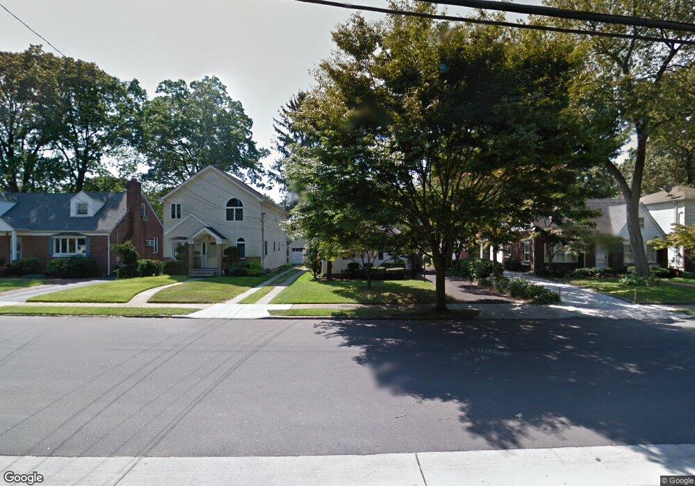
47 Chestnut St Malverne, NY 11565
Estimated Value: $543,065 - $571,000
1
Bed
1
Bath
894
Sq Ft
$623/Sq Ft
Est. Value
About This Home
This home is located at 47 Chestnut St, Malverne, NY 11565 and is currently estimated at $557,033, approximately $623 per square foot. 47 Chestnut St is a home located in Nassau County with nearby schools including Grace Lutheran School, Our Lady of Lourdes School, and Cheder at the Ohel.
Ownership History
Date
Name
Owned For
Owner Type
Purchase Details
Closed on
Jan 29, 2016
Sold by
Fredericks Mary T
Bought by
Rogulski Pawel and Rogulski Anna Marzena
Current Estimated Value
Home Financials for this Owner
Home Financials are based on the most recent Mortgage that was taken out on this home.
Original Mortgage
$224,000
Interest Rate
4.02%
Mortgage Type
New Conventional
Purchase Details
Closed on
Aug 17, 2015
Sold by
Fredericks Harold J and Fredericks Mary T
Bought by
Fredericks Mary T
Purchase Details
Closed on
Nov 5, 1996
Sold by
Smith Lawrence C
Bought by
Fredericks Harold J and Kushner-Fredericks Mary T
Create a Home Valuation Report for This Property
The Home Valuation Report is an in-depth analysis detailing your home's value as well as a comparison with similar homes in the area
Home Values in the Area
Average Home Value in this Area
Purchase History
| Date | Buyer | Sale Price | Title Company |
|---|---|---|---|
| Rogulski Pawel | $280,000 | None Available | |
| Fredericks Mary T | -- | Commonwealth Land Title | |
| Fredericks Harold J | $145,000 | -- |
Source: Public Records
Mortgage History
| Date | Status | Borrower | Loan Amount |
|---|---|---|---|
| Previous Owner | Rogulski Pawel | $224,000 |
Source: Public Records
Tax History Compared to Growth
Tax History
| Year | Tax Paid | Tax Assessment Tax Assessment Total Assessment is a certain percentage of the fair market value that is determined by local assessors to be the total taxable value of land and additions on the property. | Land | Improvement |
|---|---|---|---|---|
| 2025 | $6,616 | $373 | $165 | $208 |
| 2024 | $810 | $380 | $168 | $212 |
| 2023 | $6,405 | $393 | $173 | $220 |
| 2022 | $6,405 | $380 | $168 | $212 |
| 2021 | $8,462 | $397 | $175 | $222 |
| 2020 | $6,513 | $461 | $422 | $39 |
| 2019 | $6,059 | $420 | $419 | $1 |
| 2018 | $5,211 | $461 | $0 | $0 |
| 2017 | $1,534 | $461 | $452 | $9 |
| 2016 | $2,060 | $488 | $431 | $57 |
| 2015 | $511 | $515 | $455 | $60 |
| 2014 | $511 | $515 | $455 | $60 |
| 2013 | $484 | $542 | $479 | $63 |
Source: Public Records
Map
Nearby Homes
- 163 Scarcliffe Dr
- 136 Scarcliffe Dr
- 53 Maple St
- 10 Linden St
- 56 Adair Ct
- 52 Legion Place
- 2 Derby Ct
- 487 Emerson Place
- 133 Nassau Ave
- 114 Nassau Ave
- 818 Palmetto Dr
- 35 Roosevelt Ave
- 100 Nassau Ave
- 807 Cypress Dr
- 12 Roosevelt Ave
- 81 Cedarlawn Blvd
- 70 Morris Ave
- 57 Remson St
- 34 Saint Thomas Place
- 859 Franklin Ave