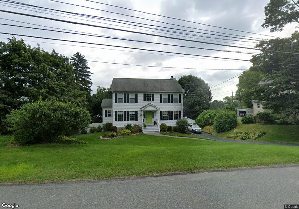
47 Condit St Newton, NJ 07860
Estimated Value: $485,000 - $577,205
--
Bed
--
Bath
2,272
Sq Ft
$232/Sq Ft
Est. Value
About This Home
This home is located at 47 Condit St, Newton, NJ 07860 and is currently estimated at $527,301, approximately $232 per square foot. 47 Condit St is a home located in Sussex County with nearby schools including Merriam Avenue School, Halsted Street Middle School, and Newton High School.
Ownership History
Date
Name
Owned For
Owner Type
Purchase Details
Closed on
Nov 4, 2004
Sold by
Stickles Edward H and Stickles Debra A
Bought by
Post Gary M and Post Debra L
Current Estimated Value
Home Financials for this Owner
Home Financials are based on the most recent Mortgage that was taken out on this home.
Original Mortgage
$215,000
Outstanding Balance
$107,078
Interest Rate
5.75%
Mortgage Type
Purchase Money Mortgage
Estimated Equity
$420,223
Purchase Details
Closed on
May 2, 2000
Sold by
Schneider Bennett Development Co Llc
Bought by
Stickles Edward H and Stickles Debra A
Home Financials for this Owner
Home Financials are based on the most recent Mortgage that was taken out on this home.
Original Mortgage
$164,000
Interest Rate
7.87%
Create a Home Valuation Report for This Property
The Home Valuation Report is an in-depth analysis detailing your home's value as well as a comparison with similar homes in the area
Home Values in the Area
Average Home Value in this Area
Purchase History
| Date | Buyer | Sale Price | Title Company |
|---|---|---|---|
| Post Gary M | $349,950 | -- | |
| Stickles Edward H | $205,000 | Lawyers Title Insurance Corp |
Source: Public Records
Mortgage History
| Date | Status | Borrower | Loan Amount |
|---|---|---|---|
| Open | Post Gary M | $215,000 | |
| Previous Owner | Stickles Edward H | $164,000 |
Source: Public Records
Tax History Compared to Growth
Tax History
| Year | Tax Paid | Tax Assessment Tax Assessment Total Assessment is a certain percentage of the fair market value that is determined by local assessors to be the total taxable value of land and additions on the property. | Land | Improvement |
|---|---|---|---|---|
| 2025 | $13,327 | $495,500 | $110,600 | $384,900 |
| 2024 | $12,511 | $488,700 | $97,200 | $391,500 |
| 2023 | $12,511 | $278,400 | $72,200 | $206,200 |
| 2022 | $12,561 | $278,400 | $72,200 | $206,200 |
| 2021 | $12,506 | $278,400 | $72,200 | $206,200 |
| 2020 | $12,314 | $278,400 | $72,200 | $206,200 |
| 2019 | $11,932 | $278,400 | $72,200 | $206,200 |
| 2018 | $11,868 | $278,400 | $72,200 | $206,200 |
| 2017 | $11,799 | $278,400 | $72,200 | $206,200 |
| 2016 | $11,609 | $278,400 | $72,200 | $206,200 |
| 2015 | $11,303 | $278,400 | $72,200 | $206,200 |
| 2014 | $11,069 | $278,400 | $72,200 | $206,200 |
Source: Public Records
Map
Nearby Homes
- 67 Ryerson Ave
- 21 Carriage Ln Unit 21
- 40 Carriage Ln Unit 40
- 76 Carriage Ln Unit 76
- 0 W Nelson St
- 5 Babbitt Ct
- 37 Foster St
- 103 Woodside Ave
- 9 Lawnwood Ave
- 5 Clarkson St
- 13 Summit Ave
- 36 Paterson Ave
- 219 Woodside Ave
- 63 Merriam Ave
- 22 Woodside Ave
- 14 Trenton Place
- 46 Orchard St Unit 2
- 46 Pine St
- 66 Paterson Ave
- 5 Jefferson St