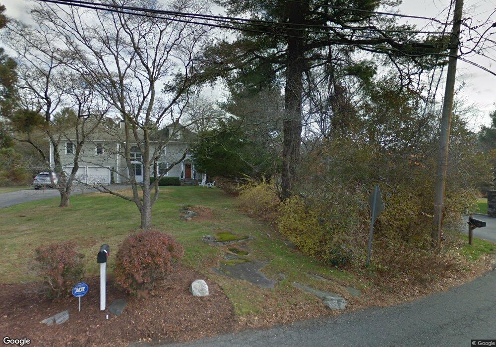
47 Crescent Rd Westport, CT 06880
Staples NeighborhoodEstimated Value: $1,578,000 - $2,409,000
4
Beds
4
Baths
3,594
Sq Ft
$582/Sq Ft
Est. Value
About This Home
This home is located at 47 Crescent Rd, Westport, CT 06880 and is currently estimated at $2,090,628, approximately $581 per square foot. 47 Crescent Rd is a home located in Fairfield County with nearby schools including Saugatuck Elementary School, Bedford Middle School, and Staples High School.
Ownership History
Date
Name
Owned For
Owner Type
Purchase Details
Closed on
Jun 3, 2004
Sold by
Flanagan James F and Flanagan Paulette L
Bought by
Marchak John and Ambrosino Lucy
Current Estimated Value
Purchase Details
Closed on
Aug 20, 2002
Sold by
Russo Kenneth and Russo Paula
Bought by
Flanagan James F and Flanagan Paulette L
Purchase Details
Closed on
Dec 8, 1989
Sold by
Biafore Gary
Bought by
Russo Kenneth
Create a Home Valuation Report for This Property
The Home Valuation Report is an in-depth analysis detailing your home's value as well as a comparison with similar homes in the area
Home Values in the Area
Average Home Value in this Area
Purchase History
| Date | Buyer | Sale Price | Title Company |
|---|---|---|---|
| Marchak John | $1,139,000 | -- | |
| Marchak John | $1,139,000 | -- | |
| Flanagan James F | $985,000 | -- | |
| Flanagan James F | $985,000 | -- | |
| Russo Kenneth | $568,500 | -- |
Source: Public Records
Mortgage History
| Date | Status | Borrower | Loan Amount |
|---|---|---|---|
| Open | Russo Kenneth | $770,000 | |
| Closed | Russo Kenneth | $795,000 |
Source: Public Records
Tax History
| Year | Tax Paid | Tax Assessment Tax Assessment Total Assessment is a certain percentage of the fair market value that is determined by local assessors to be the total taxable value of land and additions on the property. | Land | Improvement |
|---|---|---|---|---|
| 2025 | $14,377 | $762,300 | $288,800 | $473,500 |
| 2024 | $14,194 | $762,300 | $288,800 | $473,500 |
| 2023 | $13,988 | $762,300 | $288,800 | $473,500 |
| 2022 | $13,775 | $762,300 | $288,800 | $473,500 |
| 2021 | $7,921 | $762,300 | $288,800 | $473,500 |
| 2020 | $13,084 | $834,100 | $304,400 | $529,700 |
| 2019 | $14,063 | $834,100 | $304,400 | $529,700 |
| 2018 | $7,595 | $834,100 | $304,400 | $529,700 |
| 2017 | $14,063 | $834,100 | $304,400 | $529,700 |
| 2016 | $14,063 | $834,100 | $304,400 | $529,700 |
| 2015 | $14,420 | $797,100 | $258,800 | $538,300 |
| 2014 | $14,300 | $797,100 | $258,800 | $538,300 |
Source: Public Records
Map
Nearby Homes
- 32 Webb Rd
- 781 Post Rd E Unit 104
- 783 Post Rd E Unit 201
- 785 Post Rd E Unit 302
- 785 Post Rd E Unit 102
- 26 Crescent Park Rd
- 9 Crescent Park Rd
- 21 Rayfield Rd
- 10 Wakenor Rd
- 11 Dogwood Ln
- 25 Ellery Ln
- 49 Hillspoint Rd
- 116 Roseville Rd
- 118 Roseville Rd
- 20 Hickory Dr
- 4 Burr Farms Rd
- 80 Compo Rd N
- 8 Iris Ln
- 65 W Parish Rd
- 24 Edgemarth Hill Rd
Your Personal Tour Guide
Ask me questions while you tour the home.