47 Dexter Dr N Basking Ridge, NJ 07920
Estimated Value: $714,000 - $877,000
--
Bed
--
Bath
2,108
Sq Ft
$376/Sq Ft
Est. Value
About This Home
This home is located at 47 Dexter Dr N, Basking Ridge, NJ 07920 and is currently estimated at $792,259, approximately $375 per square foot. 47 Dexter Dr N is a home located in Somerset County with nearby schools including Cedar Hill Elementary School, William Annin Middle School, and Ridge High School.
Ownership History
Date
Name
Owned For
Owner Type
Purchase Details
Closed on
Sep 12, 2019
Sold by
Schoss Sadie
Bought by
Reinhard Walter G and Reinhard Susan C
Current Estimated Value
Home Financials for this Owner
Home Financials are based on the most recent Mortgage that was taken out on this home.
Original Mortgage
$315,000
Outstanding Balance
$208,364
Interest Rate
3.5%
Mortgage Type
New Conventional
Estimated Equity
$583,895
Purchase Details
Closed on
Jul 25, 2001
Sold by
Edwards Daniel
Bought by
Schoss Sadie
Create a Home Valuation Report for This Property
The Home Valuation Report is an in-depth analysis detailing your home's value as well as a comparison with similar homes in the area
Home Values in the Area
Average Home Value in this Area
Purchase History
| Date | Buyer | Sale Price | Title Company |
|---|---|---|---|
| Reinhard Walter G | $535,000 | Old Republic Natl Ttl Ins Co | |
| Schoss Sadie | $479,900 | -- | |
| Schoss Sadie | $479,900 | -- |
Source: Public Records
Mortgage History
| Date | Status | Borrower | Loan Amount |
|---|---|---|---|
| Open | Reinhard Walter G | $315,000 |
Source: Public Records
Tax History Compared to Growth
Tax History
| Year | Tax Paid | Tax Assessment Tax Assessment Total Assessment is a certain percentage of the fair market value that is determined by local assessors to be the total taxable value of land and additions on the property. | Land | Improvement |
|---|---|---|---|---|
| 2025 | $11,773 | $688,800 | $267,300 | $421,500 |
| 2024 | $11,773 | $661,800 | $267,300 | $394,500 |
| 2023 | $12,316 | $653,000 | $267,300 | $385,700 |
| 2022 | $11,093 | $551,600 | $267,300 | $284,300 |
| 2021 | $11,078 | $525,000 | $247,500 | $277,500 |
| 2020 | $10,587 | $505,600 | $247,500 | $258,100 |
| 2019 | $10,213 | $502,100 | $247,500 | $254,600 |
| 2018 | $10,067 | $502,100 | $247,500 | $254,600 |
| 2017 | $9,816 | $493,500 | $247,500 | $246,000 |
| 2016 | $9,942 | $509,600 | $247,500 | $262,100 |
| 2015 | $9,846 | $513,900 | $247,500 | $266,400 |
| 2014 | $9,995 | $516,800 | $247,500 | $269,300 |
Source: Public Records
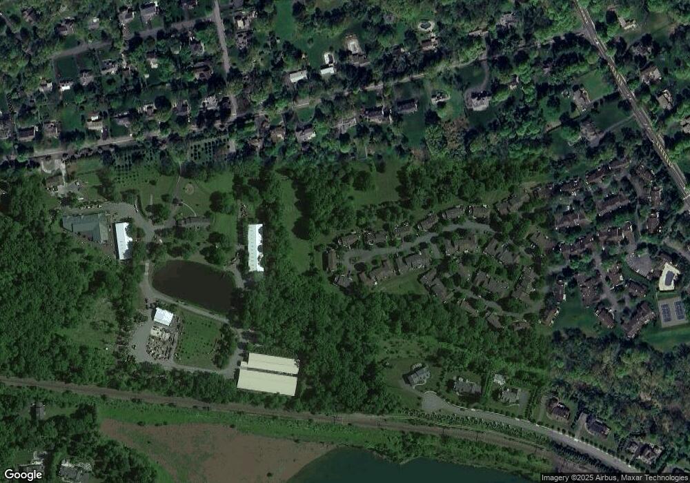
Map
Nearby Homes
- 374 S Maple Ave
- 19 Juniper Way
- 135 Woods End Dr
- 44 Manor Dr
- 247 Lyons Rd
- 41 Smithfield Ct Unit 5
- 48 Commonwealth Dr Ondo
- 12 Tamarisk Ct
- 49 Alexandria Way Unit 5
- 71 Alexandria Way Unit 3
- 21 Alexandria Way
- 185 Jamestown Rd
- 488 King George Rd
- 23 Hampton Ct
- 95 Jamestown Rd Ondo
- 280 Alexandria Way
- 155 Jamestown Rd
- 138 Alexandria Way Condo Unit 138
- 1417 Long Hill Rd
- 209 Lake Rd
- 49 Dexter Dr N Unit 51
- 45 Dexter Dr N
- 56 Dexter Dr N
- 52 Dexter Dr N Unit 93
- 43 Dexter Dr N Unit 99
- 2 Deerfield Ct Unit 108
- 27 Dexter Dr N
- 25 Dexter Dr N Unit 108
- 41 Dexter Dr N
- 50 Dexter Dr N
- 29 Dexter Dr N
- 13 Dexter Dr N
- 11 Dexter Dr N Unit 32
- 15 Dexter Dr N Unit 34
- 9 Dexter Dr N
- 31 Dexter Dr N
- 39 Dexter Dr N Unit 101
- 7 Dexter Dr N
- 37 Dexter Dr N
- 17 Dexter Dr N Unit 35