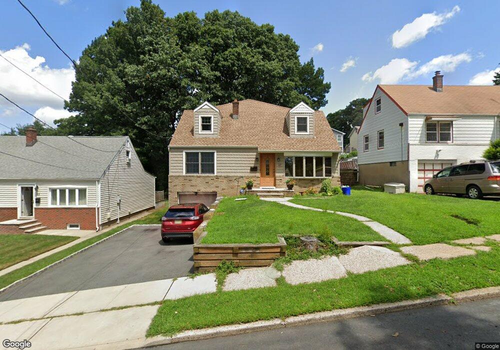
47 Division Ave Hasbrouck Heights, NJ 07604
Estimated Value: $801,461 - $892,000
Studio
--
Bath
2,624
Sq Ft
$324/Sq Ft
Est. Value
About This Home
This home is located at 47 Division Ave, Hasbrouck Heights, NJ 07604 and is currently estimated at $850,865, approximately $324 per square foot. 47 Division Ave is a home located in Bergen County with nearby schools including Hasbrouck Heights High School and Corpus Christi School.
Ownership History
Date
Name
Owned For
Owner Type
Purchase Details
Closed on
Mar 17, 1995
Sold by
Daniels Robert and Daniels Cathy
Bought by
Cutruzzula John and Cutruzzula Cheryl
Current Estimated Value
Home Financials for this Owner
Home Financials are based on the most recent Mortgage that was taken out on this home.
Original Mortgage
$150,000
Interest Rate
8.78%
Create a Home Valuation Report for This Property
The Home Valuation Report is an in-depth analysis detailing your home's value as well as a comparison with similar homes in the area
Home Values in the Area
Average Home Value in this Area
Purchase History
| Date | Buyer | Sale Price | Title Company |
|---|---|---|---|
| Cutruzzula John | $180,000 | -- |
Source: Public Records
Mortgage History
| Date | Status | Borrower | Loan Amount |
|---|---|---|---|
| Closed | Cutruzzula John | $150,000 |
Source: Public Records
Tax History
| Year | Tax Paid | Tax Assessment Tax Assessment Total Assessment is a certain percentage of the fair market value that is determined by local assessors to be the total taxable value of land and additions on the property. | Land | Improvement |
|---|---|---|---|---|
| 2025 | $15,256 | $597,100 | $227,900 | $369,200 |
| 2024 | $14,795 | $597,100 | $227,900 | $369,200 |
| 2023 | $13,643 | $574,100 | $217,900 | $356,200 |
| 2022 | $13,643 | $506,800 | $200,400 | $306,400 |
| 2021 | $13,247 | $469,100 | $187,900 | $281,200 |
| 2020 | $11,625 | $404,200 | $180,400 | $223,800 |
| 2019 | $11,298 | $397,100 | $177,900 | $219,200 |
| 2018 | $11,123 | $390,000 | $175,400 | $214,600 |
| 2017 | $10,936 | $382,900 | $172,900 | $210,000 |
| 2016 | $10,826 | $356,700 | $162,900 | $193,800 |
| 2015 | $10,651 | $356,700 | $162,900 | $193,800 |
| 2014 | $10,359 | $356,700 | $162,900 | $193,800 |
Source: Public Records
Map
Nearby Homes
- 63 Raymond St
- 50 Henry St
- 14 Jefferson Ave Unit 16
- 125 Henry St
- 14 Passaic Ave
- 183 Terhune Ave Unit 3
- 183c Terhune Ave Unit C
- 28 Logan Place
- 25 Roosevelt Dr
- 167 Kipp Ave
- 4 Wesmont Dr Unit 1102
- 129 Eisenhower Ln Unit 2109
- 93 Richmond St
- 84 Richmond St
- 163 Grove St
- 73 Wesmont Dr Unit 1811
- 75 Wesmont Dr
- 75 Wesmont Dr Unit 1812
- 37 Mary St
- 145 Cleveland Ave
- 51 Division Ave
- 43 Division Ave
- 55 Division Ave
- 50 Walter Ave
- 44 Walter Ave
- 54 Walter Ave
- 42 Walter Ave
- 56 Walter Ave
- 35 Division Ave
- 59 Division Ave
- 40 Walter Ave
- 50 Division Ave
- 46 Division Ave
- 60 Walter Ave
- 54 Division Ave
- 38 Walter Ave
- 63 Division Ave
- 31 Division Ave
- 42 Division Ave
- 58 Division Ave
Your Personal Tour Guide
Ask me questions while you tour the home.