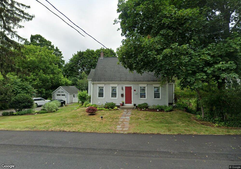
47 Dover St Whitman, MA 02382
Estimated Value: $569,000 - $591,000
4
Beds
2
Baths
2,035
Sq Ft
$286/Sq Ft
Est. Value
About This Home
This home is located at 47 Dover St, Whitman, MA 02382 and is currently estimated at $581,642, approximately $285 per square foot. 47 Dover St is a home located in Plymouth County with nearby schools including St Bridget School.
Ownership History
Date
Name
Owned For
Owner Type
Purchase Details
Closed on
Dec 3, 1987
Sold by
Lersch John R
Bought by
Kameese William S
Current Estimated Value
Home Financials for this Owner
Home Financials are based on the most recent Mortgage that was taken out on this home.
Original Mortgage
$90,000
Interest Rate
11.27%
Mortgage Type
Purchase Money Mortgage
Purchase Details
Closed on
Feb 12, 1987
Sold by
Fogg Cheryl L
Bought by
Lersch John R
Create a Home Valuation Report for This Property
The Home Valuation Report is an in-depth analysis detailing your home's value as well as a comparison with similar homes in the area
Home Values in the Area
Average Home Value in this Area
Purchase History
| Date | Buyer | Sale Price | Title Company |
|---|---|---|---|
| Lersch John R | $115,000 | -- | |
| Kameese William S | $160,000 | -- |
Source: Public Records
Mortgage History
| Date | Status | Borrower | Loan Amount |
|---|---|---|---|
| Open | Lersch John R | $25,000 | |
| Closed | Lersch John R | $15,300 | |
| Closed | Lersch John R | $108,000 | |
| Closed | Lersch John R | $90,000 |
Source: Public Records
Tax History Compared to Growth
Tax History
| Year | Tax Paid | Tax Assessment Tax Assessment Total Assessment is a certain percentage of the fair market value that is determined by local assessors to be the total taxable value of land and additions on the property. | Land | Improvement |
|---|---|---|---|---|
| 2025 | $6,588 | $502,100 | $215,700 | $286,400 |
| 2024 | $6,136 | $481,600 | $211,600 | $270,000 |
| 2023 | $5,899 | $434,700 | $183,400 | $251,300 |
| 2022 | $5,827 | $400,200 | $166,700 | $233,500 |
| 2021 | $5,609 | $361,900 | $153,200 | $208,700 |
| 2020 | $5,391 | $340,100 | $138,600 | $201,500 |
| 2019 | $5,066 | $329,400 | $138,600 | $190,800 |
| 2018 | $4,702 | $293,700 | $131,300 | $162,400 |
| 2017 | $4,429 | $293,700 | $131,300 | $162,400 |
| 2016 | $4,276 | $274,300 | $125,100 | $149,200 |
| 2015 | $4,304 | $275,700 | $125,100 | $150,600 |
Source: Public Records
Map
Nearby Homes
- 135-137 Temple St
- 53 Temple St
- 164 Warren Ave
- 604 Bedford St Unit 5
- 277 School St
- 42 Rock St
- 24 Churchill Ave
- 150 Harvard St
- 48 Day St
- 383 Washington St
- 159 Auburn St
- 157 Auburn St Unit 157
- 109 Fullerton Ave
- 154 Auburn St
- 54-56 Stetson St
- 485 Temple St
- 88 Woodlawn Cir
- 262 Homeland Dr
- 281 Commercial St
- 618 Auburn St
- 57 Dover St
- 37 Dover St
- 31 Dover St
- 41 Glen St
- 48 Dover St
- 54 Dover St
- 38 Dover St
- 27 Glen St
- 51 Glen St
- 32 Dover St
- 23 Dover St
- F4 877 Auburnville
- N1, 877 Auburnville
- 63 Glen St
- 10 Buckley Ave Unit 9
- 10 Buckley Ave Unit 6
- 10 Buckley Ave Unit 2
- 10 Buckley Ave Unit 1
- 10 Buckley Ave Unit 3
- 10 Buckley Ave