47 E Cundys Point Rd Harpswell, ME 04079
Harpswell NeighborhoodEstimated Value: $2,514,000 - $2,787,000
3
Beds
2
Baths
4,621
Sq Ft
$573/Sq Ft
Est. Value
About This Home
This home is located at 47 E Cundys Point Rd, Harpswell, ME 04079 and is currently estimated at $2,649,766, approximately $573 per square foot. 47 E Cundys Point Rd is a home located in Cumberland County with nearby schools including Mt Ararat High School.
Ownership History
Date
Name
Owned For
Owner Type
Purchase Details
Closed on
Dec 19, 2024
Sold by
Slattery Gayle M
Bought by
Wexler Robert
Current Estimated Value
Purchase Details
Closed on
Nov 1, 2006
Sold by
Wexler Robert
Bought by
Berry Richard
Purchase Details
Closed on
Aug 4, 2005
Sold by
Winkler Louise E Est and Chase
Bought by
Slattery Gayle M
Create a Home Valuation Report for This Property
The Home Valuation Report is an in-depth analysis detailing your home's value as well as a comparison with similar homes in the area
Home Values in the Area
Average Home Value in this Area
Purchase History
| Date | Buyer | Sale Price | Title Company |
|---|---|---|---|
| Wexler Robert | -- | None Available | |
| Robert Wexler 2024 T | -- | None Available | |
| Robert Wexler 2024 T | -- | None Available | |
| Gayle Slattery 2024 T | -- | None Available | |
| Gayle Slattery 2024 T | -- | None Available | |
| Wexler Robert | -- | None Available | |
| Wexler Robert | -- | None Available | |
| Berry Richard | -- | -- | |
| Slattery Gayle M | -- | -- | |
| Berry Richard | -- | -- | |
| Slattery Gayle M | -- | -- |
Source: Public Records
Tax History
| Year | Tax Paid | Tax Assessment Tax Assessment Total Assessment is a certain percentage of the fair market value that is determined by local assessors to be the total taxable value of land and additions on the property. | Land | Improvement |
|---|---|---|---|---|
| 2025 | $13,123 | $1,970,400 | $835,800 | $1,134,600 |
| 2024 | $12,532 | $1,970,400 | $835,800 | $1,134,600 |
| 2023 | $12,019 | $1,970,400 | $835,800 | $1,134,600 |
| 2022 | $11,625 | $1,970,400 | $835,800 | $1,134,600 |
| 2021 | $11,859 | $1,754,300 | $812,700 | $941,600 |
| 2020 | $4,009 | $1,754,300 | $812,700 | $941,600 |
| 2019 | $2,656 | $1,754,300 | $812,700 | $941,600 |
| 2018 | $11,368 | $1,754,300 | $812,700 | $941,600 |
| 2017 | $2,392 | $1,754,300 | $812,700 | $941,600 |
| 2016 | $11,228 | $1,754,300 | $812,700 | $941,600 |
| 2015 | $10,947 | $1,754,300 | $812,700 | $941,600 |
| 2013 | $9,618 | $1,664,100 | $812,700 | $851,400 |
Source: Public Records
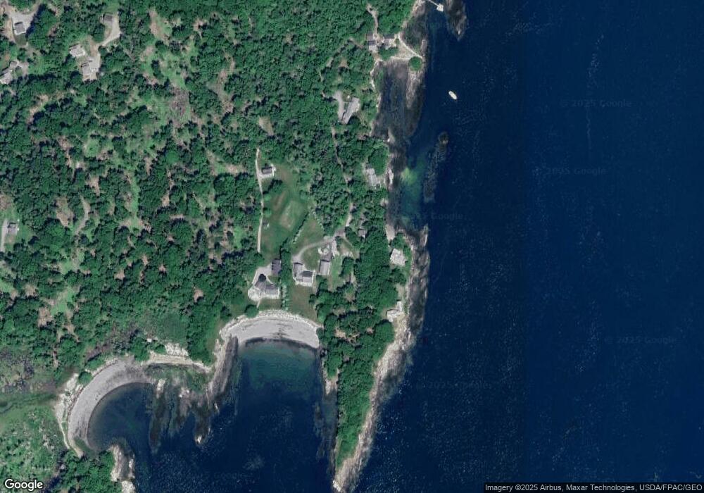
Map
Nearby Homes
- 0 Sebasco Rd
- lot C Long Point Rd
- 93 Governors Point Rd
- Lot 18 Pasture Rd
- 1682 &1676 Main Rd
- 4 Osprey Ridge Rd
- 0 Bayview Rd Unit 2 1632776
- 30 Driftwood Tide Ln
- 32 Merritt Rd
- 63 Youngs Ln
- Lot 5 Sagamore Dr
- Lot 5 Sagamore Dr Unit 5
- Lot 3 Sagamore Dr Unit 3
- Lot 3 Sagamore Dr
- Lot# 9 Kennebec Shores Rd
- 45 Little Island Rd Unit 45
- Lot 7-1 Captain John Parker Rd
- Lot 2B Allen Point Rd
- 15 Church Ln
- 001 Popham Rd
- 47 E Cundy's Point
- 55 E Cundys Point Rd
- Lot 39&40 Cundys Point Rd
- 14 Tiemer Rd
- 0 Sandy Cove Rd Unit 1460072
- 73 E Cundys Point Rd
- Lots 37,39 Cundys Point Rd
- 83 E Cundys Point Rd
- 49 Cundys Point Rd
- Lot# 35 Cundy's Point Rd
- Lot 37 Cundys Point Rd
- 00 W Cundys Pt Lot 31
- 9 Cundys Point Rd
- 5 Cundys Point Rd
- 97 E Cundys Point Rd
- 36 Cundys Point Rd
- 36 Cundy's Point Rd
- 35 W Cundys Point
- 8 Cundys Point Rd
- 977 Cundy's Harbor Rd
Your Personal Tour Guide
Ask me questions while you tour the home.