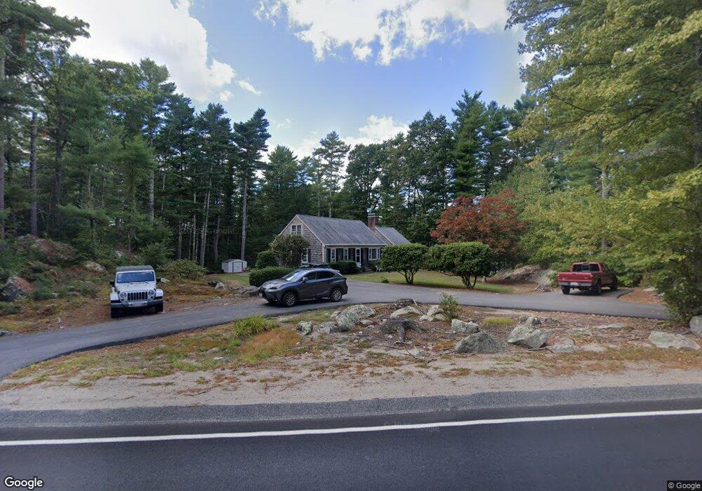
47 E Howland Rd East Freetown, MA 02717
Estimated Value: $491,000 - $577,000
3
Beds
3
Baths
1,728
Sq Ft
$311/Sq Ft
Est. Value
About This Home
This home is located at 47 E Howland Rd, East Freetown, MA 02717 and is currently estimated at $538,031, approximately $311 per square foot. 47 E Howland Rd is a home located in Bristol County with nearby schools including Freetown Elementary School, George R Austin Intermediate School, and Freetown-Lakeville Middle School.
Ownership History
Date
Name
Owned For
Owner Type
Purchase Details
Closed on
Nov 28, 2022
Sold by
Morgado Stephen A and Morgado Janet G
Bought by
Morgado Ft
Current Estimated Value
Purchase Details
Closed on
Mar 15, 1977
Bought by
Morgado Stephen A and Morgado Janet G
Create a Home Valuation Report for This Property
The Home Valuation Report is an in-depth analysis detailing your home's value as well as a comparison with similar homes in the area
Home Values in the Area
Average Home Value in this Area
Purchase History
| Date | Buyer | Sale Price | Title Company |
|---|---|---|---|
| Morgado Ft | -- | None Available | |
| Morgado Stephen A | $39,900 | -- |
Source: Public Records
Mortgage History
| Date | Status | Borrower | Loan Amount |
|---|---|---|---|
| Previous Owner | Morgado Stephen A | $200,000 | |
| Previous Owner | Morgado Stephen A | $200,000 |
Source: Public Records
Tax History Compared to Growth
Tax History
| Year | Tax Paid | Tax Assessment Tax Assessment Total Assessment is a certain percentage of the fair market value that is determined by local assessors to be the total taxable value of land and additions on the property. | Land | Improvement |
|---|---|---|---|---|
| 2025 | $4,379 | $441,900 | $158,900 | $283,000 |
| 2024 | $4,349 | $417,000 | $149,900 | $267,100 |
| 2023 | $4,225 | $394,500 | $135,000 | $259,500 |
| 2022 | $4,027 | $333,900 | $114,400 | $219,500 |
| 2021 | $3,758 | $295,900 | $104,000 | $191,900 |
| 2020 | $3,739 | $287,200 | $100,000 | $187,200 |
| 2019 | $3,532 | $268,600 | $95,200 | $173,400 |
| 2018 | $3,333 | $250,400 | $95,200 | $155,200 |
| 2017 | $3,266 | $245,200 | $95,200 | $150,000 |
| 2016 | $3,118 | $238,200 | $92,500 | $145,700 |
| 2015 | $3,037 | $235,400 | $92,500 | $142,900 |
| 2014 | $2,933 | $232,600 | $90,600 | $142,000 |
Source: Public Records
Map
Nearby Homes
- 109 E Howland Rd
- 104 E Howland Rd
- 51 E Howland Rd
- 147 Howland Rd
- 48 E Howland Rd
- 50 E Howland Rd
- 45 E Howland Rd
- 146 E Howland Rd
- 146 Howland Rd
- 41 E Howland Rd
- 144 Howland Rd
- 145 Howland Rd
- 37 E Howland Rd
- 40 E Howland Rd
- 42 E Howland Rd
- 38 E Howland Rd
- 46 E Howland Rd
- 46 E Howland Rd
- 46 E Howland Rd
- 46 E Howland Rd