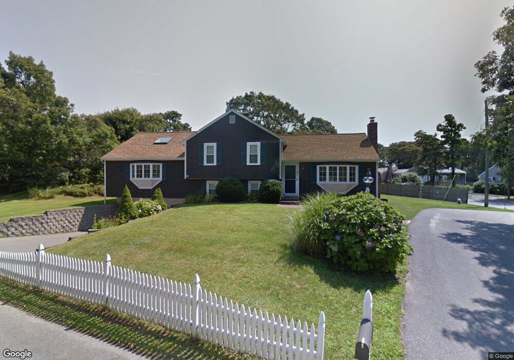
47 Ellis Dr Dennis Port, MA 02639
Dennis Port NeighborhoodEstimated Value: $847,000 - $1,074,000
4
Beds
3
Baths
1,668
Sq Ft
$589/Sq Ft
Est. Value
About This Home
This home is located at 47 Ellis Dr, Dennis Port, MA 02639 and is currently estimated at $983,055, approximately $589 per square foot. 47 Ellis Dr is a home located in Barnstable County with nearby schools including Dennis-Yarmouth Regional High School and St. Pius X. School.
Ownership History
Date
Name
Owned For
Owner Type
Purchase Details
Closed on
Nov 5, 2010
Sold by
Bates Frederick D and Bates Mary J
Bought by
Nevin Lawrence T and Malone Jennifer
Current Estimated Value
Home Financials for this Owner
Home Financials are based on the most recent Mortgage that was taken out on this home.
Original Mortgage
$235,000
Outstanding Balance
$156,152
Interest Rate
4.41%
Mortgage Type
Purchase Money Mortgage
Estimated Equity
$826,903
Purchase Details
Closed on
Feb 9, 2009
Sold by
Household Finance Corp
Bought by
Bates Frederick D and Bates Mary J
Purchase Details
Closed on
Jan 30, 2009
Sold by
Abdow Eric
Bought by
Household Finance Corp
Purchase Details
Closed on
May 29, 1998
Sold by
Wadington Elizabeth C
Bought by
Madonna Diane
Home Financials for this Owner
Home Financials are based on the most recent Mortgage that was taken out on this home.
Original Mortgage
$125,950
Interest Rate
7.12%
Mortgage Type
Purchase Money Mortgage
Create a Home Valuation Report for This Property
The Home Valuation Report is an in-depth analysis detailing your home's value as well as a comparison with similar homes in the area
Home Values in the Area
Average Home Value in this Area
Purchase History
| Date | Buyer | Sale Price | Title Company |
|---|---|---|---|
| Nevin Lawrence T | $420,000 | -- | |
| Bates Frederick D | $220,000 | -- | |
| Household Finance Corp | $360,000 | -- | |
| Madonna Diane | $128,000 | -- |
Source: Public Records
Mortgage History
| Date | Status | Borrower | Loan Amount |
|---|---|---|---|
| Open | Nevin Lawrence T | $235,000 | |
| Previous Owner | Madonna Diane | $125,950 |
Source: Public Records
Tax History Compared to Growth
Tax History
| Year | Tax Paid | Tax Assessment Tax Assessment Total Assessment is a certain percentage of the fair market value that is determined by local assessors to be the total taxable value of land and additions on the property. | Land | Improvement |
|---|---|---|---|---|
| 2025 | $4,046 | $934,300 | $228,100 | $706,200 |
| 2024 | $3,957 | $901,400 | $219,300 | $682,100 |
| 2023 | $3,827 | $819,500 | $199,400 | $620,100 |
| 2022 | $3,562 | $636,100 | $179,600 | $456,500 |
| 2021 | $0 | $558,700 | $176,100 | $382,600 |
| 2020 | $0 | $424,800 | $162,600 | $262,200 |
| 2019 | $4,885 | $445,700 | $159,400 | $286,300 |
| 2018 | $0 | $441,300 | $164,400 | $276,900 |
| 2017 | $4,193 | $419,800 | $151,700 | $268,100 |
| 2016 | $2,526 | $386,800 | $158,000 | $228,800 |
| 2015 | $2,476 | $386,800 | $158,000 | $228,800 |
| 2014 | $2,336 | $367,900 | $139,100 | $228,800 |
Source: Public Records
Map
Nearby Homes
- 102 Sea St
- 12 Cross St
- 22 Ferncliff Rd
- 26 Manning Rd
- 402 Old Wharf Rd
- 402 Old Wharf Rd
- 159 Center St Unit 22
- 405 Old Wharf Rd Unit B204
- 405 Old Wharf Rd Unit B204
- 11 Ocean Park W
- 37-A Beach Hills Rd
- 22 Wixon Rd
- 37 Beach Hills Rd
- 9 Chase Ave Unit 6
- 72 Bassett Ln
- 31 Easy St
- 10 Candlewood Ln Unit 2-1
- 12 Candlewood Ln Unit 2-9
- 268 Main St
- 262 Old Wharf Rd Unit 67