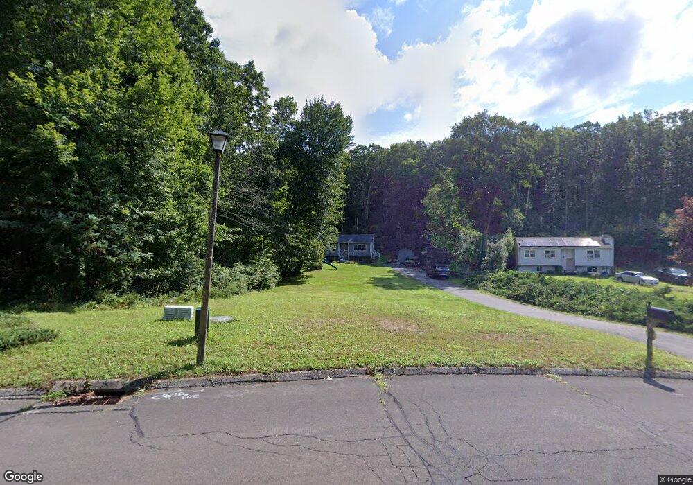
47 Grouse Cir East Lyme, CT 06333
Estimated Value: $391,000 - $461,000
3
Beds
1
Bath
948
Sq Ft
$450/Sq Ft
Est. Value
About This Home
This home is located at 47 Grouse Cir, East Lyme, CT 06333 and is currently estimated at $426,212, approximately $449 per square foot. 47 Grouse Cir is a home located in New London County with nearby schools including East Lyme Middle School, East Lyme High School, and Carelot Children's Center - East Lyme.
Ownership History
Date
Name
Owned For
Owner Type
Purchase Details
Closed on
Oct 18, 2020
Sold by
Lucier Jordan
Bought by
Lucier Jordan and Lucier Rachel
Current Estimated Value
Purchase Details
Closed on
Dec 23, 2011
Sold by
Gresh John E and Gresh Colleen M
Bought by
Lucier Jordan
Home Financials for this Owner
Home Financials are based on the most recent Mortgage that was taken out on this home.
Original Mortgage
$191,518
Interest Rate
3.5%
Mortgage Type
FHA
Purchase Details
Closed on
Mar 17, 1995
Sold by
Arder Pamela R
Bought by
Gresh John E
Purchase Details
Closed on
May 25, 1988
Sold by
Mcconnell John
Bought by
Resinsky Pamela
Create a Home Valuation Report for This Property
The Home Valuation Report is an in-depth analysis detailing your home's value as well as a comparison with similar homes in the area
Home Values in the Area
Average Home Value in this Area
Purchase History
| Date | Buyer | Sale Price | Title Company |
|---|---|---|---|
| Lucier Jordan | -- | None Available | |
| Lucier Jordan | $196,500 | -- | |
| Gresh John E | $102,000 | -- | |
| Resinsky Pamela | $115,000 | -- |
Source: Public Records
Mortgage History
| Date | Status | Borrower | Loan Amount |
|---|---|---|---|
| Previous Owner | Resinsky Pamela | $191,518 | |
| Previous Owner | Resinsky Pamela | $14,500 | |
| Previous Owner | Resinsky Pamela | $114,400 |
Source: Public Records
Tax History Compared to Growth
Tax History
| Year | Tax Paid | Tax Assessment Tax Assessment Total Assessment is a certain percentage of the fair market value that is determined by local assessors to be the total taxable value of land and additions on the property. | Land | Improvement |
|---|---|---|---|---|
| 2025 | $5,253 | $187,530 | $102,900 | $84,630 |
| 2024 | $4,941 | $187,530 | $102,900 | $84,630 |
| 2023 | $4,666 | $187,530 | $102,900 | $84,630 |
| 2022 | $4,471 | $187,530 | $102,900 | $84,630 |
| 2021 | $4,560 | $159,950 | $97,790 | $62,160 |
| 2020 | $4,536 | $159,950 | $97,790 | $62,160 |
| 2019 | $4,509 | $159,950 | $97,790 | $62,160 |
| 2018 | $4,375 | $159,950 | $97,790 | $62,160 |
| 2017 | $4,184 | $159,950 | $97,790 | $62,160 |
| 2016 | $3,968 | $156,450 | $92,610 | $63,840 |
| 2015 | $3,866 | $156,450 | $92,610 | $63,840 |
| 2014 | $3,759 | $156,450 | $92,610 | $63,840 |
Source: Public Records
Map
Nearby Homes
- 48 Quailcrest Rd
- 12 Brookfield Dr
- 0 Cedarbrook Ln Unit 24110327
- 43 Mayfield Terrace
- 14 Irvingdell Place
- 15 Rocco Dr
- 18 Sandpiper Ln
- 29 Rocco Dr
- 0 Chesterfield Rd
- 50 Gurley Rd
- 10 Filosi Rd
- 32 Upper Pattagansett Rd Unit 8
- 231 Boston Post Rd Unit 9
- 138 Boston Post Rd Unit 10
- 138 Boston Post Rd Unit 11
- 138 Boston Post Rd Unit 16
- 138 Boston Post Rd Unit 17
- 138 Boston Post Rd Unit 3
- 1 Hathaway Rd
- 267 Waterford Pkwy N