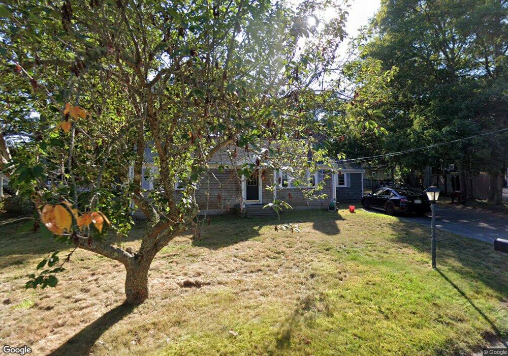
47 Grouse Ln Hyannis, MA 02601
Estimated Value: $475,000 - $640,000
2
Beds
2
Baths
1,264
Sq Ft
$440/Sq Ft
Est. Value
About This Home
This home is located at 47 Grouse Ln, Hyannis, MA 02601 and is currently estimated at $555,853, approximately $439 per square foot. 47 Grouse Ln is a home located in Barnstable County with nearby schools including Hyannis West Elementary School, Barnstable United Elementary School, and Barnstable Intermediate School.
Ownership History
Date
Name
Owned For
Owner Type
Purchase Details
Closed on
Sep 23, 2021
Sold by
Forman Gary L
Bought by
Forman Alexander S
Current Estimated Value
Purchase Details
Closed on
Sep 20, 2021
Sold by
D Forman T
Bought by
Forman Gary L and Forman Alexander S
Purchase Details
Closed on
Oct 1, 2012
Sold by
Forman Dolores
Bought by
Forman T D
Purchase Details
Closed on
Nov 6, 1995
Sold by
Ogden William H and Ogden Doris V
Bought by
Forman Saul
Create a Home Valuation Report for This Property
The Home Valuation Report is an in-depth analysis detailing your home's value as well as a comparison with similar homes in the area
Home Values in the Area
Average Home Value in this Area
Purchase History
| Date | Buyer | Sale Price | Title Company |
|---|---|---|---|
| Forman Alexander S | -- | None Available | |
| Forman Gary L | -- | None Available | |
| Forman T D | -- | -- | |
| Forman Dolores | -- | -- | |
| Forman Saul | $77,500 | -- |
Source: Public Records
Tax History
| Year | Tax Paid | Tax Assessment Tax Assessment Total Assessment is a certain percentage of the fair market value that is determined by local assessors to be the total taxable value of land and additions on the property. | Land | Improvement |
|---|---|---|---|---|
| 2025 | $4,175 | $450,400 | $150,600 | $299,800 |
| 2024 | $4,051 | $447,600 | $150,600 | $297,000 |
| 2023 | $3,748 | $391,600 | $136,900 | $254,700 |
| 2022 | $3,738 | $323,100 | $101,400 | $221,700 |
| 2021 | $3,366 | $282,600 | $101,400 | $181,200 |
| 2020 | $3,415 | $277,000 | $101,400 | $175,600 |
| 2019 | $3,208 | $255,000 | $101,400 | $153,600 |
| 2018 | $2,732 | $222,100 | $106,800 | $115,300 |
| 2017 | $2,599 | $216,800 | $106,800 | $110,000 |
| 2016 | $2,551 | $217,500 | $107,500 | $110,000 |
| 2015 | $2,433 | $210,300 | $103,700 | $106,600 |
Source: Public Records
Map
Nearby Homes
- 36 Grouse Ln
- 20 Sunset Terrace
- 83 Peacock Dr
- 260 Tobey Way
- 33 Edgewood Rd
- 15 Glen Rd
- 135 W Main St Unit 7
- 14 Marston Ave
- 179 Sudbury Ln
- 140 6th Ave
- 50 Redwood Ln
- 292 Megan Rd
- 75 Olander Dr
- 75 Olander Dr
- 576 Strawberry Hill Rd
- 46 Washington Ave
- 18 Mount Vernon Ave
- 780 Craigville Beach Rd Unit D-2
- 780 Craigville Beach Rd Unit 1
- 780 Craigville Beach Rd
Your Personal Tour Guide
Ask me questions while you tour the home.