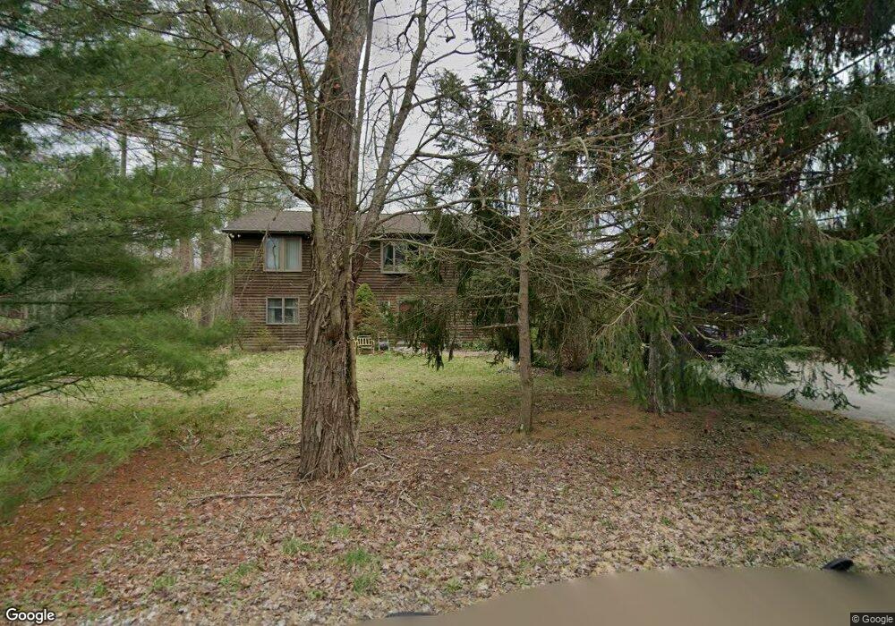
47 Hanover Rd Hewitt, NJ 07421
Estimated Value: $533,918 - $596,000
Studio
--
Bath
2,700
Sq Ft
$211/Sq Ft
Est. Value
About This Home
This home is located at 47 Hanover Rd, Hewitt, NJ 07421 and is currently estimated at $569,230, approximately $210 per square foot. 47 Hanover Rd is a home located in Passaic County with nearby schools including Macopin Middle School and West Milford High School.
Ownership History
Date
Name
Owned For
Owner Type
Purchase Details
Closed on
Oct 30, 2002
Sold by
Kornberg April
Bought by
Banek Edward and Banek Ann
Current Estimated Value
Home Financials for this Owner
Home Financials are based on the most recent Mortgage that was taken out on this home.
Original Mortgage
$209,888
Outstanding Balance
$87,977
Interest Rate
6.03%
Estimated Equity
$481,253
Purchase Details
Closed on
Oct 19, 1993
Sold by
Stapleton Bernard
Bought by
Kornberg Stuart
Home Financials for this Owner
Home Financials are based on the most recent Mortgage that was taken out on this home.
Original Mortgage
$155,000
Interest Rate
6.78%
Create a Home Valuation Report for This Property
The Home Valuation Report is an in-depth analysis detailing your home's value as well as a comparison with similar homes in the area
Home Values in the Area
Average Home Value in this Area
Purchase History
We collect this data history from publicly available records. To have your information removed, we recommend requesting removal directly through your county’s website.
| Date | Buyer | Sale Price | Title Company |
|---|---|---|---|
| Banek Edward | $289,888 | -- | |
| Kornberg Stuart | $170,000 | -- |
Source: Public Records
Mortgage History
We collect this data history from publicly available records. To have your information removed, we recommend requesting removal directly through your county’s website.
| Date | Status | Borrower | Loan Amount |
|---|---|---|---|
| Open | Banek Edward | $209,888 | |
| Previous Owner | Kornberg Stuart | $155,000 |
Source: Public Records
Tax History
| Year | Tax Paid | Tax Assessment Tax Assessment Total Assessment is a certain percentage of the fair market value that is determined by local assessors to be the total taxable value of land and additions on the property. | Land | Improvement |
|---|---|---|---|---|
| 2025 | $11,980 | $295,500 | $75,200 | $220,300 |
| 2024 | $11,792 | $295,500 | $75,200 | $220,300 |
| 2022 | $11,430 | $295,500 | $75,200 | $220,300 |
| 2021 | $11,185 | $295,500 | $75,200 | $220,300 |
| 2020 | $11,066 | $295,500 | $75,200 | $220,300 |
| 2019 | $10,919 | $295,500 | $75,200 | $220,300 |
| 2018 | $10,892 | $295,500 | $75,200 | $220,300 |
| 2017 | $10,942 | $295,500 | $75,200 | $220,300 |
| 2016 | $10,710 | $295,500 | $75,200 | $220,300 |
| 2015 | $10,583 | $295,500 | $75,200 | $220,300 |
| 2014 | $10,320 | $295,500 | $75,200 | $220,300 |
Source: Public Records
Map
Nearby Homes
- 67 Hanover Rd
- 4 Wyckoff Ct
- 677 Warwick Turnpike
- 6 Florence Rd
- 5 Banker Rd
- 75 Witte Rd
- 3 Neptune Rd
- 42 Witte Rd
- 22 Glenridge Rd
- 24 Reigler Rd
- 469 Warwick Turnpike
- 32 Clayton Rd
- 8 Tyler Place
- 119 Lake Shore Dr
- 13 Ardena Rd
- 628-630 N Lake Shore Dr
- 199 Lake Shore Dr
- 210 Lake Shore Dr
- 210 N Lake Shore Dr
- 0 Kresson Rd
Your Personal Tour Guide
Ask me questions while you tour the home.