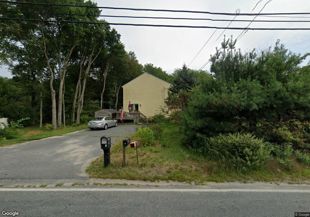
47 Hartford Ave E Unit A Mendon, MA 01756
Estimated Value: $322,120 - $467,000
3
Beds
2
Baths
1,200
Sq Ft
$319/Sq Ft
Est. Value
About This Home
This home is located at 47 Hartford Ave E Unit A, Mendon, MA 01756 and is currently estimated at $382,280, approximately $318 per square foot. 47 Hartford Ave E Unit A is a home located in Worcester County with nearby schools including Nipmuc Regional High School, Bethany Christian Academy, and Mendon Mennonite School.
Ownership History
Date
Name
Owned For
Owner Type
Purchase Details
Closed on
Oct 22, 2004
Sold by
Senst Carla R and Senst William A
Bought by
Kinne Cynthia F and Kinne Michael J
Current Estimated Value
Home Financials for this Owner
Home Financials are based on the most recent Mortgage that was taken out on this home.
Original Mortgage
$228,185
Outstanding Balance
$113,614
Interest Rate
5.85%
Mortgage Type
Purchase Money Mortgage
Estimated Equity
$268,666
Create a Home Valuation Report for This Property
The Home Valuation Report is an in-depth analysis detailing your home's value as well as a comparison with similar homes in the area
Home Values in the Area
Average Home Value in this Area
Purchase History
| Date | Buyer | Sale Price | Title Company |
|---|---|---|---|
| Kinne Cynthia F | $240,195 | -- |
Source: Public Records
Mortgage History
| Date | Status | Borrower | Loan Amount |
|---|---|---|---|
| Open | Kinne Cynthia F | $228,185 |
Source: Public Records
Tax History Compared to Growth
Tax History
| Year | Tax Paid | Tax Assessment Tax Assessment Total Assessment is a certain percentage of the fair market value that is determined by local assessors to be the total taxable value of land and additions on the property. | Land | Improvement |
|---|---|---|---|---|
| 2025 | $3,421 | $255,500 | $0 | $255,500 |
| 2024 | $3,396 | $247,700 | $0 | $247,700 |
| 2023 | $3,215 | $220,200 | $0 | $220,200 |
| 2022 | $3,338 | $216,600 | $0 | $216,600 |
| 2021 | $3,387 | $201,700 | $0 | $201,700 |
| 2020 | $3,095 | $184,800 | $0 | $184,800 |
| 2019 | $2,963 | $177,000 | $0 | $177,000 |
| 2018 | $2,790 | $164,500 | $0 | $164,500 |
| 2017 | $2,845 | $160,300 | $0 | $160,300 |
| 2016 | $2,726 | $158,000 | $0 | $158,000 |
| 2015 | $2,405 | $150,200 | $0 | $150,200 |
| 2014 | $2,400 | $149,800 | $0 | $149,800 |
Source: Public Records
Map
Nearby Homes
- 50 Hartford Ave E
- 8 Puffer Dr
- 93 Providence St Unit B
- 111 Providence St
- 23 Bens Way
- 25 Bens Way
- 19 King Philip Path
- 25 Ashkins Dr
- 370 S Main St
- 2 Crestview Dr
- 6 Mellen St
- 0 Hartford Ave
- 13 Blackstone St
- 164 Greene St
- 267 S Main St
- 270 S Main St
- 20 Thayer Rd
- 10 Wesley Dr
- 256 S Main St
- 108 Laurelwood Dr Unit 108
- 47 Hartford Ave E Unit B
- 2 Bellingham St Unit 2
- 49 Hartford Ave E
- 5 Bellingham St
- 5 Bellingham St
- 3 Bellingham St
- 6 Bellingham St
- 52 Hartford Ave E
- 8 Bellingham St
- 5 Bellingham St
- 5 Bellingham St Unit 5
- 5 Bellingham St Unit 4
- 51 Hartford Ave E
- 7 Bellingham St
- 10 Bellingham St
- 53 Hartford Ave E
- 4 Warfield Rd
- 55 Hartford Ave E
- 44 Hartford Ave E
- 57 Hartford Ave E