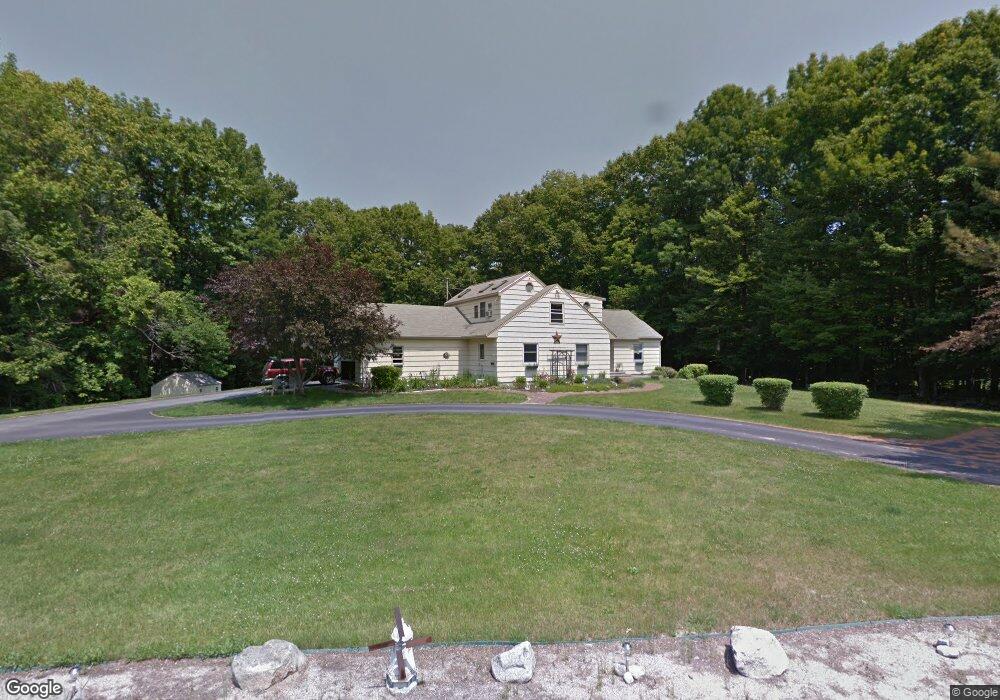
47 Hearthside Rd Standish, ME 04084
North Gorham NeighborhoodEstimated Value: $534,741 - $729,000
3
Beds
2
Baths
2,554
Sq Ft
$253/Sq Ft
Est. Value
About This Home
This home is located at 47 Hearthside Rd, Standish, ME 04084 and is currently estimated at $645,435, approximately $252 per square foot. 47 Hearthside Rd is a home located in Cumberland County with nearby schools including Bonny Eagle High School.
Ownership History
Date
Name
Owned For
Owner Type
Purchase Details
Closed on
Aug 1, 2013
Sold by
Oclair Kelley M
Bought by
Oclair James R
Current Estimated Value
Create a Home Valuation Report for This Property
The Home Valuation Report is an in-depth analysis detailing your home's value as well as a comparison with similar homes in the area
Home Values in the Area
Average Home Value in this Area
Purchase History
| Date | Buyer | Sale Price | Title Company |
|---|---|---|---|
| Oclair James R | -- | -- | |
| Oclair James R | -- | -- |
Source: Public Records
Mortgage History
| Date | Status | Borrower | Loan Amount |
|---|---|---|---|
| Closed | Oclair James R | $245,905 | |
| Closed | Oclair James R | $245,500 | |
| Closed | Oclair James R | $40,000 |
Source: Public Records
Tax History
| Year | Tax Paid | Tax Assessment Tax Assessment Total Assessment is a certain percentage of the fair market value that is determined by local assessors to be the total taxable value of land and additions on the property. | Land | Improvement |
|---|---|---|---|---|
| 2024 | $5,074 | $402,700 | $97,400 | $305,300 |
| 2023 | $4,615 | $333,200 | $82,300 | $250,900 |
| 2022 | $4,368 | $302,300 | $73,200 | $229,100 |
| 2021 | $3,902 | $285,100 | $66,600 | $218,500 |
| 2019 | $4,034 | $282,100 | $63,600 | $218,500 |
| 2018 | $3,525 | $275,600 | $57,100 | $218,500 |
| 2017 | $3,652 | $275,600 | $57,100 | $218,500 |
| 2016 | $3,533 | $275,600 | $57,100 | $218,500 |
| 2015 | $3,525 | $275,600 | $57,100 | $218,500 |
| 2013 | -- | $275,600 | $57,100 | $218,500 |
Source: Public Records
Map
Nearby Homes
- 194 Hearthside Rd
- 72 Sand Beach Rd
- 103 Basin Rd
- 34 Trails End Rd
- 96 Mineral Spring Rd
- 32 Patriot Place
- 6 Gilman Rd
- 34 Robin Ln
- 10 Abby Rd
- 75 Tandberg Trail
- 5 Cardinal Ln
- 55 Page Rd
- 1042 Roosevelt Trail
- 1 Matinicus Way Unit 1
- 0 Turning Leaf Dr Unit 1640377
- 5 Sandbar Rd
- 32 Middle Jam Rd
- 99 Enterprise Dr
- 14 Sabbady Point Rd
- lot #8 Bedrock Terrace
- 93 Hearthside Rd
- 156 Hearthside Rd
- 43 Hearthside Rd
- 134 Hearthside Rd
- 61 Hearthside Rd
- 33 Hearthside Rd
- 66 Hearthside Rd
- 53 Hearthside Rd
- 71 Hearthside Rd
- 27 Hearthside Rd
- 120 Hearthside Rd
- 72 Hearthside Rd
- 75 Hearthside Rd
- 23 Hearthside Rd
- 37 Hearthside Rd
- 102 Hearthside Rd
- 79 Hearthside Rd
- 221 Hearthside Rd
- 15 Hearthside Rd
- 8 Shaw Acres Rd
Your Personal Tour Guide
Ask me questions while you tour the home.