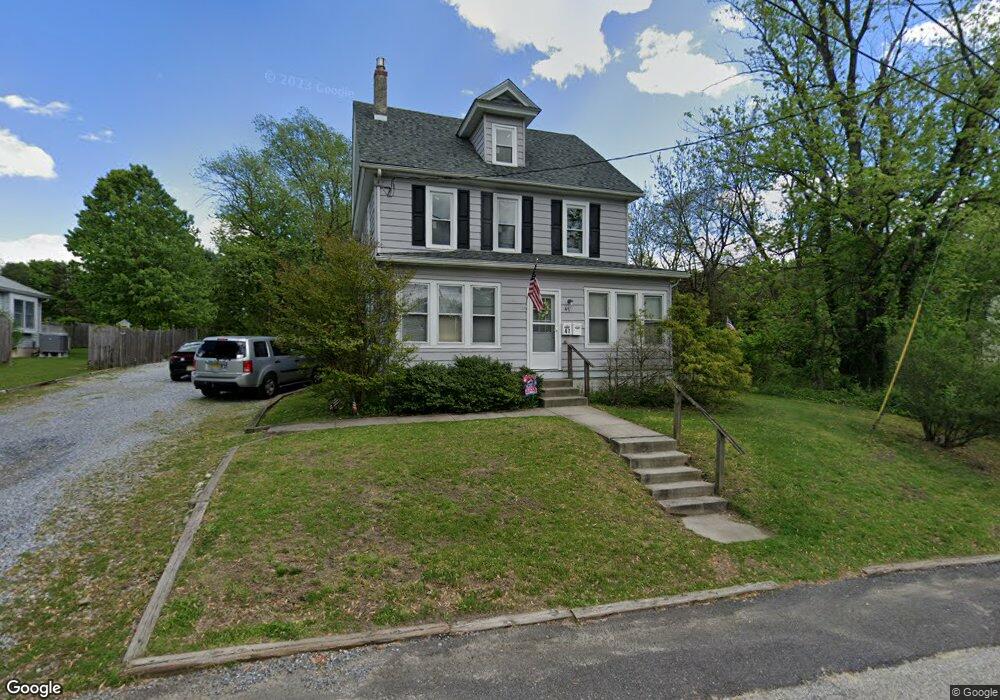
47 High St Mantua, NJ 08051
Estimated Value: $353,000 - $410,000
Studio
--
Bath
2,025
Sq Ft
$191/Sq Ft
Est. Value
About This Home
This home is located at 47 High St, Mantua, NJ 08051 and is currently estimated at $386,688, approximately $190 per square foot. 47 High St is a home located in Gloucester County with nearby schools including J. Mason Tomlin Elementary School, Centre City School, and Clearview Regional Middle School.
Ownership History
Date
Name
Owned For
Owner Type
Purchase Details
Closed on
Feb 10, 2005
Sold by
Settar Michael E and Settar Patricia A
Bought by
Haven Kelby L
Current Estimated Value
Home Financials for this Owner
Home Financials are based on the most recent Mortgage that was taken out on this home.
Original Mortgage
$135,200
Outstanding Balance
$68,313
Interest Rate
5.66%
Mortgage Type
Purchase Money Mortgage
Estimated Equity
$318,375
Purchase Details
Closed on
Aug 31, 2001
Sold by
Gulite Alan J
Bought by
Settar Michael E and Settar Patricia A
Home Financials for this Owner
Home Financials are based on the most recent Mortgage that was taken out on this home.
Original Mortgage
$104,400
Interest Rate
7.05%
Create a Home Valuation Report for This Property
The Home Valuation Report is an in-depth analysis detailing your home's value as well as a comparison with similar homes in the area
Home Values in the Area
Average Home Value in this Area
Purchase History
| Date | Buyer | Sale Price | Title Company |
|---|---|---|---|
| Haven Kelby L | $169,000 | Congress Title | |
| Settar Michael E | $116,000 | -- |
Source: Public Records
Mortgage History
| Date | Status | Borrower | Loan Amount |
|---|---|---|---|
| Open | Haven Kelby L | $135,200 | |
| Previous Owner | Settar Michael E | $104,400 |
Source: Public Records
Tax History
| Year | Tax Paid | Tax Assessment Tax Assessment Total Assessment is a certain percentage of the fair market value that is determined by local assessors to be the total taxable value of land and additions on the property. | Land | Improvement |
|---|---|---|---|---|
| 2025 | $7,797 | $304,600 | $94,000 | $210,600 |
| 2024 | $7,715 | $302,800 | $94,000 | $208,800 |
Source: Public Records
Map
Nearby Homes
- 1215 Tristram Cir
- 112 Norris St
- 1147 Tristram Cir Unit 1147
- 1114 Tristram Cir
- 319 Bridgeton Pike
- 325 Bridgeton Pike
- 1180 Tristram Cir
- 606 Sangreal Ct Unit 505
- 153 Pendragon Way Unit 153
- 137 Pendragon Way
- 125 Ivy Ln
- 239 Tony Cir
- 203 Tony Cir Unit 203
- 241 Tony Cir Unit 241
- 6 Marathon Dr
- 204 W Landing Rd
- 19 Marathon Dr
- 485 Harrison Ave
- 36 Bluebird Rd
- 722 Glenside Dr
Your Personal Tour Guide
Ask me questions while you tour the home.