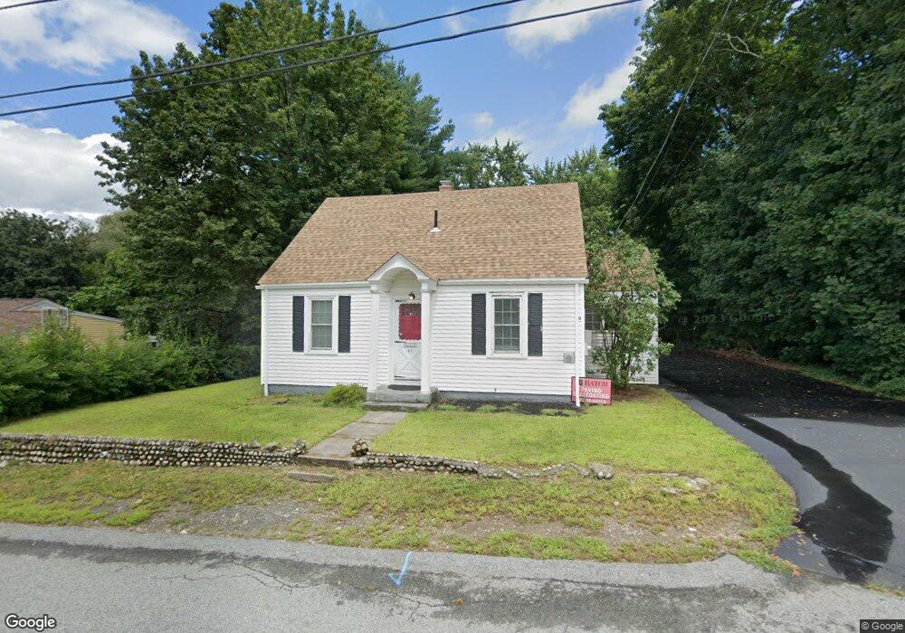
47 Lambert Ave Woonsocket, RI 02895
East Woonsocket NeighborhoodEstimated Value: $413,855 - $511,000
About This Home
This home is located at 47 Lambert Ave, Woonsocket, RI 02895 and is currently estimated at $442,964, approximately $269 per square foot. 47 Lambert Ave is a home located in Providence County with nearby schools including Woonsocket High School and Good Shepherd Catholic School.
Ownership History
We collect this data history from publicly available records. To have your information removed, we recommend requesting removal directly through your county’s website.
Purchase Details
Home Values in the Area
Average Home Value in this Area
Purchase History
We collect this data history from publicly available records. To have your information removed, we recommend requesting removal directly through your county’s website.
| Date | Buyer | Sale Price | Title Company |
|---|---|---|---|
| $196,500 | -- |
Mortgage History
We collect this data history from publicly available records. To have your information removed, we recommend requesting removal directly through your county’s website.
| Date | Status | Borrower | Loan Amount |
|---|---|---|---|
| Open | $22,602 | ||
| Previous Owner | $118,000 | ||
| Previous Owner | $10,000 | ||
| Previous Owner | $33,100 | ||
| Previous Owner | $40,000 | ||
| Previous Owner | $46,000 |
Tax History
We collect this data history from publicly available records. To have your information removed, we recommend requesting removal directly through your county’s website.
| Year | Tax Paid | Tax Assessment Tax Assessment Total Assessment is a certain percentage of the fair market value that is determined by local assessors to be the total taxable value of land and additions on the property. | Land | Improvement |
|---|---|---|---|---|
| 2025 | $4,339 | $386,400 | $107,800 | $278,600 |
| 2024 | $3,984 | $274,000 | $87,900 | $186,100 |
| 2023 | $3,831 | $274,000 | $87,900 | $186,100 |
| 2022 | $3,831 | $274,000 | $87,900 | $186,100 |
| 2021 | $4,458 | $187,700 | $70,500 | $117,200 |
| 2020 | $4,505 | $187,700 | $70,500 | $117,200 |
| 2018 | $4,520 | $187,700 | $70,500 | $117,200 |
| 2017 | $4,792 | $159,200 | $65,200 | $94,000 |
| 2016 | $5,069 | $159,200 | $65,200 | $94,000 |
| 2015 | $5,824 | $159,200 | $65,200 | $94,000 |
| 2014 | $4,023 | $159,900 | $71,800 | $88,100 |
Map
- 11 Bourassa Ave
- 129 Lefrancois Blvd
- 91 Oregon Ave
- 48 Madeleine Ave
- 102 Grace Ave
- 230 Manila Ave
- 417 Elder Ballou Meeting House Rd
- 82 Patton Rd
- 203 Tara Ln
- 157 Tara Ln
- 325 Morin St
- 178 Halsey Rd
- 264 Aylsworth Ave
- 375 Congress St
- 815 Elm St
- 74 Henry St
- 182 Theresa Marie Ave
- 43 Virginia Ave
- 628 Robinson St
- 644 Elm St
Ask me questions while you tour the home.