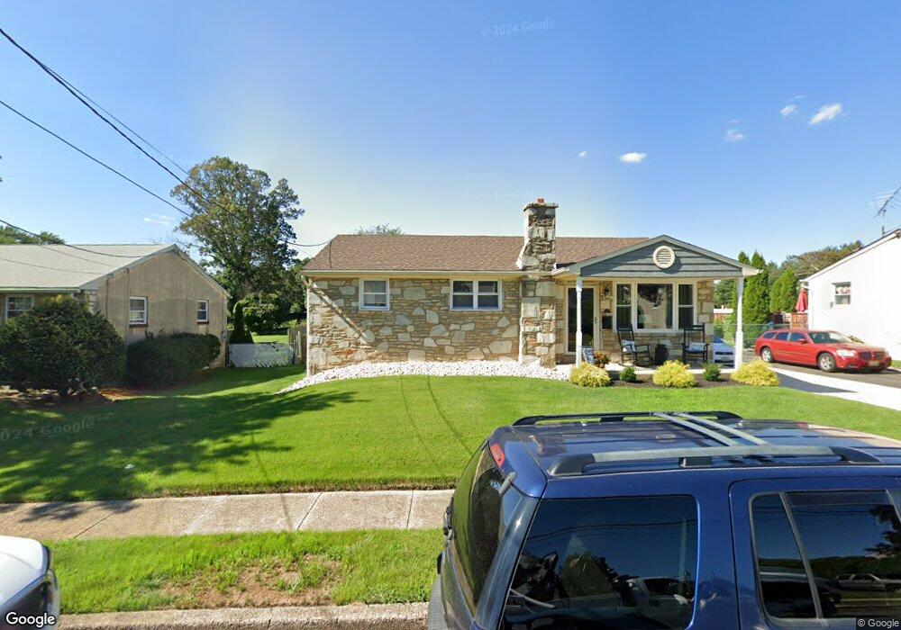
47 Lanci Rd Maple Shade, NJ 08052
Estimated Value: $251,000 - $429,000
Studio
--
Bath
1,672
Sq Ft
$209/Sq Ft
Est. Value
About This Home
This home is located at 47 Lanci Rd, Maple Shade, NJ 08052 and is currently estimated at $349,057, approximately $208 per square foot. 47 Lanci Rd is a home located in Burlington County with nearby schools including Ralph J Steinhauer Elementary School, Maude M. Wilkins Elementary School, and Howard R Yocum School.
Ownership History
Date
Name
Owned For
Owner Type
Purchase Details
Closed on
Dec 30, 2013
Sold by
Kriza Raymond D
Bought by
Vallen Matthew
Current Estimated Value
Purchase Details
Closed on
Mar 22, 1999
Sold by
Kriza Raymond F and Kriza Patricia H
Bought by
Kriza Raymond F and Kriza Patrica H
Home Financials for this Owner
Home Financials are based on the most recent Mortgage that was taken out on this home.
Original Mortgage
$18,900
Interest Rate
6.78%
Mortgage Type
Purchase Money Mortgage
Create a Home Valuation Report for This Property
The Home Valuation Report is an in-depth analysis detailing your home's value as well as a comparison with similar homes in the area
Home Values in the Area
Average Home Value in this Area
Purchase History
| Date | Buyer | Sale Price | Title Company |
|---|---|---|---|
| Vallen Matthew | $100,000 | None Available | |
| Kriza Raymond F | -- | Surety Title Corporation |
Source: Public Records
Mortgage History
| Date | Status | Borrower | Loan Amount |
|---|---|---|---|
| Previous Owner | Kriza Raymond F | $18,900 |
Source: Public Records
Tax History
| Year | Tax Paid | Tax Assessment Tax Assessment Total Assessment is a certain percentage of the fair market value that is determined by local assessors to be the total taxable value of land and additions on the property. | Land | Improvement |
|---|---|---|---|---|
| 2025 | $8,382 | $220,800 | $51,100 | $169,700 |
| 2024 | $8,139 | $220,800 | $51,100 | $169,700 |
| 2023 | $8,139 | $220,800 | $51,100 | $169,700 |
| 2022 | $8,013 | $220,800 | $51,100 | $169,700 |
| 2021 | $7,936 | $220,800 | $51,100 | $169,700 |
| 2020 | $7,958 | $220,800 | $51,100 | $169,700 |
| 2019 | $7,666 | $220,800 | $51,100 | $169,700 |
| 2018 | $7,534 | $220,800 | $51,100 | $169,700 |
| 2017 | $7,445 | $220,800 | $51,100 | $169,700 |
| 2016 | $7,654 | $230,400 | $51,100 | $179,300 |
| 2015 | $7,488 | $230,400 | $51,100 | $179,300 |
| 2014 | $7,260 | $230,400 | $51,100 | $179,300 |
Source: Public Records
Map
Nearby Homes
- 27 Indian Queen Ln
- 48 5th Ave
- 331 Collins Ln
- 400 N Forklanding Rd
- 3120 Route 73 N
- 2819 Haddonfield Rd
- 8315 Stockton Ave
- 8539 Bryn Mawr Ave
- 207 E Park Ave
- 712 E Woodlawn Ave
- 8661 Wyndam Rd
- 411 A3 Stiles Ave Unit A-3
- 411 C12 Stiles Ave Unit C-12
- 411 A2 Stiles Ave Unit A-2
- 8201 Weymouth Dr
- 5 Exeter Place
- 8323 Maple Ave
- 5 Vincent Way
- 27 Domenica Dr
- 48 Helen Ave
Your Personal Tour Guide
Ask me questions while you tour the home.