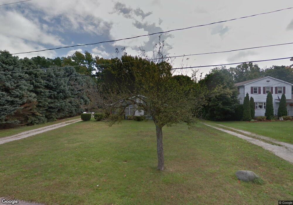
47 Lee Rd Painesville, OH 44077
Estimated Value: $186,132 - $283,000
4
Beds
2
Baths
1,680
Sq Ft
$131/Sq Ft
Est. Value
About This Home
This home is located at 47 Lee Rd, Painesville, OH 44077 and is currently estimated at $219,533, approximately $130 per square foot. 47 Lee Rd is a home located in Lake County with nearby schools including Henry F. Lamuth Middle School, Riverside Junior/Senior High School, and Summit Academy Community School - Painesville.
Ownership History
Date
Name
Owned For
Owner Type
Purchase Details
Closed on
Sep 26, 2017
Sold by
Kuhn William J and Kuhn Karen L
Bought by
Rosipko Mark
Current Estimated Value
Home Financials for this Owner
Home Financials are based on the most recent Mortgage that was taken out on this home.
Original Mortgage
$66,000
Outstanding Balance
$46,085
Interest Rate
4.11%
Mortgage Type
Adjustable Rate Mortgage/ARM
Estimated Equity
$173,448
Purchase Details
Closed on
Dec 12, 1991
Bought by
Kuhn William J
Create a Home Valuation Report for This Property
The Home Valuation Report is an in-depth analysis detailing your home's value as well as a comparison with similar homes in the area
Home Values in the Area
Average Home Value in this Area
Purchase History
| Date | Buyer | Sale Price | Title Company |
|---|---|---|---|
| Rosipko Mark | $95,000 | None Available | |
| Kuhn William J | $56,300 | -- |
Source: Public Records
Mortgage History
| Date | Status | Borrower | Loan Amount |
|---|---|---|---|
| Open | Rosipko Mark | $66,000 |
Source: Public Records
Tax History Compared to Growth
Tax History
| Year | Tax Paid | Tax Assessment Tax Assessment Total Assessment is a certain percentage of the fair market value that is determined by local assessors to be the total taxable value of land and additions on the property. | Land | Improvement |
|---|---|---|---|---|
| 2024 | -- | $53,060 | $14,200 | $38,860 |
| 2023 | $4,029 | $36,970 | $10,300 | $26,670 |
| 2022 | $2,549 | $36,970 | $10,300 | $26,670 |
| 2021 | $2,316 | $36,970 | $10,300 | $26,670 |
| 2020 | $2,599 | $32,150 | $8,960 | $23,190 |
| 2019 | $2,299 | $32,150 | $8,960 | $23,190 |
| 2018 | $2,306 | $32,090 | $8,220 | $23,870 |
| 2017 | $2,369 | $32,090 | $8,220 | $23,870 |
| 2016 | $2,103 | $32,090 | $8,220 | $23,870 |
| 2015 | $1,885 | $32,090 | $8,220 | $23,870 |
| 2014 | $1,916 | $32,090 | $8,220 | $23,870 |
| 2013 | $1,874 | $32,090 | $8,220 | $23,870 |
Source: Public Records
Map
Nearby Homes
- 1809 Muirfield Ln
- 1787 Muirfield Ln
- 0 N Ridge Rd Unit 5110949
- 728 Bowhall Rd
- 79 Fruitland Ave
- 269 Hale Rd
- 634 N Creek Dr
- 108 Birch Dr
- 1865 Marsh Ln Unit 1865
- 389 Sand Trap Cir
- 1791 Muirfield Ln
- 547 Greenside Dr
- 499 Sand Trap Cir
- 1978 Marsh Ln Unit 1978
- 500 Park Rd
- 720 N Creek Dr
- 751 Bacon Rd
- 525 Morgan Dr
- 396 Park Rd
- V/L Morgan Dr