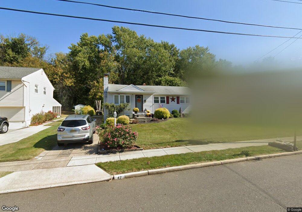
47 Linden Rd Burlington, NJ 08016
Estimated Value: $376,000 - $406,000
--
Bed
--
Bath
1,571
Sq Ft
$251/Sq Ft
Est. Value
About This Home
This home is located at 47 Linden Rd, Burlington, NJ 08016 and is currently estimated at $395,079, approximately $251 per square foot. 47 Linden Rd is a home located in Burlington County with nearby schools including B Bernice Young Elementary School, Fountain Woods Elementary School, and Burlington Township Middle School at Springside.
Ownership History
Date
Name
Owned For
Owner Type
Purchase Details
Closed on
Nov 30, 2004
Sold by
Stumpf Patricia A
Bought by
Bartram Michael Patrick and Bartram Heather M
Current Estimated Value
Home Financials for this Owner
Home Financials are based on the most recent Mortgage that was taken out on this home.
Original Mortgage
$24,700
Interest Rate
5.63%
Mortgage Type
Unknown
Purchase Details
Closed on
May 23, 2002
Sold by
Stumpf William M
Bought by
Stumpf Patricia A
Create a Home Valuation Report for This Property
The Home Valuation Report is an in-depth analysis detailing your home's value as well as a comparison with similar homes in the area
Home Values in the Area
Average Home Value in this Area
Purchase History
| Date | Buyer | Sale Price | Title Company |
|---|---|---|---|
| Bartram Michael Patrick | $247,000 | Empire Title & Abstract Agen | |
| Stumpf Patricia A | -- | -- |
Source: Public Records
Mortgage History
| Date | Status | Borrower | Loan Amount |
|---|---|---|---|
| Closed | Bartram Michael Patrick | $24,700 | |
| Open | Bartram Michael Patrick | $197,600 |
Source: Public Records
Tax History Compared to Growth
Tax History
| Year | Tax Paid | Tax Assessment Tax Assessment Total Assessment is a certain percentage of the fair market value that is determined by local assessors to be the total taxable value of land and additions on the property. | Land | Improvement |
|---|---|---|---|---|
| 2025 | $6,282 | $207,200 | $50,100 | $157,100 |
| 2024 | $6,189 | $207,200 | $50,100 | $157,100 |
| 2023 | $6,189 | $207,200 | $50,100 | $157,100 |
| 2022 | $6,162 | $207,200 | $50,100 | $157,100 |
| 2021 | $6,224 | $207,200 | $50,100 | $157,100 |
| 2020 | $6,210 | $207,200 | $50,100 | $157,100 |
| 2019 | $6,224 | $207,200 | $50,100 | $157,100 |
| 2018 | $6,131 | $207,200 | $50,100 | $157,100 |
| 2017 | $6,094 | $207,200 | $50,100 | $157,100 |
| 2016 | $5,685 | $189,500 | $64,500 | $125,000 |
| 2015 | $5,586 | $189,500 | $64,500 | $125,000 |
| 2014 | $5,382 | $189,500 | $64,500 | $125,000 |
Source: Public Records
Map
Nearby Homes
- 9 Rose Ln
- 9 Frazier St
- 5 Linden Rd
- 5 Jennifer Ln
- 41 Creekside Way
- 12 Canal Crossing Unit 228
- 431 Cottage Ave
- 145 Creekside Way
- 104 Creekside Way
- 718 Woodlane Rd
- 401 Cardinal Rd
- 705 Woodlane Rd
- 5 Yubas Ave
- 507 E Franklin Ave
- 18 Central Ave
- 202 Buchanan Ave
- 6 Harvest Ln
- 424 Jefferson Ave
- 204 N Harrison Ave
- 321 N Arthur Dr