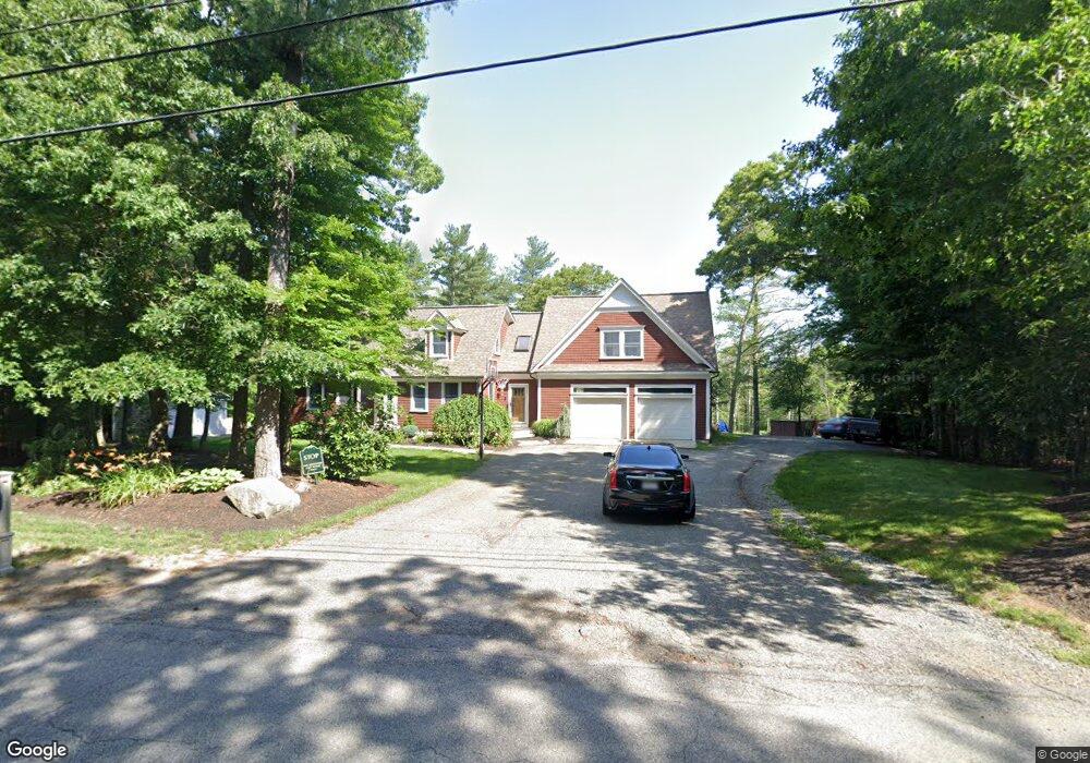
47 Malbone Rd Assonet, MA 02702
Estimated Value: $574,000 - $711,885
3
Beds
2
Baths
1,512
Sq Ft
$429/Sq Ft
Est. Value
About This Home
This home is located at 47 Malbone Rd, Assonet, MA 02702 and is currently estimated at $648,971, approximately $429 per square foot. 47 Malbone Rd is a home located in Bristol County with nearby schools including Freetown Elementary School, George R Austin Intermediate School, and Freetown-Lakeville Middle School.
Ownership History
Date
Name
Owned For
Owner Type
Purchase Details
Closed on
Oct 24, 2003
Sold by
Hall Bradley A and Hall Julie A
Bought by
Machado Brian D
Current Estimated Value
Home Financials for this Owner
Home Financials are based on the most recent Mortgage that was taken out on this home.
Original Mortgage
$308,600
Interest Rate
6.15%
Mortgage Type
Purchase Money Mortgage
Purchase Details
Closed on
Jul 1, 1998
Sold by
Graca James E and Graca Maureen E
Bought by
Hall Bradley A and Hall Julie A
Create a Home Valuation Report for This Property
The Home Valuation Report is an in-depth analysis detailing your home's value as well as a comparison with similar homes in the area
Purchase History
| Date | Buyer | Sale Price | Title Company |
|---|---|---|---|
| Machado Brian D | $324,900 | -- | |
| Hall Bradley A | $150,000 | -- |
Source: Public Records
Mortgage History
| Date | Status | Borrower | Loan Amount |
|---|---|---|---|
| Open | Hall Bradley A | $323,000 | |
| Closed | Hall Bradley A | $310,000 | |
| Closed | Hall Bradley A | $308,600 | |
| Previous Owner | Hall Bradley A | $136,000 |
Source: Public Records
Tax History
| Year | Tax Paid | Tax Assessment Tax Assessment Total Assessment is a certain percentage of the fair market value that is determined by local assessors to be the total taxable value of land and additions on the property. | Land | Improvement |
|---|---|---|---|---|
| 2025 | $6,602 | $666,200 | $226,300 | $439,900 |
| 2024 | $6,559 | $628,900 | $213,400 | $415,500 |
| 2023 | $6,428 | $600,200 | $192,200 | $408,000 |
| 2022 | $6,186 | $512,900 | $162,700 | $350,200 |
| 2021 | $5,795 | $456,300 | $147,900 | $308,400 |
| 2020 | $5,735 | $440,500 | $142,100 | $298,400 |
| 2019 | $5,515 | $419,400 | $140,900 | $278,500 |
| 2018 | $5,249 | $394,400 | $140,900 | $253,500 |
| 2017 | $4,875 | $366,000 | $140,900 | $225,100 |
| 2016 | $4,604 | $351,700 | $136,900 | $214,800 |
| 2015 | $4,518 | $350,200 | $136,900 | $213,300 |
| 2014 | $4,427 | $351,100 | $139,500 | $211,600 |
Source: Public Records
Map
Nearby Homes
- 52 Anthony St
- 0 Sammys Ln
- 37 Simpson Ln
- 23 Elmwood Dr
- 5 Hadley Heights Way
- 16 Water St Unit C
- 16 Water St Unit A
- 16 Water St Unit B
- 16 Water St Unit D
- 4 Hadley Heights Way
- 71 County St
- 73 Seymour St
- 42 High St
- 24 Bells Brook Rd
- 145 County St
- 66 S Main St
- 4 Narrows Rd
- 73 Bayview Ave
- 47 Narrows Rd
- 117 High St
Your Personal Tour Guide
Ask me questions while you tour the home.