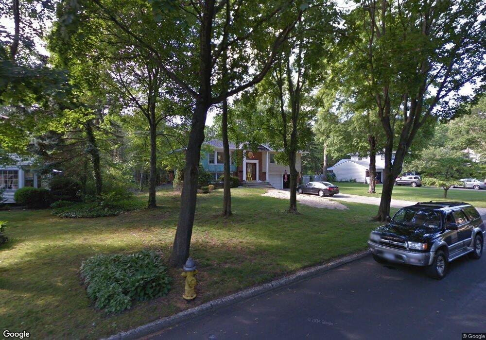
47 Mark Dr Smithtown, NY 11787
Estimated Value: $788,407 - $918,000
4
Beds
3
Baths
--
Sq Ft
21,780
Sq Ft
About This Home
This home is located at 47 Mark Dr, Smithtown, NY 11787 and is currently estimated at $850,102. 47 Mark Dr is a home located in Suffolk County with nearby schools including Smithtown Elementary School, Smithtown Christian School, and St Patrick Elementary School.
Ownership History
Date
Name
Owned For
Owner Type
Purchase Details
Closed on
Aug 23, 2016
Sold by
Puccio Lauren M and Scavuzzo Lauren M
Bought by
Buffolino Catherine
Current Estimated Value
Home Financials for this Owner
Home Financials are based on the most recent Mortgage that was taken out on this home.
Original Mortgage
$417,000
Interest Rate
3.42%
Mortgage Type
New Conventional
Purchase Details
Closed on
Jan 10, 2008
Sold by
Romanzi Louis P
Bought by
Scavuzzo Peter J
Create a Home Valuation Report for This Property
The Home Valuation Report is an in-depth analysis detailing your home's value as well as a comparison with similar homes in the area
Home Values in the Area
Average Home Value in this Area
Purchase History
| Date | Buyer | Sale Price | Title Company |
|---|---|---|---|
| Buffolino Catherine | $585,000 | Skyline Trg Title Agency | |
| Scavuzzo Peter J | $510,000 | Ronald W Holk |
Source: Public Records
Mortgage History
| Date | Status | Borrower | Loan Amount |
|---|---|---|---|
| Previous Owner | Buffolino Catherine | $417,000 |
Source: Public Records
Tax History
| Year | Tax Paid | Tax Assessment Tax Assessment Total Assessment is a certain percentage of the fair market value that is determined by local assessors to be the total taxable value of land and additions on the property. | Land | Improvement |
|---|---|---|---|---|
| 2024 | $13,644 | $5,251 | $475 | $4,776 |
| 2023 | $13,644 | $5,251 | $475 | $4,776 |
| 2018 | -- | $5,251 | $475 | $4,776 |
| 2017 | $11,091 | $5,251 | $475 | $4,776 |
| 2016 | $10,966 | $5,251 | $475 | $4,776 |
| 2015 | -- | $5,251 | $475 | $4,776 |
| 2014 | -- | $5,251 | $475 | $4,776 |
Source: Public Records
Map
Nearby Homes
- 7 Flamingo Dr
- 31 Brooksite Dr
- 55 Waverly Ave
- 96 Brooksite Dr
- 769 Meadow Rd
- 6 Stone Gate Ct
- 220 Larch Ln
- 27 Dillmont Dr
- 10 Manor Place
- 48 River Heights Dr
- 49 Lexington Ave
- 65 Birchbrook Dr
- 57 Birchbrook Dr
- 679A Meadow Rd
- 66 Darling Ave
- 18 Hill Ln
- 27 Rogers Ln Unit L
- 25 Rogers Ln
- 6 Keystone Ct
- 355 Route 111 Unit 6
Your Personal Tour Guide
Ask me questions while you tour the home.