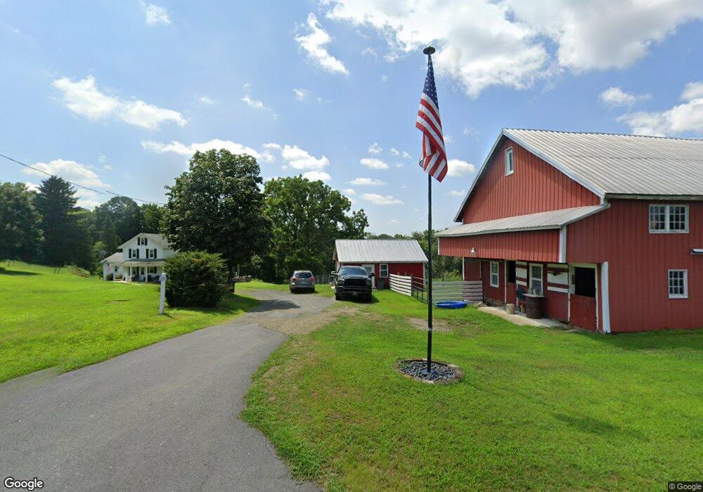
47 Mill Rd Klingerstown, PA 17941
Estimated Value: $171,000 - $263,000
4
Beds
2
Baths
1,364
Sq Ft
$158/Sq Ft
Est. Value
About This Home
This home is located at 47 Mill Rd, Klingerstown, PA 17941 and is currently estimated at $214,853, approximately $157 per square foot. 47 Mill Rd is a home located in Schuylkill County with nearby schools including Tri-Valley Junior/Senior High School.
Ownership History
Date
Name
Owned For
Owner Type
Purchase Details
Closed on
Feb 26, 2021
Sold by
Morgan Dorothy A
Bought by
Morgan Michael A and Morgan Candace A
Current Estimated Value
Home Financials for this Owner
Home Financials are based on the most recent Mortgage that was taken out on this home.
Original Mortgage
$112,000
Outstanding Balance
$100,400
Interest Rate
2.7%
Mortgage Type
New Conventional
Estimated Equity
$114,453
Purchase Details
Closed on
Aug 14, 2008
Sold by
Morgan Willis D and Morgan Rose M
Bought by
Morgan Ronald G and Morgan Dorothy A
Purchase Details
Closed on
Apr 7, 2005
Sold by
Morgan Willis D
Bought by
Morgan Willis D and Morgan Ronald
Create a Home Valuation Report for This Property
The Home Valuation Report is an in-depth analysis detailing your home's value as well as a comparison with similar homes in the area
Home Values in the Area
Average Home Value in this Area
Purchase History
| Date | Buyer | Sale Price | Title Company |
|---|---|---|---|
| Morgan Michael A | $140,000 | None Available | |
| Morgan Ronald G | -- | None Available | |
| Morgan Willis D | -- | None Available |
Source: Public Records
Mortgage History
| Date | Status | Borrower | Loan Amount |
|---|---|---|---|
| Open | Morgan Michael A | $112,000 |
Source: Public Records
Tax History Compared to Growth
Tax History
| Year | Tax Paid | Tax Assessment Tax Assessment Total Assessment is a certain percentage of the fair market value that is determined by local assessors to be the total taxable value of land and additions on the property. | Land | Improvement |
|---|---|---|---|---|
| 2025 | $2,243 | $34,010 | $14,645 | $19,365 |
| 2024 | $1,963 | $34,010 | $14,645 | $19,365 |
| 2023 | $1,890 | $34,010 | $14,645 | $19,365 |
| 2022 | $1,832 | $34,010 | $14,645 | $19,365 |
| 2021 | $1,803 | $34,010 | $14,645 | $19,365 |
| 2020 | $1,803 | $34,010 | $14,645 | $19,365 |
| 2018 | $1,731 | $34,010 | $14,645 | $19,365 |
| 2017 | $1,373 | $28,115 | $14,645 | $13,470 |
| 2015 | -- | $28,115 | $14,645 | $13,470 |
| 2011 | -- | $28,115 | $0 | $0 |
Source: Public Records
Map
Nearby Homes
- 4133 Lower Rd
- 3183 Upper Rd
- 511 Pine Dr
- LOT#2 Blacks Ln
- LOT# 3 Blacks Ln
- 616 W Maple St
- 421 Broad St
- 207 W Maple St
- 301 W Walnut St
- 4664 Upper Rd
- 4617 Upper Rd
- 513 E Chestnut St
- 537 E Chestnut St
- 2678 W Main St
- 15 Snyder Rd
- 2885 Schwaben Creek Rd
- 0 Ridge Rd
- 1530 W Fern St
- 1401 W Montgomery St
- 1629 W Willow St