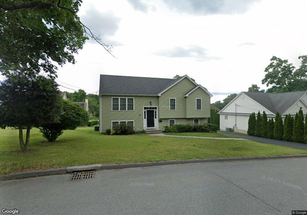
47 Miscoe Rd Worcester, MA 01604
Broadmeadow Brook NeighborhoodEstimated Value: $509,000 - $662,000
3
Beds
3
Baths
1,707
Sq Ft
$329/Sq Ft
Est. Value
About This Home
This home is located at 47 Miscoe Rd, Worcester, MA 01604 and is currently estimated at $561,177, approximately $328 per square foot. 47 Miscoe Rd is a home located in Worcester County with nearby schools including Jacob Hiatt Magnet School, Chandler Magnet, and Rice Square Elementary School.
Ownership History
Date
Name
Owned For
Owner Type
Purchase Details
Closed on
Oct 18, 2018
Sold by
Owi Doite M
Bought by
Owi Doite M and Ofiemwanre Victor O
Current Estimated Value
Purchase Details
Closed on
Oct 23, 2012
Sold by
Etre Builders Inc
Bought by
Owi Dotie
Home Financials for this Owner
Home Financials are based on the most recent Mortgage that was taken out on this home.
Original Mortgage
$247,500
Interest Rate
3.57%
Mortgage Type
New Conventional
Purchase Details
Closed on
Oct 1, 2012
Sold by
Etre Ronald J
Bought by
Etre Builders Inc
Home Financials for this Owner
Home Financials are based on the most recent Mortgage that was taken out on this home.
Original Mortgage
$247,500
Interest Rate
3.57%
Mortgage Type
New Conventional
Purchase Details
Closed on
Aug 17, 2011
Sold by
Est Pingitore Rose and Rinaldi Susan
Bought by
Etre Ronald J
Create a Home Valuation Report for This Property
The Home Valuation Report is an in-depth analysis detailing your home's value as well as a comparison with similar homes in the area
Home Values in the Area
Average Home Value in this Area
Purchase History
| Date | Buyer | Sale Price | Title Company |
|---|---|---|---|
| Owi Doite M | -- | -- | |
| Owi Dotie | $275,000 | -- | |
| Etre Builders Inc | $97,000 | -- | |
| Etre Ronald J | $77,500 | -- |
Source: Public Records
Mortgage History
| Date | Status | Borrower | Loan Amount |
|---|---|---|---|
| Previous Owner | Owi Dotie | $247,500 |
Source: Public Records
Tax History
| Year | Tax Paid | Tax Assessment Tax Assessment Total Assessment is a certain percentage of the fair market value that is determined by local assessors to be the total taxable value of land and additions on the property. | Land | Improvement |
|---|---|---|---|---|
| 2025 | $6,698 | $507,800 | $117,600 | $390,200 |
| 2024 | $6,497 | $472,500 | $117,600 | $354,900 |
| 2023 | $6,421 | $447,800 | $102,300 | $345,500 |
| 2022 | $5,584 | $367,100 | $81,800 | $285,300 |
| 2021 | $5,486 | $337,000 | $65,400 | $271,600 |
| 2020 | $5,222 | $307,200 | $65,400 | $241,800 |
| 2019 | $5,305 | $294,700 | $58,900 | $235,800 |
| 2018 | $5,317 | $281,200 | $58,900 | $222,300 |
| 2017 | $5,080 | $264,300 | $58,900 | $205,400 |
| 2016 | $5,167 | $250,700 | $42,800 | $207,900 |
| 2015 | $5,032 | $250,700 | $42,800 | $207,900 |
| 2014 | $4,899 | $250,700 | $42,800 | $207,900 |
Source: Public Records
Map
Nearby Homes
- 3 Julien Ave
- 266 Massasoit Rd
- 259 Massasoit Rd
- 256 Massasoit Rd
- 9 Marissa Cir
- 25 Stoneham Rd
- 53 Denver Terrace
- 464-466 Granite St
- 460-462 Granite St
- 460-466 Granite St
- 7 Clarissa St
- 1195 Grafton St Unit 29
- 1195 Grafton St Unit 39
- 62 Allston Ave
- 6 Nathaniel St
- 300 Millbury Ave
- 20 Brightwood Ave
- 8 Nightview Place
- 405 Granite St
- 63 Progressive St
Your Personal Tour Guide
Ask me questions while you tour the home.