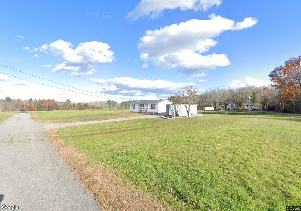
47 Mullett Ln Dayton, ME 04005
Dayton NeighborhoodEstimated Value: $333,194 - $499,000
2
Beds
2
Baths
960
Sq Ft
$420/Sq Ft
Est. Value
About This Home
This home is located at 47 Mullett Ln, Dayton, ME 04005 and is currently estimated at $403,299, approximately $420 per square foot. 47 Mullett Ln is a home with nearby schools including Dayton Consolidated School.
Ownership History
Date
Name
Owned For
Owner Type
Purchase Details
Closed on
Sep 26, 2018
Sold by
Mullett Raymond J
Bought by
Merchberger Michael E
Current Estimated Value
Home Financials for this Owner
Home Financials are based on the most recent Mortgage that was taken out on this home.
Original Mortgage
$124,000
Interest Rate
4.5%
Mortgage Type
Unknown
Purchase Details
Closed on
May 4, 2017
Sold by
Mullett Ethel D
Bought by
Mullett Raymond J
Create a Home Valuation Report for This Property
The Home Valuation Report is an in-depth analysis detailing your home's value as well as a comparison with similar homes in the area
Home Values in the Area
Average Home Value in this Area
Purchase History
| Date | Buyer | Sale Price | Title Company |
|---|---|---|---|
| Merchberger Michael E | -- | -- | |
| Mullett Raymond J | -- | -- |
Source: Public Records
Mortgage History
| Date | Status | Borrower | Loan Amount |
|---|---|---|---|
| Closed | Merchberger Michael E | $124,000 |
Source: Public Records
Tax History Compared to Growth
Tax History
| Year | Tax Paid | Tax Assessment Tax Assessment Total Assessment is a certain percentage of the fair market value that is determined by local assessors to be the total taxable value of land and additions on the property. | Land | Improvement |
|---|---|---|---|---|
| 2022 | $2,299 | $162,000 | $87,800 | $74,200 |
| 2021 | $2,299 | $162,000 | $87,800 | $74,200 |
| 2020 | $2,313 | $163,000 | $88,000 | $75,000 |
| 2019 | $2,224 | $164,000 | $88,000 | $76,000 |
| 2018 | $6,201 | $151,000 | $76,000 | $75,000 |
| 2017 | $6,426 | $131,700 | $64,700 | $67,000 |
| 2016 | $2,220 | $109,600 | $48,700 | $60,900 |
| 2015 | $2,276 | $109,600 | $48,700 | $60,900 |
| 2014 | $2,285 | $109,600 | $48,700 | $60,900 |
| 2007 | -- | $103,070 | $0 | $0 |
Source: Public Records
Map
Nearby Homes
- 203 Gould Rd
- 10 Tide Water Dr
- 11 Tide Water Dr
- 12 Tide Water Dr
- 473 Goodwins Mills Rd
- 55 Church St
- 6 Goodwins Acres
- 8 Smith Ln
- 17 John Clark Rd
- 25-2 K and M Way
- 130 River Rd
- 57 Reagan Lynn Rd
- 27 Goodwin Ln
- 560 South St
- 4 Smutty Ln
- 665 S Waterboro Rd
- 40 Oakwood St
- 296 Wadleigh Pond Rd
- 62-2 S Waterboro Rd
- 9 Atkinson Ln
- 43 Mullett Ln
- 50 Mullett Ln
- 42 Mullett Ln
- 749 Goodwins Mills Rd
- 39 Mullett Ln
- 29 Mullett Ln
- 769 Goodwins Mills Rd
- 24 Mullett Ln
- 0 Route 35 Unit 240818
- 0 Route 35 Unit 401397
- 0 Route 35 Unit 262694
- 0 Route 35 Unit 1369113
- 271 Buzzell Rd
- 388 Buzzell Rd
- 330 Buzzell Rd
- Lot 1 Gould Rd
- 31 Gould Rd
- 35 Gould Rd
- 280 Buzzell Rd
- 34 Gould Rd