47 Mygatt Rd Amenia, NY 12501
Estimated Value: $1,749,000 - $2,508,840
5
Beds
4
Baths
4,300
Sq Ft
$499/Sq Ft
Est. Value
About This Home
This home is located at 47 Mygatt Rd, Amenia, NY 12501 and is currently estimated at $2,144,947, approximately $498 per square foot. 47 Mygatt Rd is a home located in Dutchess County with nearby schools including Webutuck Elementary School, Eugene Brooks Intermediate School, and Maplebrook School.
Ownership History
Date
Name
Owned For
Owner Type
Purchase Details
Closed on
Nov 2, 2021
Sold by
Cowin Dana and Palmer Barclay
Bought by
Cowin Dana B and Palmer Barclay L
Current Estimated Value
Purchase Details
Closed on
Jul 13, 2009
Sold by
Byers Fred
Bought by
Cowin Dana
Purchase Details
Closed on
Mar 24, 2005
Sold by
Fhd Resources Llc
Bought by
Byers Fred C
Purchase Details
Closed on
Jul 12, 2004
Sold by
Fhb Resources Llc
Bought by
Byers Fred C
Purchase Details
Closed on
Oct 12, 2001
Sold by
Keane Christopher P
Bought by
Fhb Resources Llc
Create a Home Valuation Report for This Property
The Home Valuation Report is an in-depth analysis detailing your home's value as well as a comparison with similar homes in the area
Home Values in the Area
Average Home Value in this Area
Purchase History
| Date | Buyer | Sale Price | Title Company |
|---|---|---|---|
| Cowin Dana B | -- | None Available | |
| Cowin Dana | $1,152,200 | Shawn B Pratt | |
| Byers Fred C | $111,100 | Fred C Jr Byers | |
| Byers Fred C | $995,000 | Edward E Downey | |
| Fhb Resources Llc | $650,000 | Paul Quartararo |
Source: Public Records
Tax History Compared to Growth
Tax History
| Year | Tax Paid | Tax Assessment Tax Assessment Total Assessment is a certain percentage of the fair market value that is determined by local assessors to be the total taxable value of land and additions on the property. | Land | Improvement |
|---|---|---|---|---|
| 2024 | $19,449 | $1,540,100 | $550,800 | $989,300 |
| 2023 | $26,128 | $1,495,200 | $540,000 | $955,200 |
| 2022 | $28,732 | $1,347,000 | $500,000 | $847,000 |
| 2021 | $20,723 | $1,213,500 | $500,000 | $713,500 |
| 2020 | $17,839 | $1,213,500 | $500,000 | $713,500 |
| 2019 | $17,422 | $1,213,500 | $500,000 | $713,500 |
| 2018 | $19,395 | $1,213,500 | $500,000 | $713,500 |
| 2017 | $18,807 | $1,213,500 | $500,000 | $713,500 |
| 2016 | $19,264 | $1,213,500 | $500,000 | $713,500 |
| 2015 | -- | $1,213,500 | $500,000 | $713,500 |
| 2014 | -- | $1,213,500 | $500,000 | $713,500 |
Source: Public Records
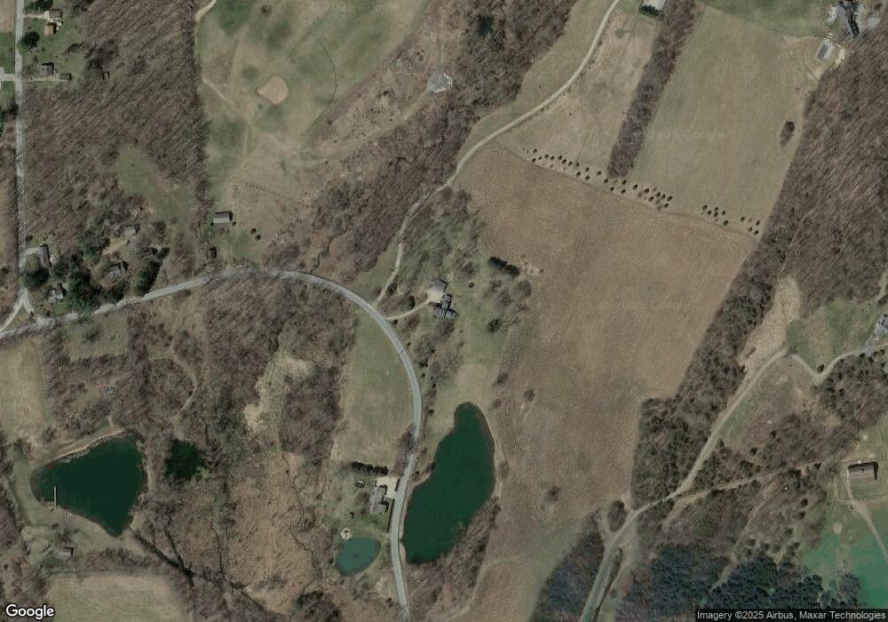
Map
Nearby Homes
- 0 Perrys Corners Rd Unit KEYM419993
- 0 Cascade Mountain Rd Unit 419986
- 31 Yellow City Rd
- 39 Prospect Ave
- 0 Route 343 Unit KEY896113
- 0 Route 343 Unit 20253568
- 75 Midway Ave
- 10 Stagecoach Ln
- 54 Midway Ave
- 174 Perrys Corners Rd
- 10 Flood Dr
- 2 Westerly Ridge Dr
- 51 Depot Hill Rd
- 4865 South St
- Lot 4 Westerly Ridge Dr
- 9 Morton Place
- 28 Yellow City Rd
- 5251 Route 44
- 782 Old Route 22
- 28 Oak Hill Rd