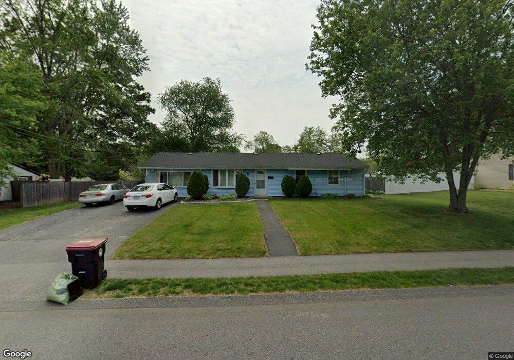
47 Nessralla Dr Brockton, MA 02302
Estimated Value: $467,000 - $515,000
3
Beds
1
Bath
1,316
Sq Ft
$367/Sq Ft
Est. Value
About This Home
This home is located at 47 Nessralla Dr, Brockton, MA 02302 and is currently estimated at $483,622, approximately $367 per square foot. 47 Nessralla Dr is a home located in Plymouth County with nearby schools including Davis K-8 School, John F. Kennedy Elementary School, and South Middle School.
Ownership History
Date
Name
Owned For
Owner Type
Purchase Details
Closed on
Jun 1, 2004
Sold by
Mejia Luis
Bought by
Stgermain Guerda
Current Estimated Value
Home Financials for this Owner
Home Financials are based on the most recent Mortgage that was taken out on this home.
Original Mortgage
$186,150
Interest Rate
5.88%
Mortgage Type
Purchase Money Mortgage
Purchase Details
Closed on
Oct 16, 1987
Sold by
Mejia Louis
Bought by
Payares Monica
Create a Home Valuation Report for This Property
The Home Valuation Report is an in-depth analysis detailing your home's value as well as a comparison with similar homes in the area
Home Values in the Area
Average Home Value in this Area
Purchase History
| Date | Buyer | Sale Price | Title Company |
|---|---|---|---|
| Stgermain Guerda | $219,000 | -- | |
| Payares Monica | $125,000 | -- |
Source: Public Records
Mortgage History
| Date | Status | Borrower | Loan Amount |
|---|---|---|---|
| Open | Payares Monica | $186,545 | |
| Closed | Payares Monica | $196,400 | |
| Closed | Payares Monica | $186,150 | |
| Previous Owner | Payares Monica | $100,000 |
Source: Public Records
Tax History Compared to Growth
Tax History
| Year | Tax Paid | Tax Assessment Tax Assessment Total Assessment is a certain percentage of the fair market value that is determined by local assessors to be the total taxable value of land and additions on the property. | Land | Improvement |
|---|---|---|---|---|
| 2025 | $4,620 | $381,500 | $159,500 | $222,000 |
| 2024 | $4,533 | $377,100 | $159,500 | $217,600 |
| 2023 | $4,359 | $335,800 | $109,800 | $226,000 |
| 2022 | $4,022 | $287,900 | $99,800 | $188,100 |
| 2021 | $4,061 | $280,100 | $92,400 | $187,700 |
| 2020 | $3,977 | $262,500 | $81,200 | $181,300 |
| 2019 | $3,723 | $239,600 | $77,400 | $162,200 |
| 2018 | $3,530 | $219,800 | $77,400 | $142,400 |
| 2017 | $2,929 | $181,900 | $77,400 | $104,500 |
| 2016 | $3,149 | $181,400 | $73,800 | $107,600 |
| 2015 | $2,697 | $148,600 | $73,800 | $74,800 |
| 2014 | $2,928 | $161,500 | $73,800 | $87,700 |
Source: Public Records
Map
Nearby Homes
- 55 Nessralla Dr
- 39 Nessralla Dr
- 212 Southfield Dr
- 204 Southfield Dr
- 44 Nessralla Dr
- 220 Southfield Dr
- 52 Nessralla Dr
- 196 Southfield Dr
- 36 Nessralla Dr
- 63 Nessralla Dr
- 31 Nessralla Dr
- 60 Nessralla Dr
- 21 Hopkins Rd
- 213 Southfield Dr
- 31 Hopkins Rd
- 28 Nessralla Dr
- 230 Southfield Dr
- 188 Southfield Dr
- 221 Southfield Dr
- 15 Hopkins Rd