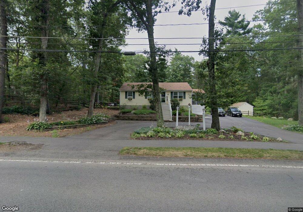
47 North St Norfolk, MA 02056
Estimated Value: $603,000 - $780,000
3
Beds
1
Bath
1,040
Sq Ft
$647/Sq Ft
Est. Value
About This Home
This home is located at 47 North St, Norfolk, MA 02056 and is currently estimated at $673,000, approximately $647 per square foot. 47 North St is a home located in Norfolk County with nearby schools including H. Olive Day School, Freeman-Kennedy School, and Woodside Montessori Academy.
Ownership History
Date
Name
Owned For
Owner Type
Purchase Details
Closed on
Feb 25, 2014
Sold by
Norfolk Municipal Affo
Bought by
Turi Karen and Turi David
Current Estimated Value
Home Financials for this Owner
Home Financials are based on the most recent Mortgage that was taken out on this home.
Original Mortgage
$132,275
Outstanding Balance
$100,865
Interest Rate
4.5%
Mortgage Type
FHA
Estimated Equity
$572,135
Purchase Details
Closed on
Oct 11, 2013
Sold by
Brogan Michael S
Bought by
Affordable Housing T
Purchase Details
Closed on
Mar 23, 2012
Sold by
Sjmg Investments Llc
Bought by
Brogan Michael S
Purchase Details
Closed on
Sep 13, 2005
Sold by
Morriss David D
Bought by
Brogan Mary and Brogan Michael
Create a Home Valuation Report for This Property
The Home Valuation Report is an in-depth analysis detailing your home's value as well as a comparison with similar homes in the area
Home Values in the Area
Average Home Value in this Area
Purchase History
| Date | Buyer | Sale Price | Title Company |
|---|---|---|---|
| Turi Karen | $145,000 | -- | |
| Affordable Housing T | $290,000 | -- | |
| Brogan Michael S | -- | -- | |
| Brogan Mary | $275,000 | -- |
Source: Public Records
Mortgage History
| Date | Status | Borrower | Loan Amount |
|---|---|---|---|
| Open | Turi Karen | $132,275 |
Source: Public Records
Tax History Compared to Growth
Tax History
| Year | Tax Paid | Tax Assessment Tax Assessment Total Assessment is a certain percentage of the fair market value that is determined by local assessors to be the total taxable value of land and additions on the property. | Land | Improvement |
|---|---|---|---|---|
| 2025 | $2,316 | $145,000 | $145,000 | $0 |
| 2024 | $2,258 | $145,000 | $145,000 | $0 |
| 2023 | $2,379 | $145,000 | $145,000 | $0 |
| 2022 | $2,639 | $145,000 | $145,000 | $0 |
| 2021 | $2,609 | $145,000 | $145,000 | $0 |
| 2015 | -- | $171,800 | $171,800 | $0 |
| 2014 | -- | $171,800 | $171,800 | $0 |
Source: Public Records
Map
Nearby Homes
- 118 Main St
- 8 Boyde's Crossing
- 8 Boyde's Crossing Unit 4
- 25 Boydes Crossing Unit 18
- 7 Malcolm St
- 7 Keeney Pond Rd
- 16 Keeney Pond Rd
- 6 Trailside Way
- 10 Medway St
- 18 Keeney Pond Rd
- 1 Old Mill Rd
- 118 Boardman St
- 2 Diamond St
- 3 Pheasanthill Rd
- 38 Robin Rd
- 11 Quail Run Rd
- 26 Ridge Rd
- 23 Fredrickson Rd
- 14 Robin Rd
- 292 Main St