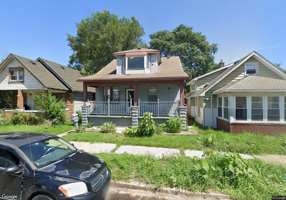
47 Orchard St River Rouge, MI 48218
Estimated Value: $105,000 - $108,000
--
Bed
--
Bath
1,224
Sq Ft
$87/Sq Ft
Est. Value
About This Home
This home is located at 47 Orchard St, River Rouge, MI 48218 and is currently estimated at $106,283, approximately $86 per square foot. 47 Orchard St is a home located in Wayne County with nearby schools including Ann Visger K-5 Preparatory Academy.
Ownership History
Date
Name
Owned For
Owner Type
Purchase Details
Closed on
Nov 11, 2022
Sold by
Wayne County Treasurer
Bought by
Brar Rajinder K
Current Estimated Value
Purchase Details
Closed on
Aug 30, 2006
Sold by
Ballard Leondrae D and Ballard Bayyinah
Bought by
Lasalle Bank Na and Certificateholders Of Bear Stearns Asset
Purchase Details
Closed on
Feb 12, 1997
Sold by
Patr Patricia K Copley
Bought by
William E Meth
Purchase Details
Closed on
Nov 4, 1994
Sold by
Franklin James R
Bought by
Meth William E
Create a Home Valuation Report for This Property
The Home Valuation Report is an in-depth analysis detailing your home's value as well as a comparison with similar homes in the area
Home Values in the Area
Average Home Value in this Area
Purchase History
| Date | Buyer | Sale Price | Title Company |
|---|---|---|---|
| Brar Rajinder K | $29,000 | -- | |
| Lasalle Bank Na | $68,000 | None Available | |
| William E Meth | $44,020 | -- | |
| Meth William E | $24,000 | -- |
Source: Public Records
Mortgage History
| Date | Status | Borrower | Loan Amount |
|---|---|---|---|
| Closed | Meth William E | $0 |
Source: Public Records
Tax History Compared to Growth
Tax History
| Year | Tax Paid | Tax Assessment Tax Assessment Total Assessment is a certain percentage of the fair market value that is determined by local assessors to be the total taxable value of land and additions on the property. | Land | Improvement |
|---|---|---|---|---|
| 2025 | $1,847 | $39,500 | $0 | $0 |
| 2024 | $1,847 | $33,200 | $0 | $0 |
| 2023 | $1,759 | $25,600 | $0 | $0 |
| 2022 | $992 | $19,300 | $0 | $0 |
| 2021 | $2,657 | $16,100 | $0 | $0 |
| 2020 | $1,793 | $13,500 | $0 | $0 |
| 2019 | $2,586 | $12,000 | $0 | $0 |
| 2018 | $2,633 | $11,000 | $0 | $0 |
| 2017 | $76 | $1,600 | $0 | $0 |
| 2016 | $1,682 | $1,600 | $0 | $0 |
| 2015 | $120 | $1,200 | $0 | $0 |
| 2013 | $290 | $2,900 | $0 | $0 |
| 2012 | $1,112 | $3,200 | $3,200 | $0 |
Source: Public Records
Map
Nearby Homes
- 49 Orchard St
- 27 Orchard St
- 19 Orchard St
- 47 E Rockwood St
- 15 Forest St
- 10 E Auburn Ave
- 50 E Rockwood St
- 20 Hill St
- 70 E Rockwood St
- 71 E Glenwood St
- 426 Genessee St
- 50 Abbott St
- 20 W Auburn St
- 37 Le Blanc St
- 40 W Rockwood St
- 16 Alexander St
- 47 W Rockwood St
- 12 Perrin St
- 37 Ruth St
- 99 E Great Lakes St