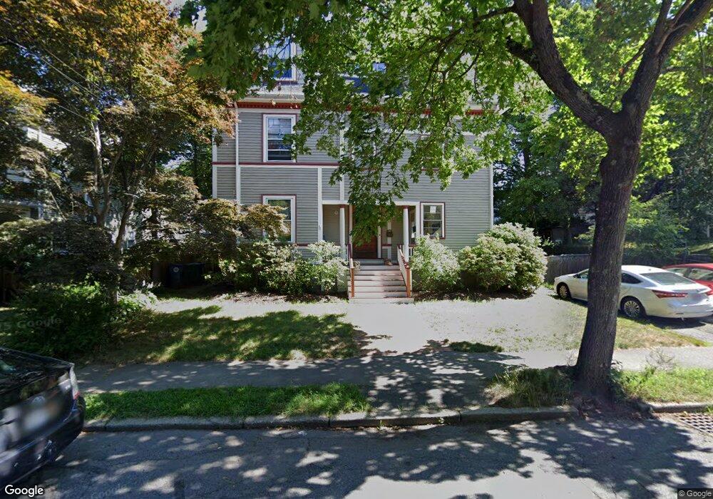
47 Page Rd Newtonville, MA 02460
Newtonville NeighborhoodEstimated Value: $1,539,000 - $1,933,000
6
Beds
4
Baths
3,012
Sq Ft
$570/Sq Ft
Est. Value
About This Home
This home is located at 47 Page Rd, Newtonville, MA 02460 and is currently estimated at $1,716,852, approximately $570 per square foot. 47 Page Rd is a home located in Middlesex County with nearby schools including Horace Mann Elementary School, F.A. Day Middle School, and Newton North High School.
Ownership History
Date
Name
Owned For
Owner Type
Purchase Details
Closed on
Nov 4, 1999
Sold by
Swenson Christopher F and Swenson Priscilla T
Bought by
Kaprow Alyce and Backer David S
Current Estimated Value
Purchase Details
Closed on
Oct 27, 1993
Sold by
Melngailis John and Weissman Michaele
Bought by
Swenson Christopher and Swenson Priscilla T
Create a Home Valuation Report for This Property
The Home Valuation Report is an in-depth analysis detailing your home's value as well as a comparison with similar homes in the area
Home Values in the Area
Average Home Value in this Area
Purchase History
| Date | Buyer | Sale Price | Title Company |
|---|---|---|---|
| Kaprow Alyce | $621,000 | -- | |
| Swenson Christopher | $317,000 | -- |
Source: Public Records
Mortgage History
| Date | Status | Borrower | Loan Amount |
|---|---|---|---|
| Open | Swenson Christopher | $180,000 | |
| Closed | Swenson Christopher | $185,000 |
Source: Public Records
Tax History Compared to Growth
Tax History
| Year | Tax Paid | Tax Assessment Tax Assessment Total Assessment is a certain percentage of the fair market value that is determined by local assessors to be the total taxable value of land and additions on the property. | Land | Improvement |
|---|---|---|---|---|
| 2025 | $14,630 | $1,492,900 | $711,700 | $781,200 |
| 2024 | $14,146 | $1,449,400 | $691,000 | $758,400 |
| 2023 | $13,573 | $1,333,300 | $552,200 | $781,100 |
| 2022 | $12,987 | $1,234,500 | $511,300 | $723,200 |
| 2021 | $12,187 | $1,132,600 | $469,100 | $663,500 |
| 2020 | $11,824 | $1,132,600 | $469,100 | $663,500 |
| 2019 | $11,061 | $1,058,500 | $438,400 | $620,100 |
| 2018 | $11,052 | $1,021,400 | $413,700 | $607,700 |
| 2017 | $10,421 | $937,100 | $379,500 | $557,600 |
| 2016 | $9,783 | $859,700 | $348,200 | $511,500 |
| 2015 | $9,329 | $803,500 | $325,400 | $478,100 |
Source: Public Records
Map
Nearby Homes
- 32-34 Rossmere St
- 168 Walnut St
- 611 Watertown St Unit 14
- 43 Walker St
- 911 Washington St
- 935 Washington St Unit 8
- 354 Linwood Ave Unit 1
- 957 Washington St Unit 1
- 57 Walnut St
- 321 Albemarle Rd
- 77 Court St Unit 205
- 42-44 Judkins St
- 11 Randlett Park
- 22 Walnut Place Unit 1
- 123-125 Mount Vernon St
- 123 Mount Vernon St Unit 2
- 4 Wiswall St
- 286 Nevada St Unit 286
- 282 Nevada St Unit 282
- 12 Wiswall St
- 47 Page Rd Unit 2
- 51 Page Rd
- 97 Lowell Ave
- 89 Lowell Ave Unit B
- 89 Lowell Ave Unit A
- 55 Page Rd
- 44 Page Rd
- 52 Page Rd
- 109 Lowell Ave
- 107 Lowell Ave
- 63 Page Rd Unit 65
- 58 Page Rd
- 83 Lowell Ave
- 65 Page Rd Unit 1
- 0 Edinboro Unit 71960078
- 61 Page Rd
- 26 Rossmere St Unit 28
- 26 Rossmere St
- 115 Lowell Ave
- 62 Page Rd