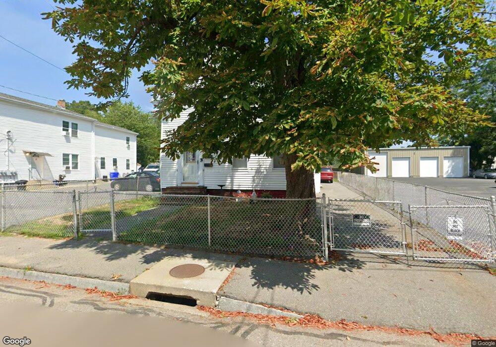
47 Park St Taunton, MA 02780
Whittenton NeighborhoodEstimated Value: $532,506 - $637,000
6
Beds
2
Baths
2,152
Sq Ft
$271/Sq Ft
Est. Value
About This Home
This home is located at 47 Park St, Taunton, MA 02780 and is currently estimated at $582,127, approximately $270 per square foot. 47 Park St is a home located in Bristol County with nearby schools including H. H. Galligan School, Taunton High School, and John F. Parker Middle School.
Ownership History
Date
Name
Owned For
Owner Type
Purchase Details
Closed on
Nov 14, 1988
Sold by
Beaulieu Sophie L
Bought by
Carroca Jose L
Current Estimated Value
Home Financials for this Owner
Home Financials are based on the most recent Mortgage that was taken out on this home.
Original Mortgage
$95,900
Interest Rate
10.36%
Mortgage Type
Purchase Money Mortgage
Create a Home Valuation Report for This Property
The Home Valuation Report is an in-depth analysis detailing your home's value as well as a comparison with similar homes in the area
Home Values in the Area
Average Home Value in this Area
Purchase History
| Date | Buyer | Sale Price | Title Company |
|---|---|---|---|
| Carroca Jose L | $119,900 | -- |
Source: Public Records
Mortgage History
| Date | Status | Borrower | Loan Amount |
|---|---|---|---|
| Open | Carroca Jose L | $107,833 | |
| Closed | Carroca Jose L | $95,900 |
Source: Public Records
Tax History Compared to Growth
Tax History
| Year | Tax Paid | Tax Assessment Tax Assessment Total Assessment is a certain percentage of the fair market value that is determined by local assessors to be the total taxable value of land and additions on the property. | Land | Improvement |
|---|---|---|---|---|
| 2025 | $5,263 | $481,100 | $96,100 | $385,000 |
| 2024 | $4,796 | $428,600 | $96,100 | $332,500 |
| 2023 | $4,456 | $369,800 | $96,100 | $273,700 |
| 2022 | $4,007 | $304,000 | $80,100 | $223,900 |
| 2021 | $3,884 | $273,500 | $72,800 | $200,700 |
| 2020 | $3,773 | $253,900 | $72,800 | $181,100 |
| 2019 | $3,412 | $216,500 | $72,800 | $143,700 |
| 2018 | $3,260 | $207,400 | $72,600 | $134,800 |
| 2017 | $3,002 | $191,100 | $68,800 | $122,300 |
| 2016 | $2,882 | $183,800 | $66,800 | $117,000 |
| 2015 | $2,604 | $173,500 | $67,500 | $106,000 |
| 2014 | $2,494 | $170,700 | $64,700 | $106,000 |
Source: Public Records
Map
Nearby Homes
- 10-r Hodges Ave
- 5 Dean Ave
- 14 Presbrey Ave
- 8 Bradford St
- 90 School St
- 19 Pine St
- 38 Trescott St
- 25 Fayette Place
- 13 Stanley Ave
- 29 Grant St
- 43 Pine St
- 43 Pine St Unit B
- 34 Grant St
- 19 Mason St
- 2 Elmhurst St
- 46 Harrison St Unit 5
- 46 Harrison St Unit 4
- 46 Harrison St Unit 2
- 0 M64 L39 Knapp St
- 0, M64 L50 Knapp St
- 43 Park St
- 43 Park St Unit 1
- 43 Park St Unit 2
- 51 Park St
- 53 Park St
- 41 Park St Unit 1R
- 41 Park St Unit 2
- 41 Park St
- 55 Park St
- 46 Park St
- 44 Park St
- 44 Park St Unit 1
- 44 Park St Unit 1st
- 34 N Pleasant St
- 39 Park St
- 48 Park St
- 38 N Pleasant St
- 38 N Pleasant St Unit 2
- 38 N Pleasant St Unit 1
- 54 Park St