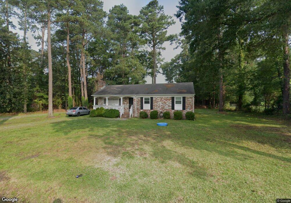
47 Pasture Rd Poquoson, VA 23662
Poquoson Shores NeighborhoodEstimated Value: $235,000 - $378,000
3
Beds
2
Baths
1,460
Sq Ft
$215/Sq Ft
Est. Value
About This Home
This home is located at 47 Pasture Rd, Poquoson, VA 23662 and is currently estimated at $313,455, approximately $214 per square foot. 47 Pasture Rd is a home located in Poquoson City with nearby schools including Emmanuel Lutheran School and Summit Christian Academy - Upper School.
Ownership History
Date
Name
Owned For
Owner Type
Purchase Details
Closed on
Dec 23, 2013
Sold by
Sec Of Housing And Urban
Bought by
Beach Road Llc
Current Estimated Value
Purchase Details
Closed on
Jun 5, 2013
Sold by
Samuel I White Pc
Bought by
Sec Of Housing And Urban
Purchase Details
Closed on
Sep 19, 2006
Sold by
Simpson Troy D
Bought by
Ricks Karen L
Home Financials for this Owner
Home Financials are based on the most recent Mortgage that was taken out on this home.
Original Mortgage
$189,600
Interest Rate
6.59%
Mortgage Type
New Conventional
Create a Home Valuation Report for This Property
The Home Valuation Report is an in-depth analysis detailing your home's value as well as a comparison with similar homes in the area
Home Values in the Area
Average Home Value in this Area
Purchase History
| Date | Buyer | Sale Price | Title Company |
|---|---|---|---|
| Beach Road Llc | $130,000 | -- | |
| Sec Of Housing And Urban | $338,489 | -- | |
| Ricks Karen L | $237,000 | -- |
Source: Public Records
Mortgage History
| Date | Status | Borrower | Loan Amount |
|---|---|---|---|
| Previous Owner | Ricks Karen L | $189,600 |
Source: Public Records
Tax History Compared to Growth
Tax History
| Year | Tax Paid | Tax Assessment Tax Assessment Total Assessment is a certain percentage of the fair market value that is determined by local assessors to be the total taxable value of land and additions on the property. | Land | Improvement |
|---|---|---|---|---|
| 2024 | $2,951 | $258,900 | $122,600 | $136,300 |
| 2023 | $2,874 | $258,900 | $122,600 | $136,300 |
| 2022 | $2,637 | $233,400 | $122,600 | $110,800 |
| 2021 | $2,637 | $233,400 | $122,600 | $110,800 |
| 2020 | $0 | $224,500 | $122,600 | $101,900 |
| 2019 | -- | $224,500 | $122,600 | $101,900 |
| 2018 | -- | $221,100 | $122,600 | $98,500 |
| 2017 | -- | $215,000 | $122,600 | $92,400 |
| 2016 | -- | $215,000 | $122,600 | $92,400 |
| 2015 | -- | $211,000 | $122,600 | $88,400 |
| 2013 | -- | $211,000 | $122,600 | $88,400 |
Source: Public Records
Map
Nearby Homes
- 28 Pasture Rd
- 41 W Sandy Point Rd
- 8 Wornom Farm Rd
- 15+AC Browns Neck Rd
- 11 Valmoore Dr
- 11 Dorothy Dr
- 1 Phillips Rd
- 240 Hunts Neck Rd
- 29 River Rd
- 35 River Rd
- 8 Harbour View Dr
- 11 Bull Run
- 40 Valmoore Dr
- 105 Rens Rd Unit 30
- 105 Rens Rd Unit 2
- 105 Rens Rd Unit 74
- 105 Rens Rd Unit Lot 48
- 108 Rens Rd
- 6 Lessies Dr
- 15 Pickins Dr