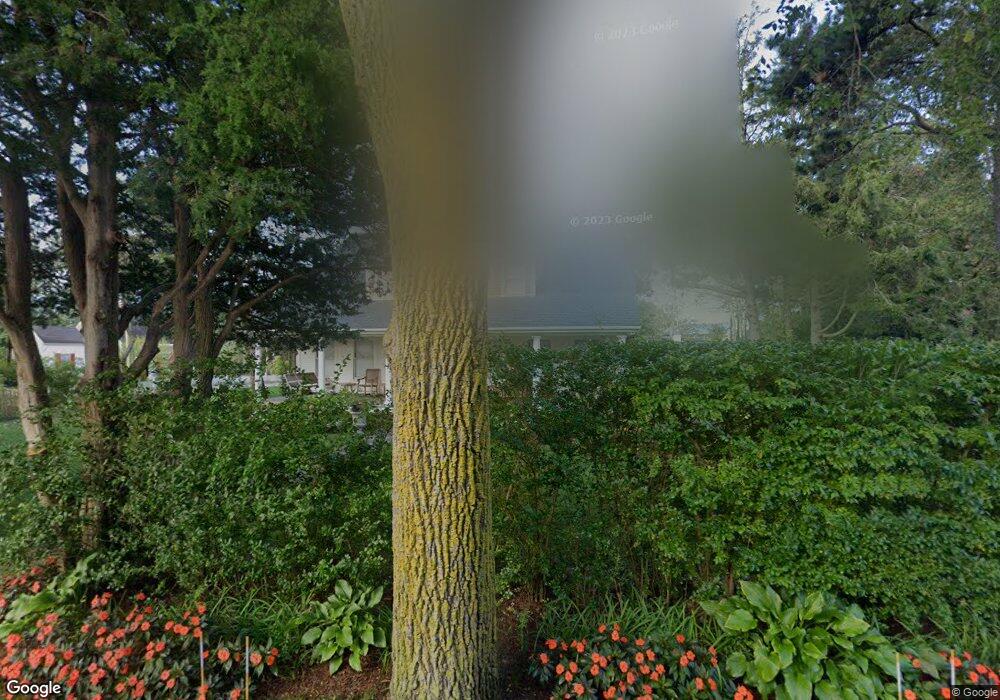
47 Perry Ln West Dennis, MA 02670
West Dennis NeighborhoodEstimated Value: $234,000 - $567,000
1
Bed
1
Bath
409
Sq Ft
$975/Sq Ft
Est. Value
About This Home
This home is located at 47 Perry Ln, West Dennis, MA 02670 and is currently estimated at $398,713, approximately $974 per square foot. 47 Perry Ln is a home located in Barnstable County with nearby schools including Dennis-Yarmouth Regional High School and St. Pius X. School.
Ownership History
Date
Name
Owned For
Owner Type
Purchase Details
Closed on
May 9, 2022
Sold by
Smith Jean A
Bought by
Jean Ann Smith 2022 Lt
Current Estimated Value
Purchase Details
Closed on
Mar 23, 2009
Sold by
Robinson Carol F
Bought by
Burns Elizabeth A and Burns John Keenan
Create a Home Valuation Report for This Property
The Home Valuation Report is an in-depth analysis detailing your home's value as well as a comparison with similar homes in the area
Home Values in the Area
Average Home Value in this Area
Purchase History
| Date | Buyer | Sale Price | Title Company |
|---|---|---|---|
| Jean Ann Smith 2022 Lt | -- | None Available | |
| Burns Elizabeth A | -- | -- |
Source: Public Records
Tax History Compared to Growth
Tax History
| Year | Tax Paid | Tax Assessment Tax Assessment Total Assessment is a certain percentage of the fair market value that is determined by local assessors to be the total taxable value of land and additions on the property. | Land | Improvement |
|---|---|---|---|---|
| 2025 | $1,246 | $287,800 | $158,900 | $128,900 |
| 2024 | $1,140 | $259,700 | $152,800 | $106,900 |
| 2023 | $1,103 | $236,100 | $138,900 | $97,200 |
| 2022 | $1,105 | $197,400 | $125,100 | $72,300 |
| 2021 | $1,094 | $181,400 | $122,700 | $58,700 |
| 2020 | $1,074 | $176,100 | $122,700 | $53,400 |
| 2019 | $1,763 | $174,900 | $120,300 | $54,600 |
| 2018 | $913 | $144,000 | $93,700 | $50,300 |
| 2017 | $876 | $142,500 | $93,700 | $48,800 |
| 2016 | $1,021 | $156,400 | $114,500 | $41,900 |
| 2015 | $1,001 | $156,400 | $114,500 | $41,900 |
| 2014 | $993 | $156,400 | $114,500 | $41,900 |
Source: Public Records
Map
Nearby Homes
- 23 Doric Ave
- 209 Main St Unit 3
- 209 Main St Unit 6
- 209 Main St Unit 1
- 209 Main St Unit 2
- 209 Main St Unit 4
- 209 Main St Unit 5
- 401 Main St Unit 201
- 401 Main St Unit 101
- 14 Schoolhouse Ln
- 428 Main St Unit 1-11
- 467 Main St
- 178 School St
- 45 Seth Ln
- 29 Bass River Rd
- 40 Kelley Rd
- 18 Turner Ln
- 2 Rita Mary Way
- 308 Old Main St
- 61 Trotters Ln